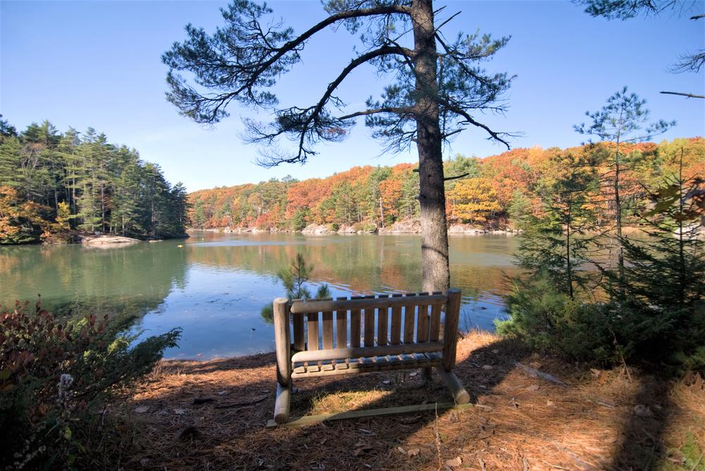
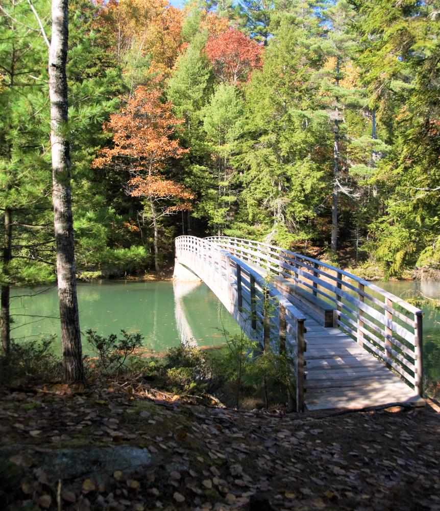
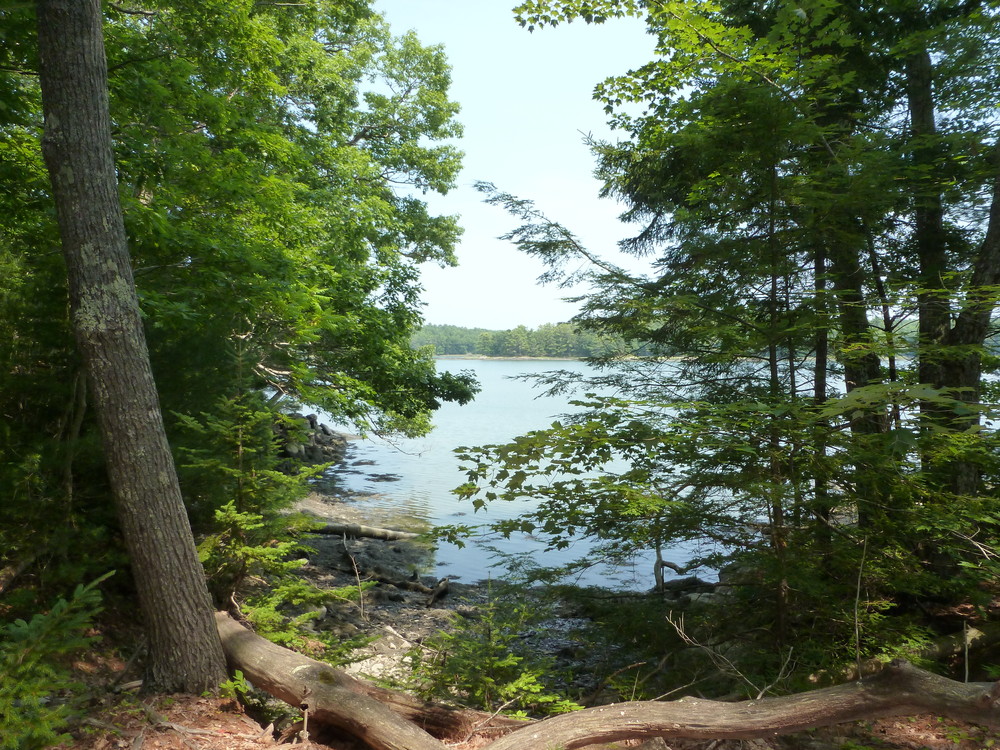
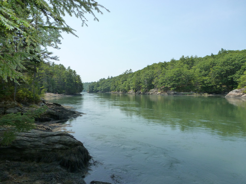
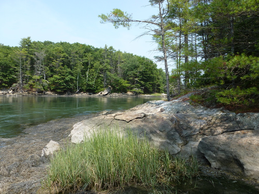
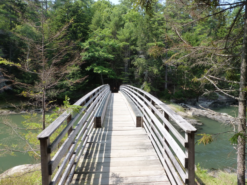
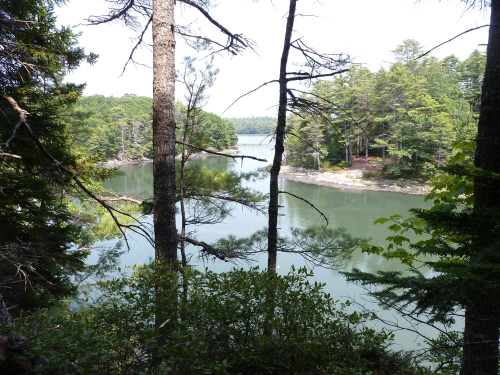
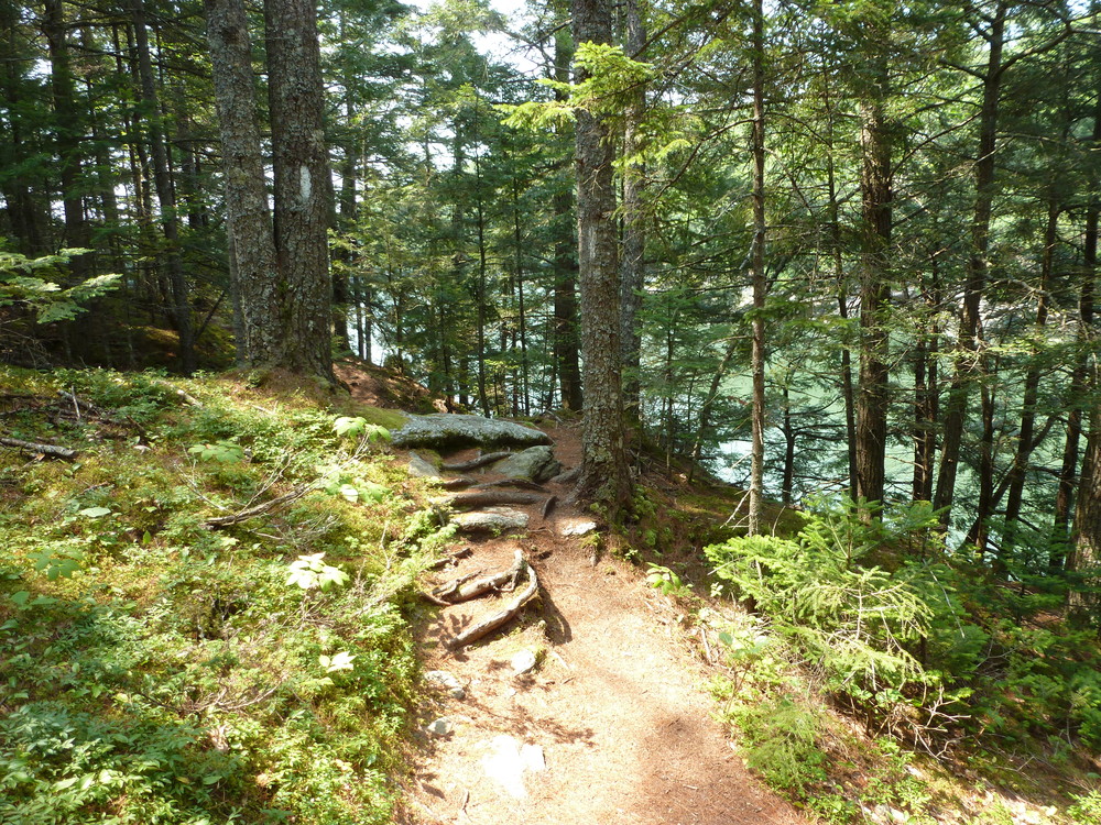
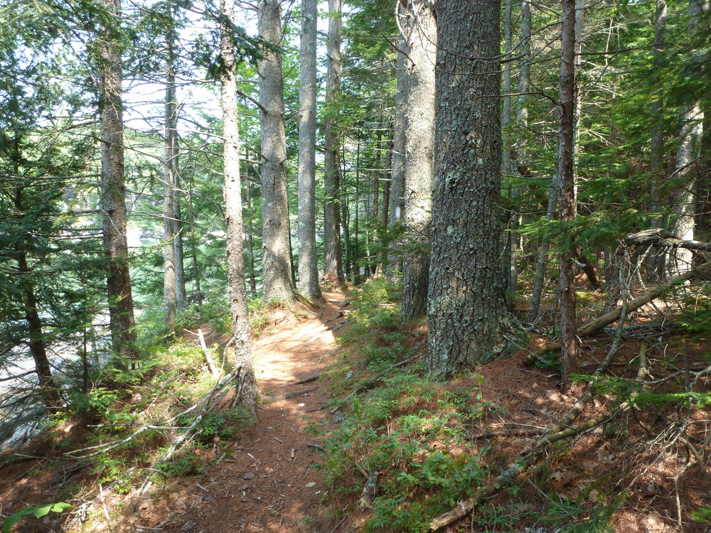
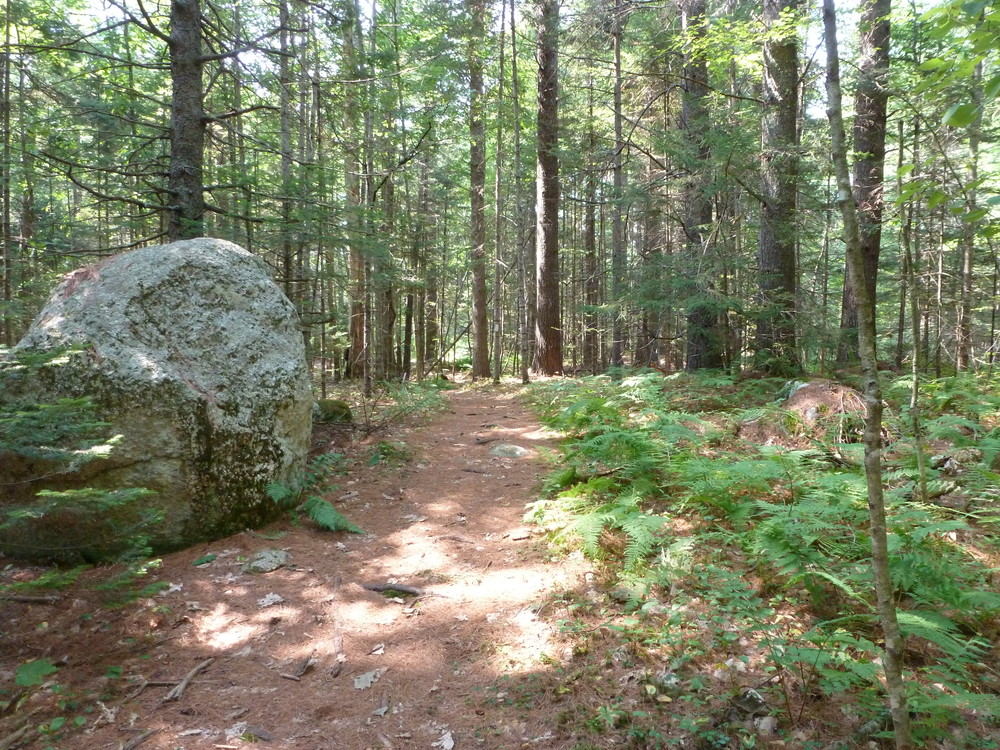
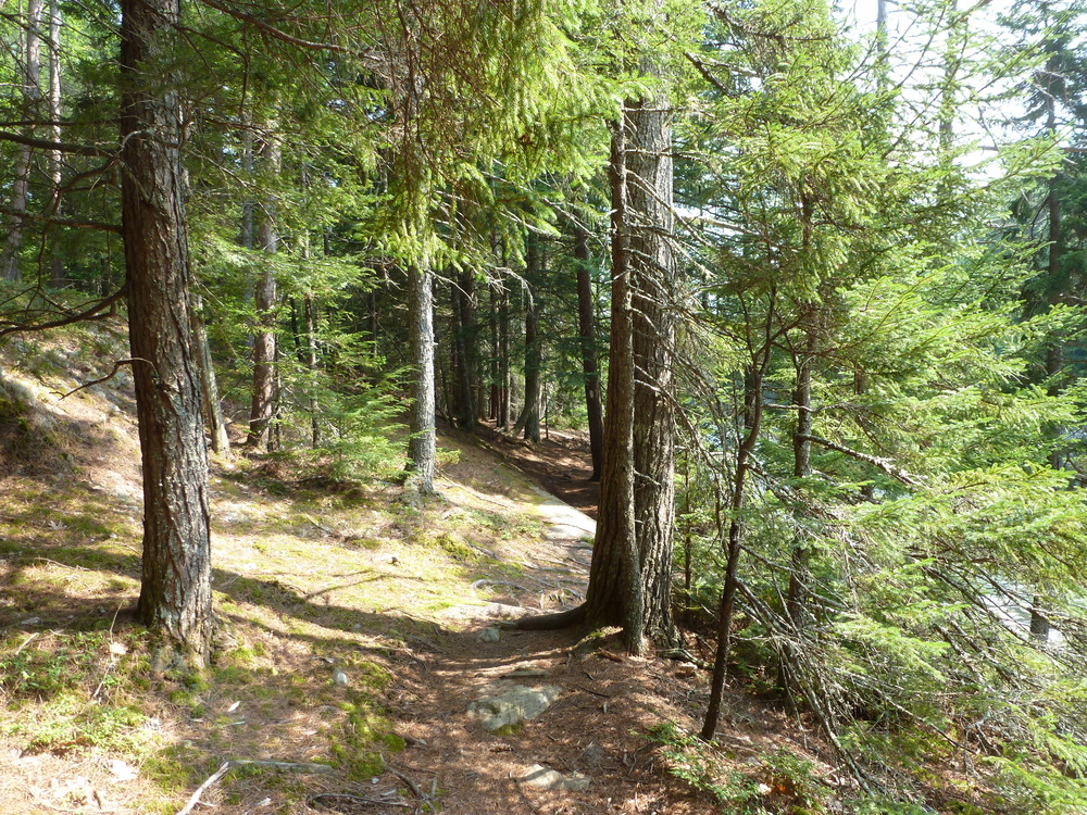
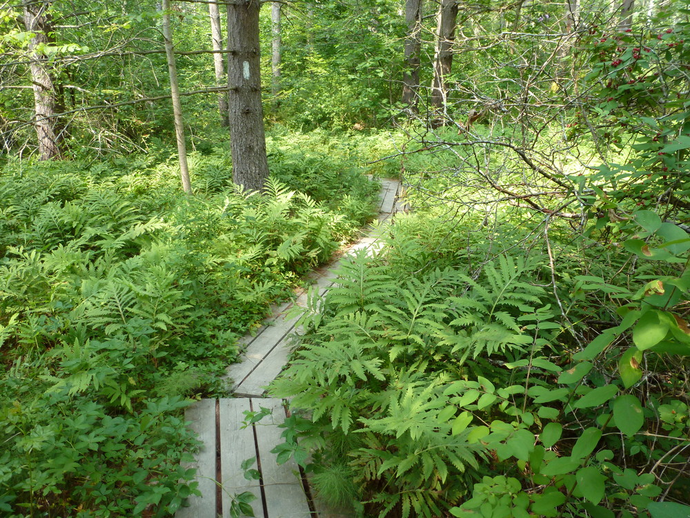
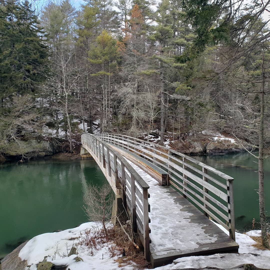
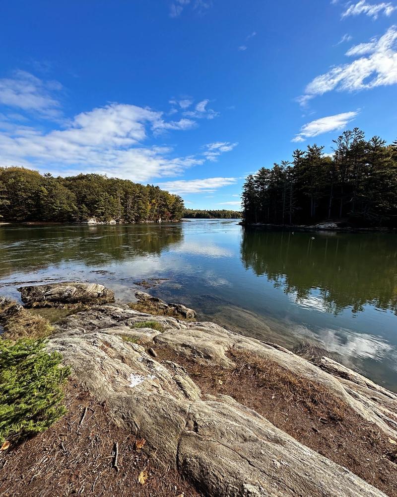
The Ovens Mouth Preserve is a unique 146-acre parcel of scenic shoreline bordered by swift tidal water, quiet coves and salt marshes. Of the three peninsulas at Ovens Mouth, the preserve includes those on the east and in the middle. There are 1.6 miles of hiking trails on the east peninsula, which is connected by a bridge to Ovens Mouth West. The 3.7 miles of hiking trails of the west peninsula are a much more strenuous hike than the east peninsula.
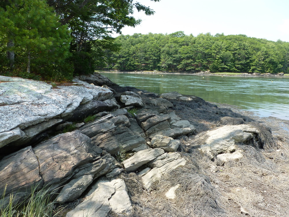
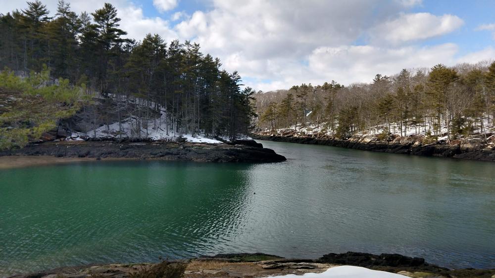
In 1994 the Boothbay Region Land Trust purchased 146 acres on Ovens Mouth, including both the eastern and middle peninsulas. The Ovens Mouth, bordered on the north by Edgecomb and on the south by Boothbay, is a narrow passage leading from the Sheepscot and Back Rivers to an extensive tidal basin. Early English explorers are thought to have seen a resemblance to an oven, hence the name. This area has always been inviting for maritime activities because of its deep-water access and protected location. Settled in the mid -1700’s, one of the region’s earliest shipyards was located here and both British and American vessels hid in the coves during the Revolution. Soon after the Civil War the property came into the hands of the Tibbetts-Welsh family who owned it for more than a hundred years.
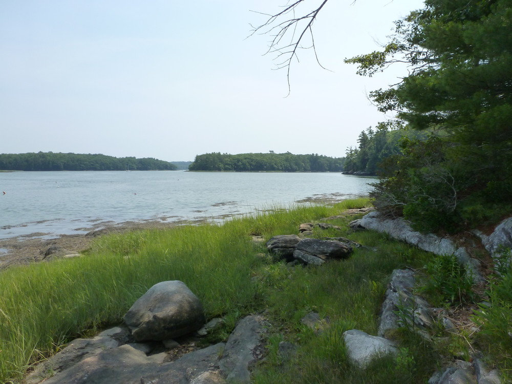
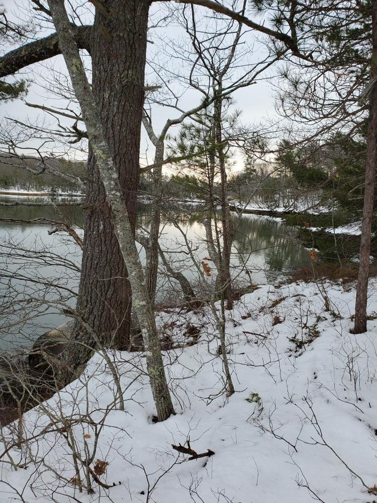
The peninsulas are heavily wooded, but this was not always so. The middle peninsula was cleared for sheep pasture early in the 19th century and was let go back to woodland by about 1850. It was cut for lumber during both of the World Wars. The top half of the east peninsula was field, while the lower half was pasture; it too grew up into woods after the 1930’s. A fine stand of pine blankets the peninsulas today. The BRLT plans to continue to manage the forest for recreational use, aesthetics, improvement of wildlife habitat, and timber production.
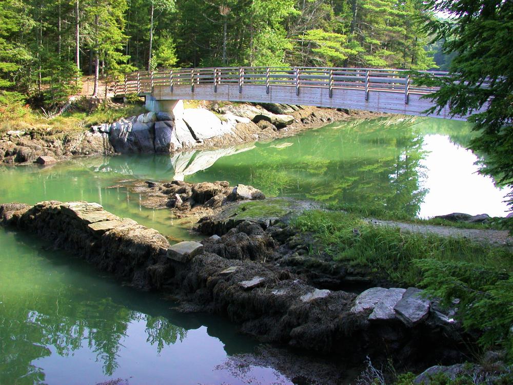
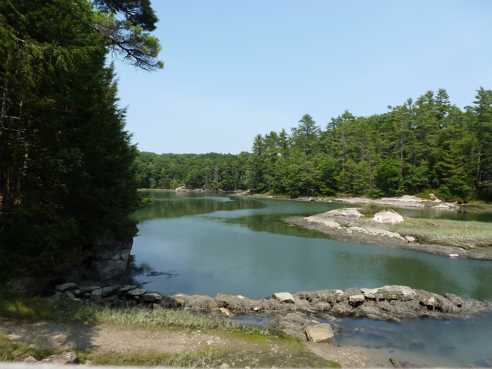
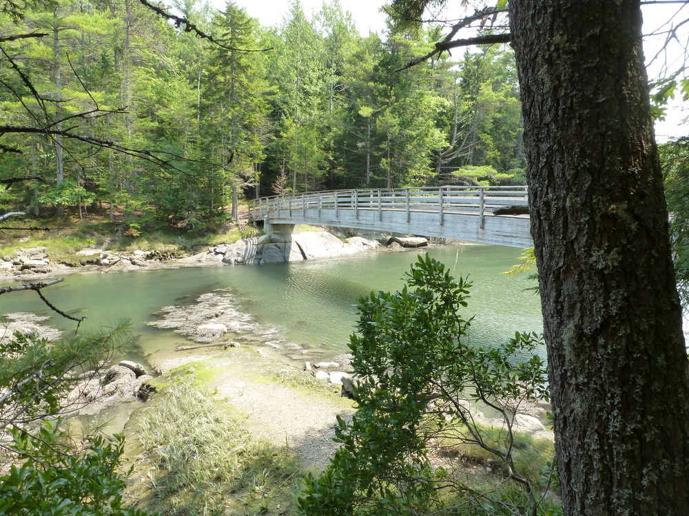
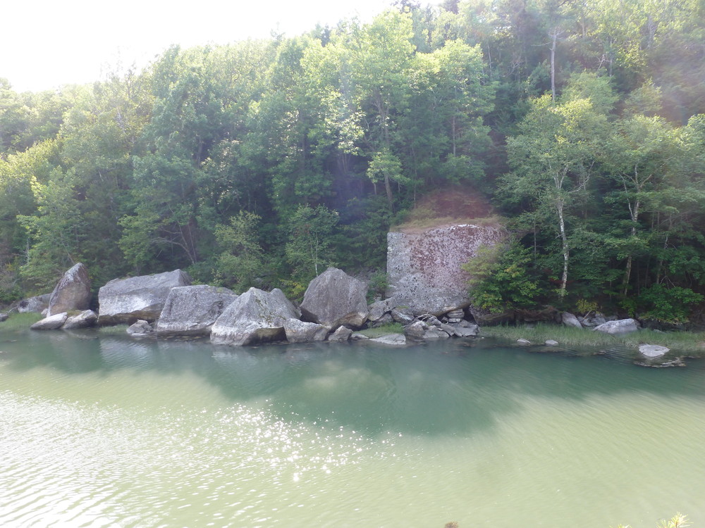
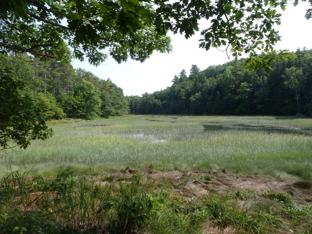
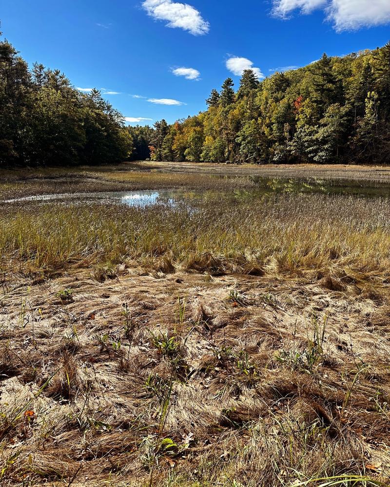
There are two coves on the Boothbay side of Ovens Mouth with the western one known locally as “Ice House Cove”. In 1880 in response to a growing demand for ice, it was dammed to form a fresh-water pond and an ice-house was built. The ice was shipped by schooner, mainly to Boston and New York. The remnants of the dam can be seen at low tide from the bridge which connects two peninsulas. A magnificent salt marsh has replaced the ice pond.
Both peninsulas are home to a variety of wildlife, including eagles, osprey, otters and deer Extensive trails and a handsome wooden bridge connecting the two peninsulas allow for a variety of hikes.
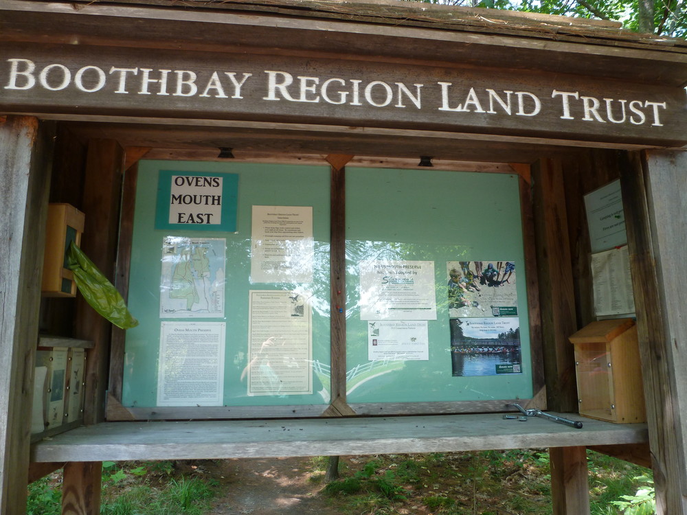
The Boothbay Region Land Trust (BRLT) manages the preserve and has worked to preserve the scenic beauty of the Boothbay region since 1980 through conserving land for the benefit and enjoyment of the residents and visitors.
BRLT properties are open for quiet, low impact activities. When visiting this BRLT property, please observe the following rules:
Visit Boothbay Regional Land Trust online for more information and a printable map or contact:
Boothbay Region Land TrustOvens Mouth East Trailhead: From the monument at Boothbay Center, travel north on ME Route 27 for 1.6 miles. Take a left onto Adams Pond Road. Proceed 0.1 miles, and turn right onto Dover Road. Continue 2.4 miles to the dead end. Parking is on the left.
Ovens Mouth West Trailhead: Follow the directions above to Dover Road. Go only 1.9 miles on Dover Road and bear left onto Dover Cross Road. The parking lot is 0.2 mile on the right.
Success! A new password has been emailed to you.