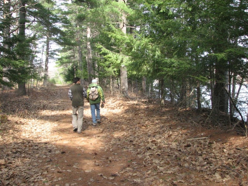
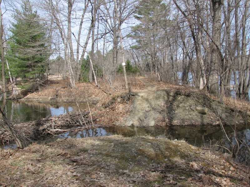
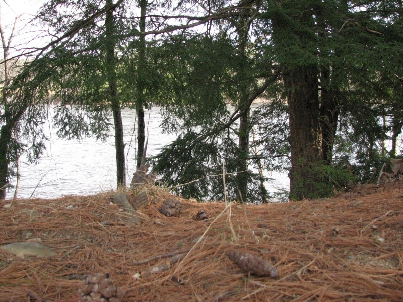
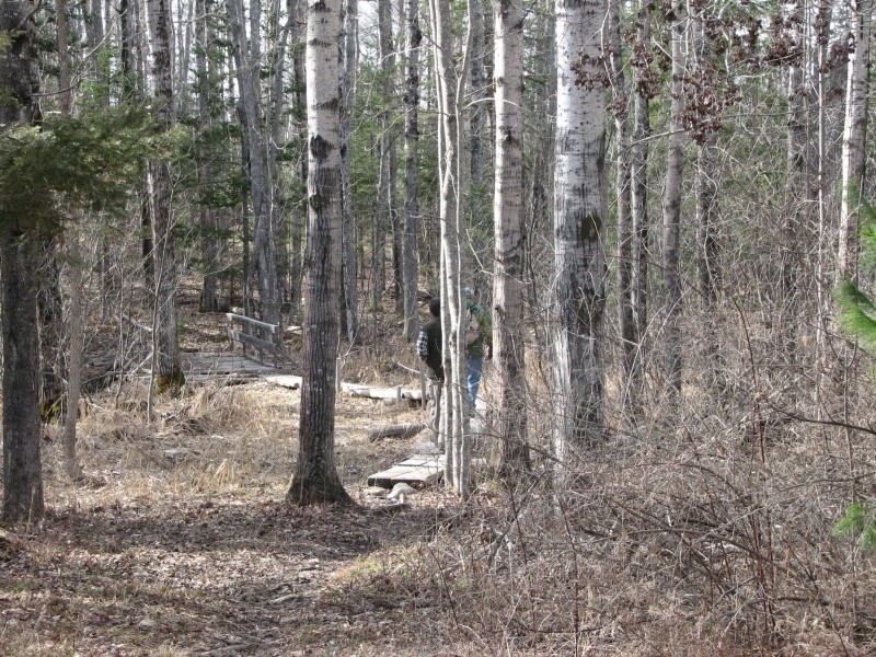
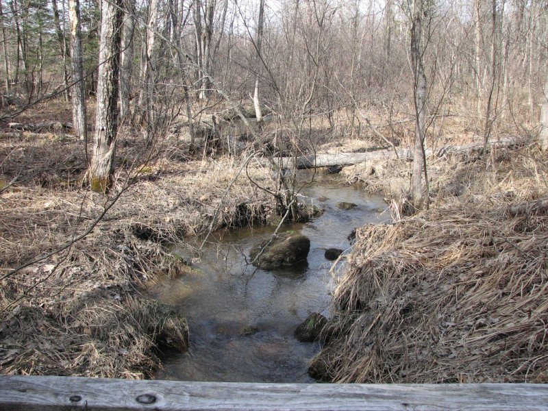
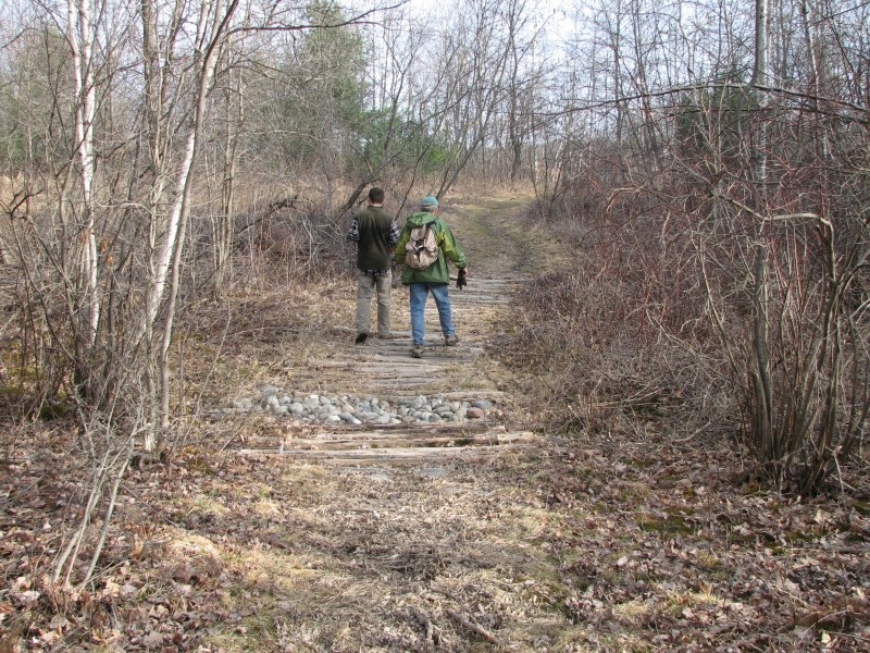
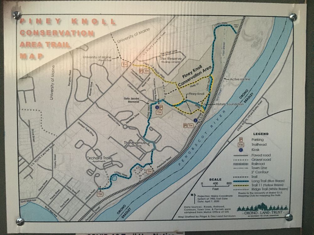
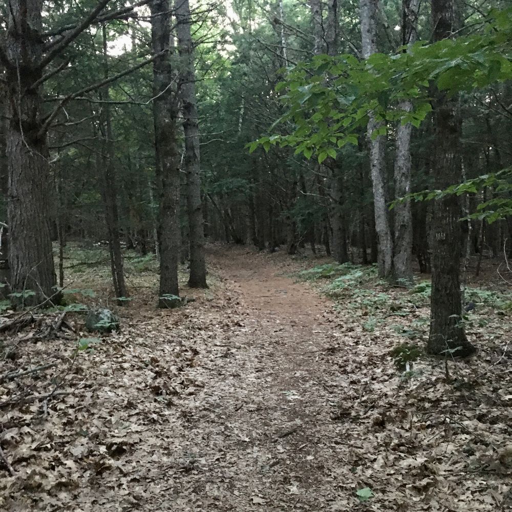
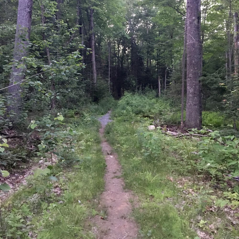
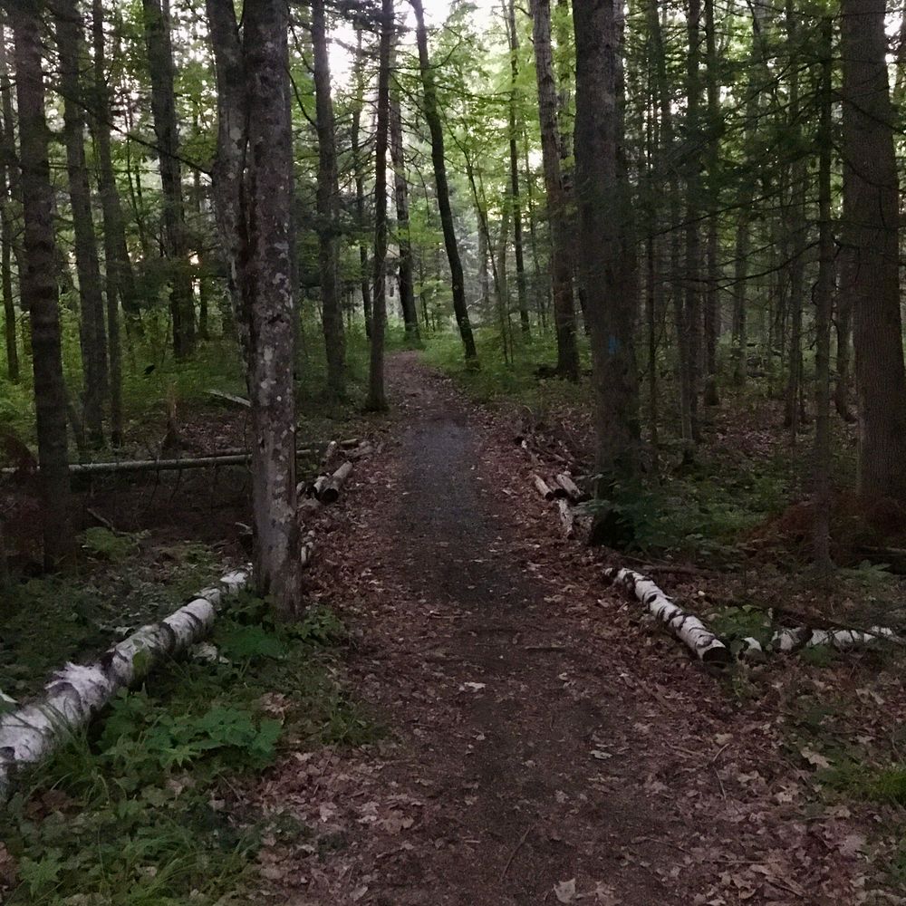
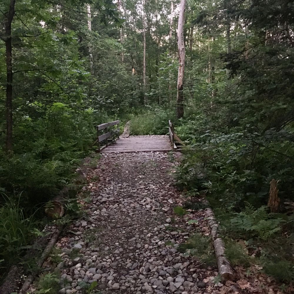
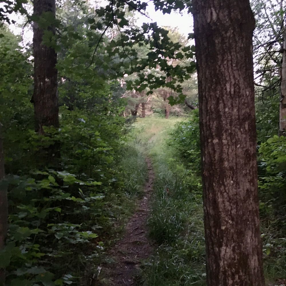
The Piney Knoll Conservation Area, formerly the Marsh Island Nature Area, offers over three miles of trails on varied terrain and habitat with everything from riverside marsh and open fields to regenerating and mature forest stands.
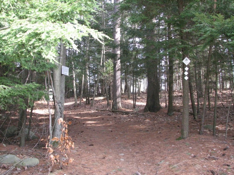
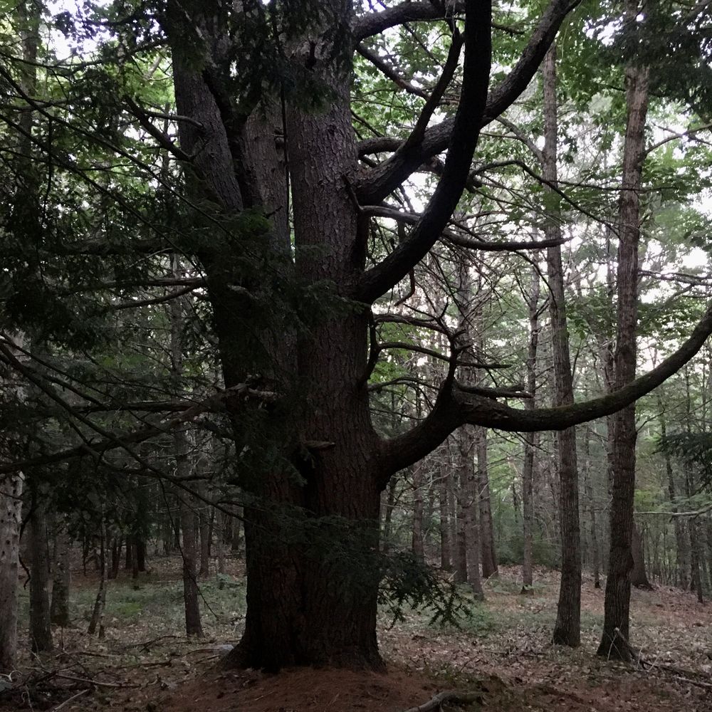
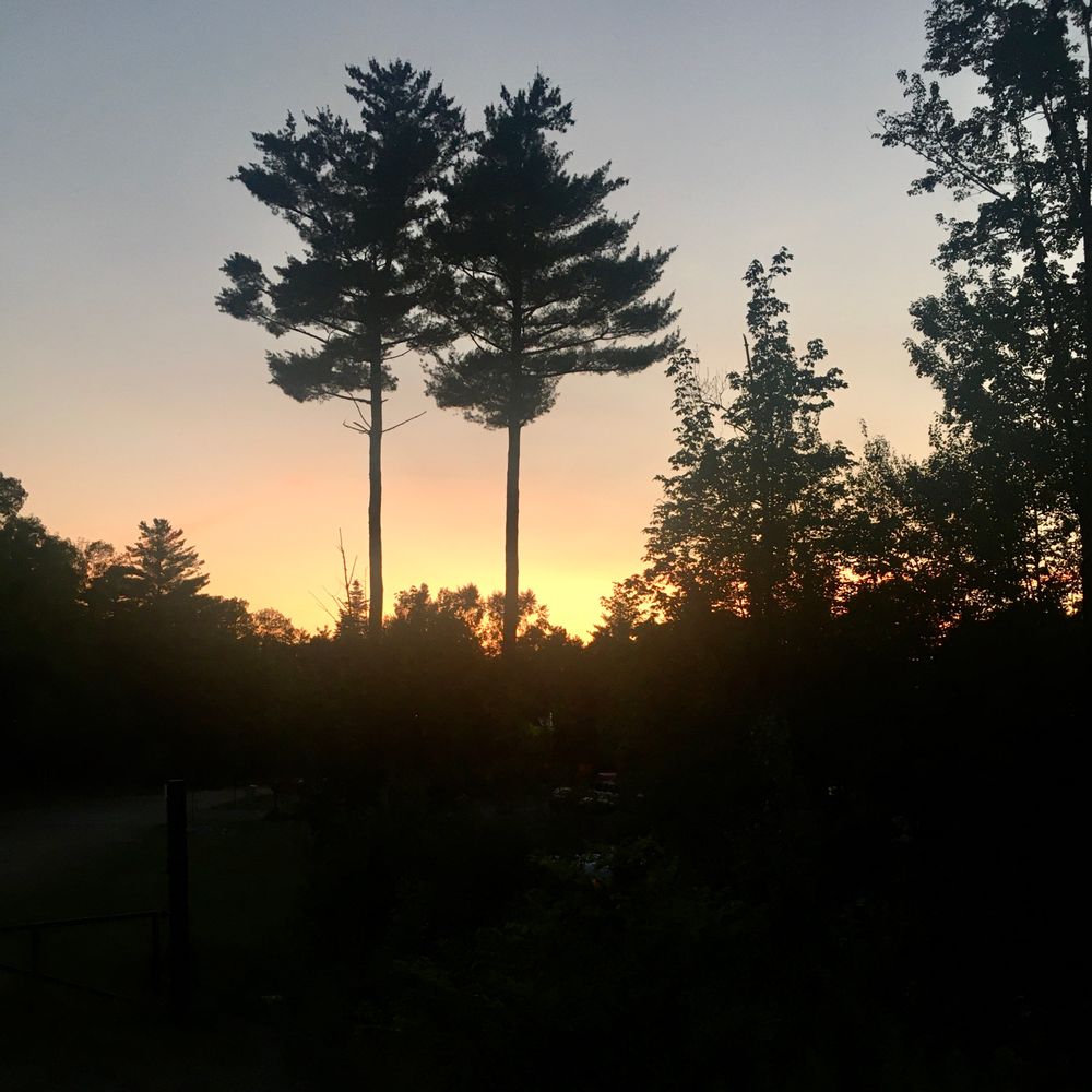
An area known as "Piney Knoll" is a popular place to sit and rest while surrounded by towering pines. In the winter, the network is connected to the University of Maine cross-country ski network and is a favorite local ski spot.
Dogs need to be under control of their owners. Please observe the carry-in carry-out policy.
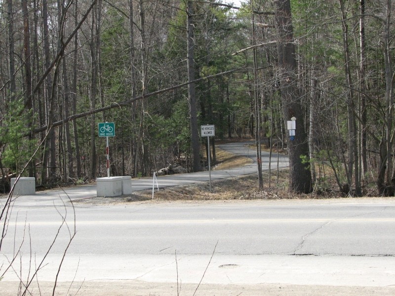
An active railroad track runs through the property near the Penobscot Street entrance. Please exercise caution near these tracks.

This trail passes through a property that was acquired in part with funds from the Land for Maine’s Future program. For more information about the LMF program and the places it has helped to protect, please visit the LMF webpage.
Visit Orono Land Trust online for more information and a printable map or contact:
Orono Land TrustPenobscot Street: From the center of downtown Orono, cross the Stillwater River on US Route 2/Main Street and turn right almost immediately onto North Main Street. Bear right at the three-way stop sign to stay on North Main Street. At the end of the street, turn left onto Penobscot Street. Follow Penobscot Street to its end (it becomes a dirt road after re-crossing the railroad tracks). Park at at the end of the street being sure not to block nearby driveways.
Hillside Road: For the Hillside Road trailhead near the Treat Falls House, follow the directions above but from North Main Street, turn left onto Hillside Street before crossing the railroad tracks and reaching Penobscot Street. Follow Hillside Street street straight through its intersection with Crosby Street and park on the side of the road where Hillside Street bends towards Treat Falls House.
Colburn Drive: From the center of downtown Orono, cross the Stillwater River on US Route 2/Main Street and bear right at the stop light to continue on US Route 2/Park Street. Continue 0.9 miles from the light and then turn right onto Colburn Drive. Follow Colburn Drive to its end and park on the side of the turnabout.
The network can also be accessed from the University of Maine trail system via Park Street.
Success! A new password has been emailed to you.