This is a guest post written by Enock Glidden, MTF Accessibility Ambassador, Public Speaker, Adaptive Athlete, and Adventurer. To learn more about Enock, please visit his website.
Hey fellow hikers! I have been wanting to check out some places in the Jay area for awhile now and I finally made it my destination. I had noticed that there is an accessible trail at a place called the Baldwin Hill Conservation Area. This was my main destination for the day, but as you know I never have just one destination so I started at Corn Shop Trail in North Turner.
As you can tell from the description on MTF it is a very short trail.:
“The Corn Shop Trail follows Martin Stream a short way on a relatively wide and easy to follow natural surface path. Along the way there are towering white pines and several places offering access to the stream. The trail continues until it peters out after a bend in the stream. Returning along the path to the road provides a 0.3 mile round trip.”
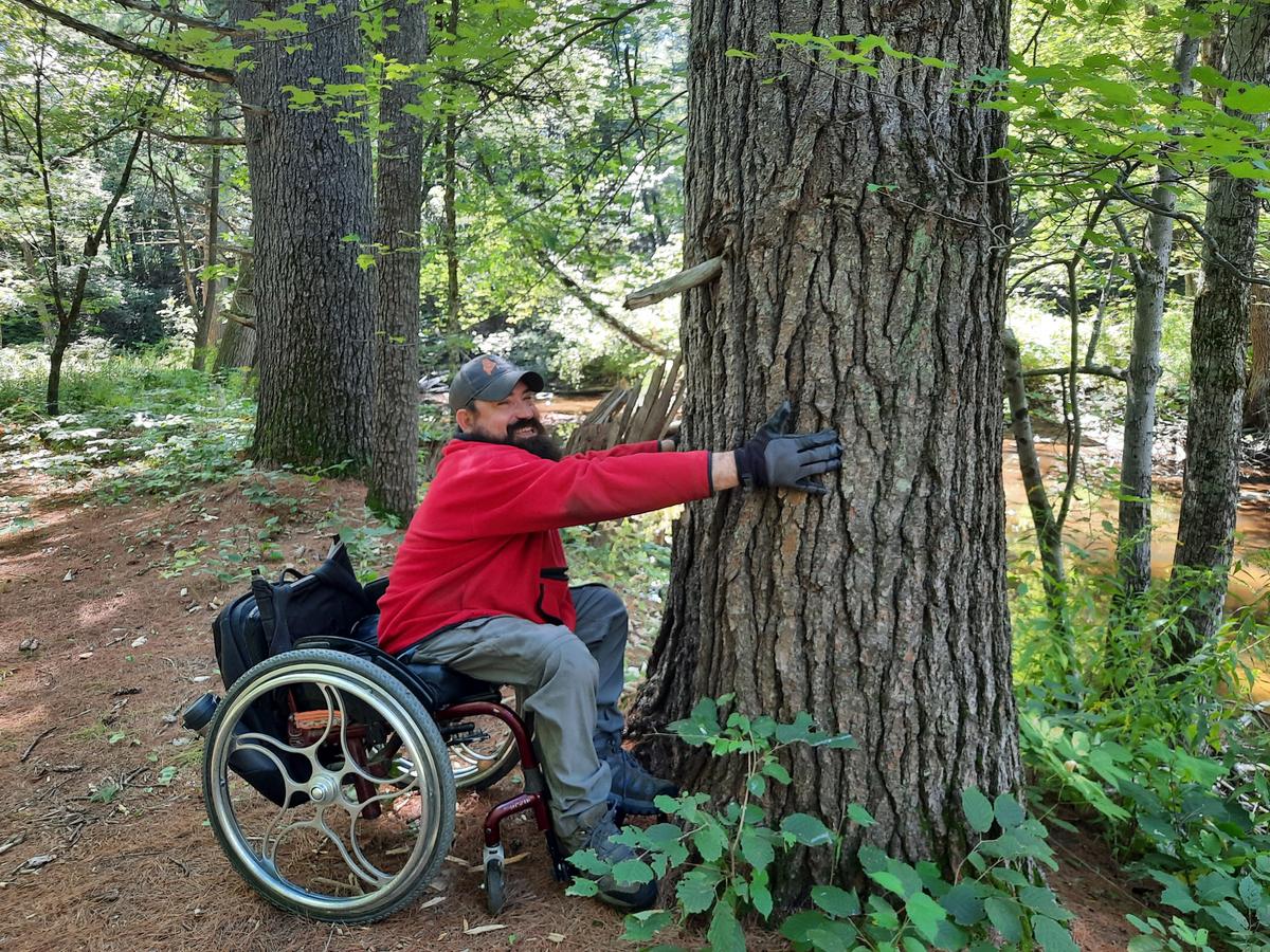
I thought this would be an easy quick stop to a beautiful destination. I was definitely not wrong.
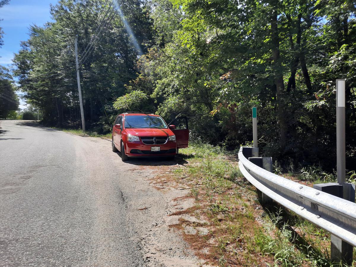
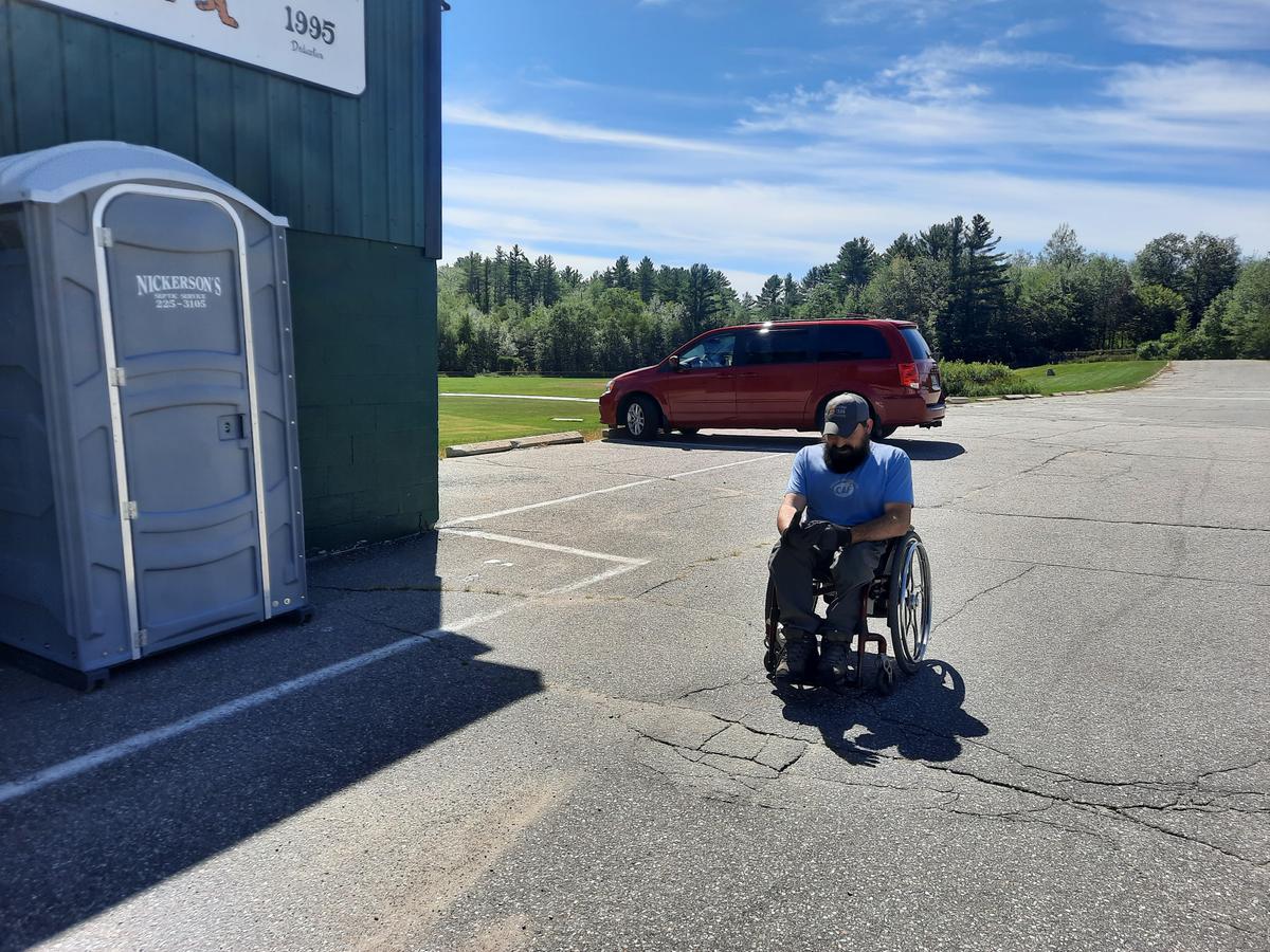
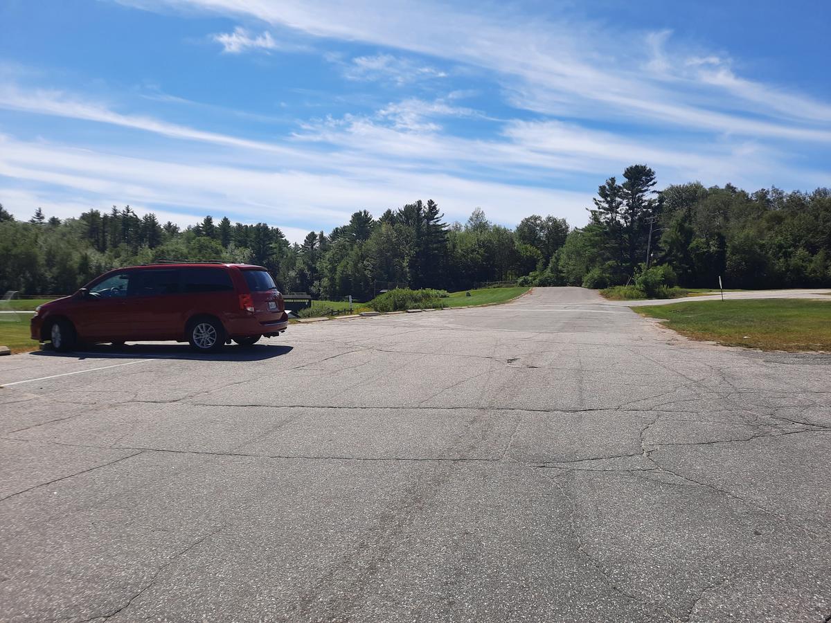
The parking area is at the end of the bridge right next to the road. There is plenty of room to pull off and still be able to get out of the vehicle safely.
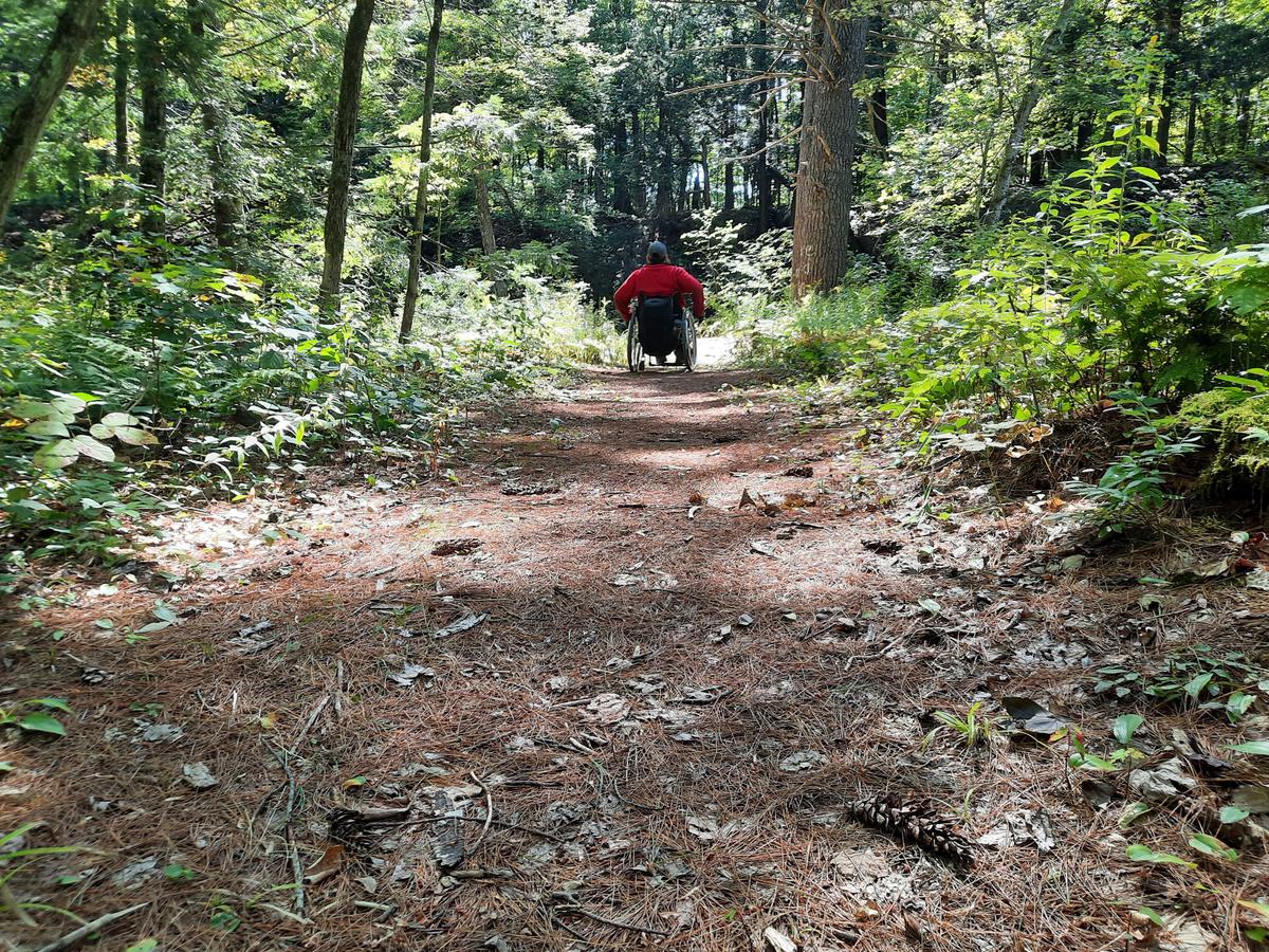
The path starts out with a short steep descent into the woods.
It was a bit difficult getting down this incline. I basically had to do a wheelie and wing it not knowing what the surface was like due to tall grass. It ended up being fine with no issues.
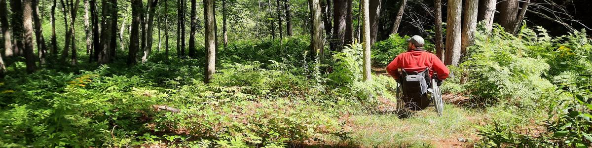
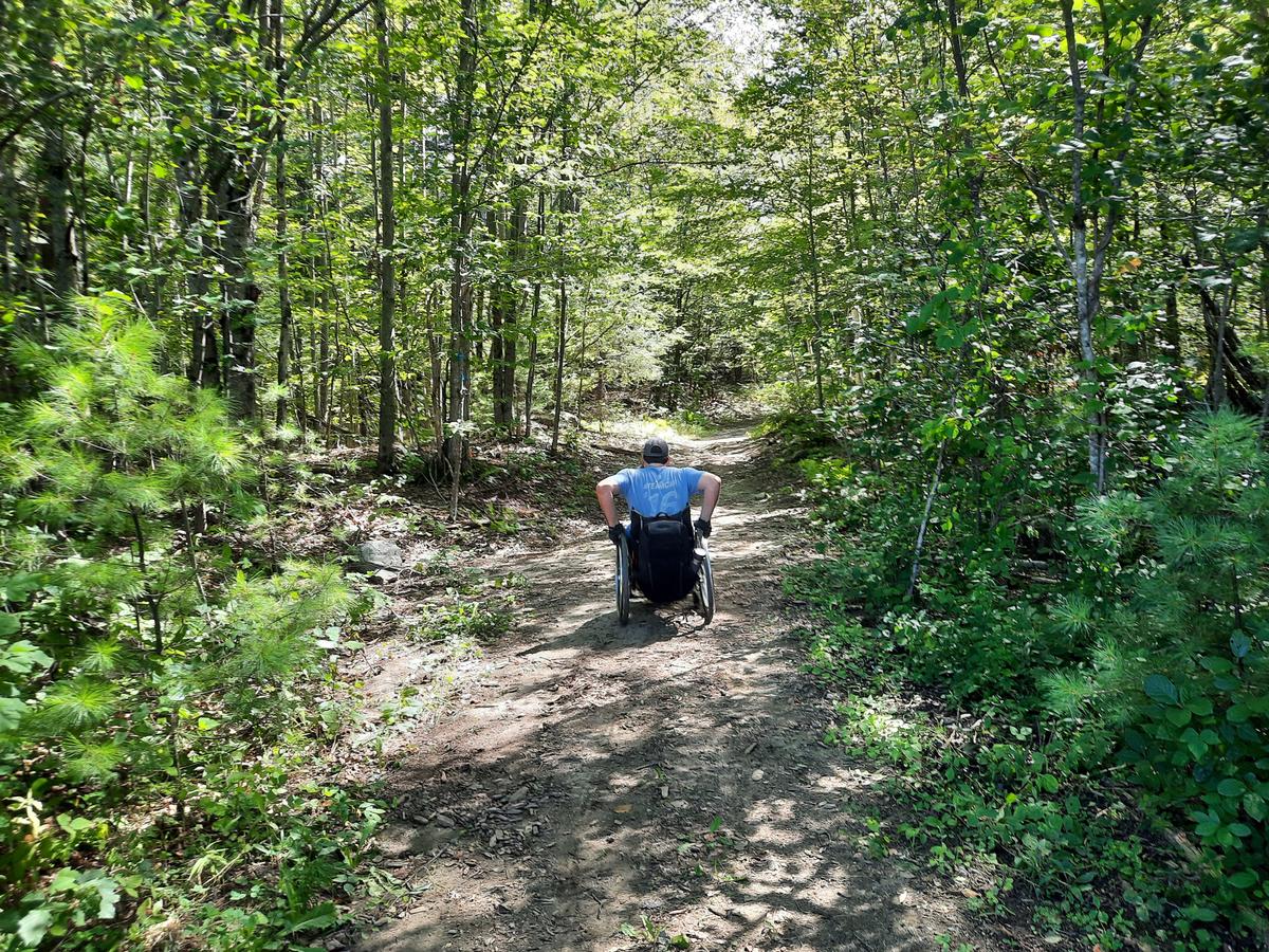
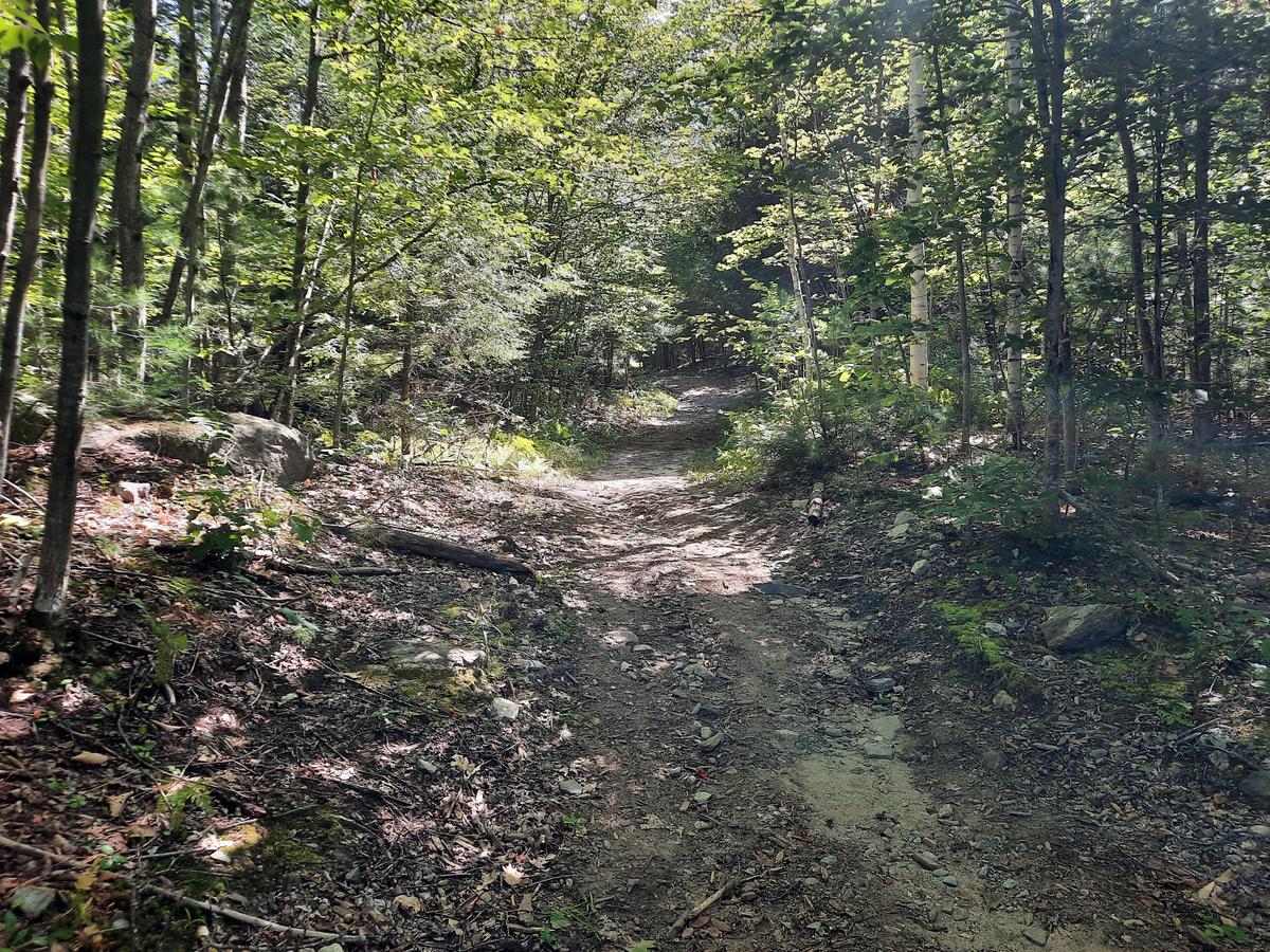
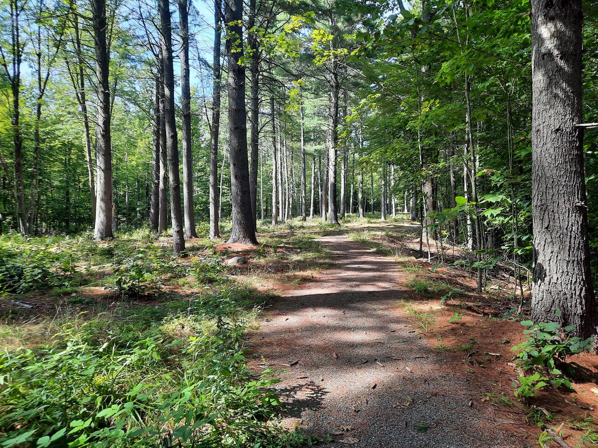
After entering the woods the description is exactly right. It is a really wide firm path. There are roots since it is a natural forest floor, but I didn’t find the roots difficult to pass over.
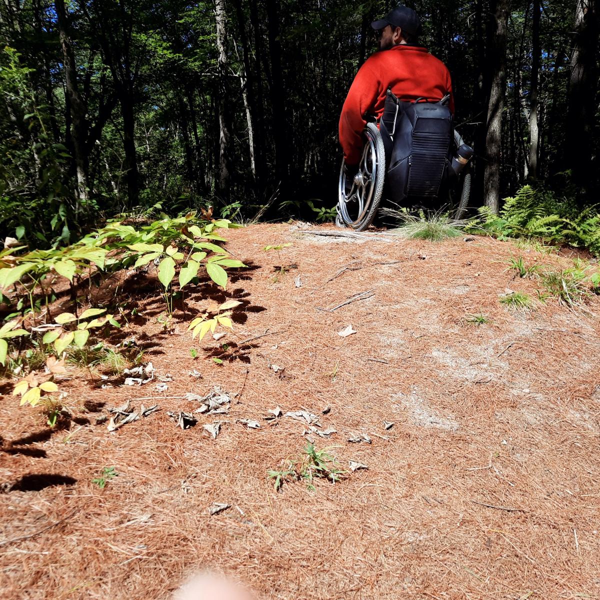
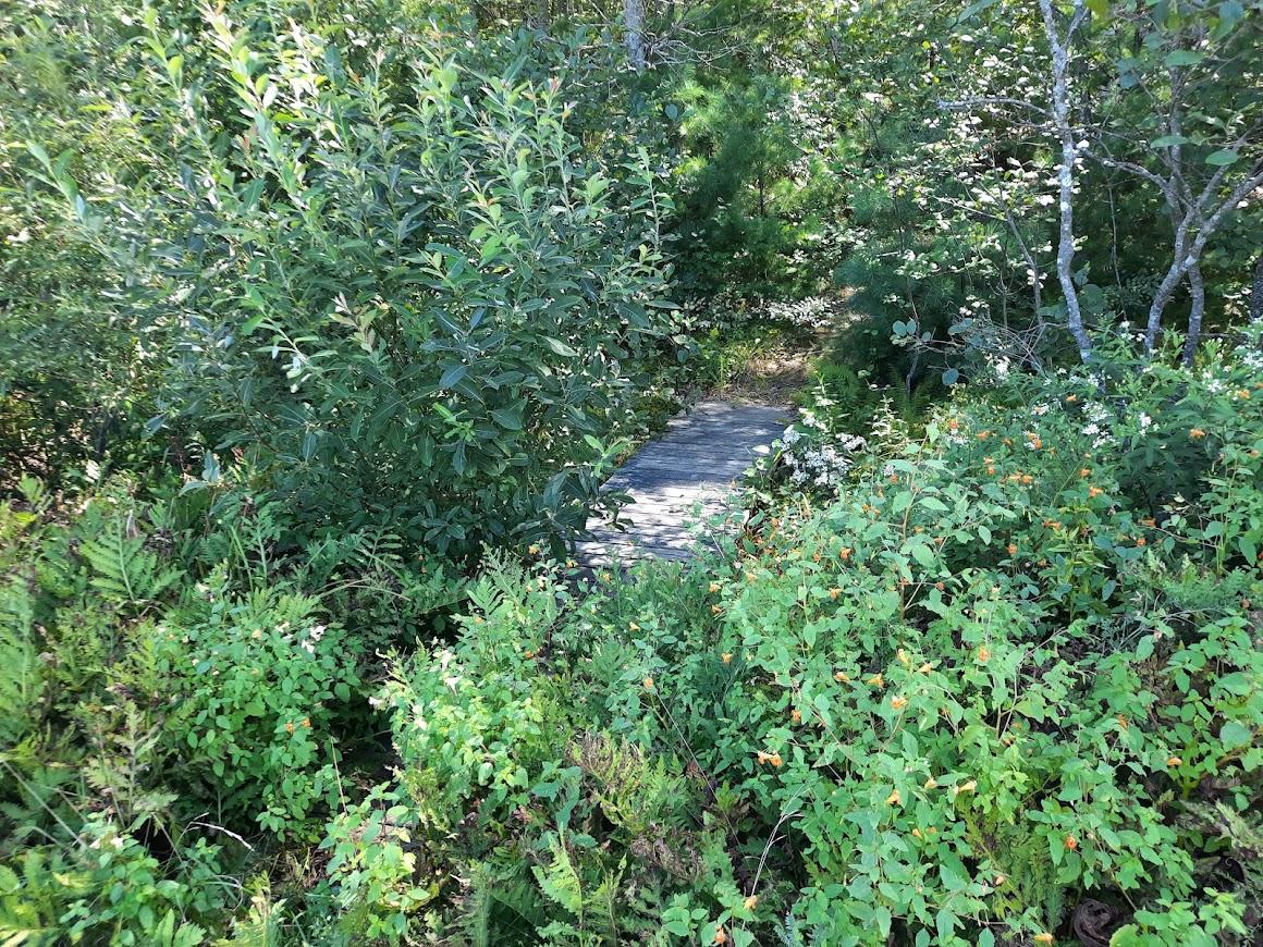
Because this trail runs along the banks of a stream, it is mostly flat. This is why I love trails near rivers and bodies of water. There was one spot that I needed help with. There is a dip in the surface that leads up to a very short steep hill. This picture actually shows it quite well. We usually have a hard time showing the severity of an incline.
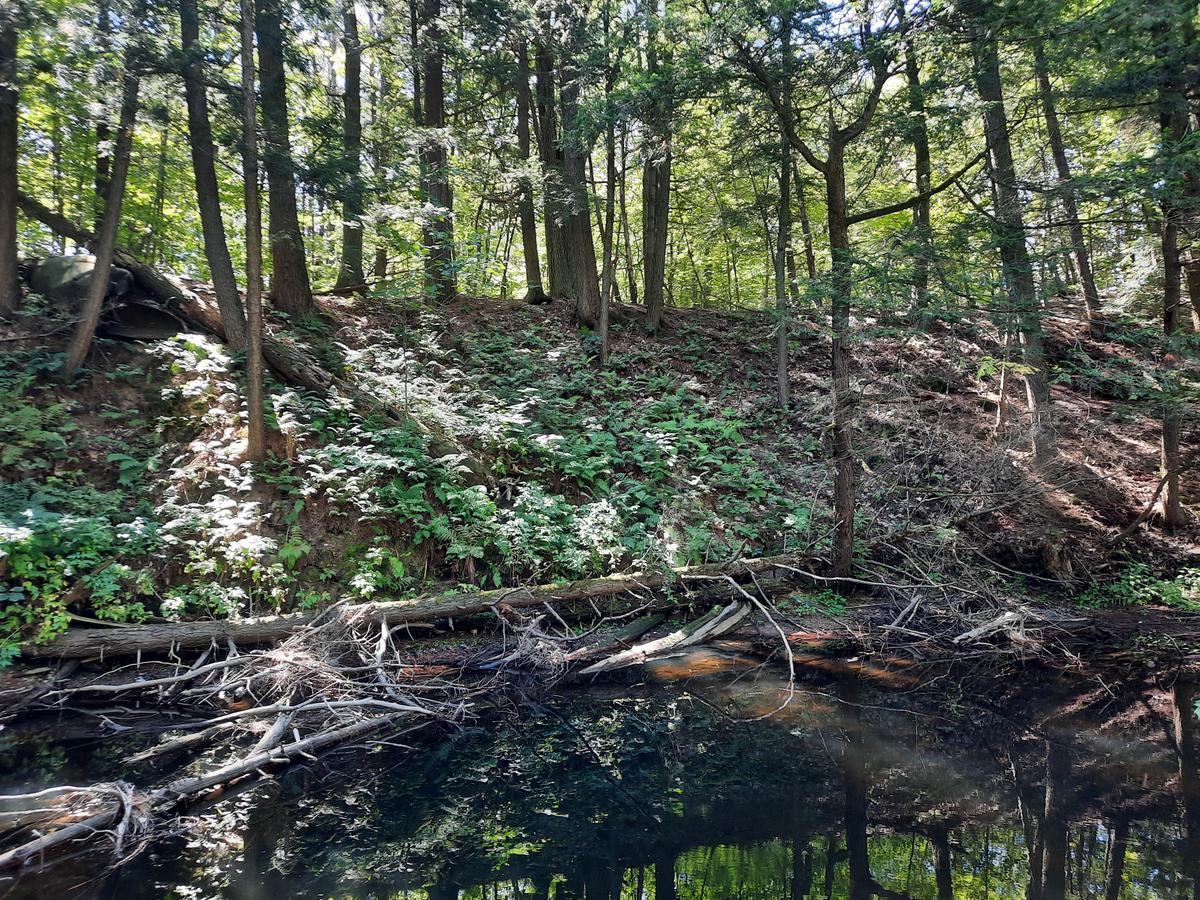
The views along Martin Stream are quite stunning.
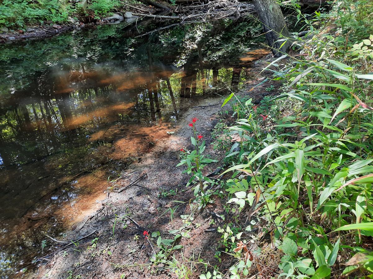
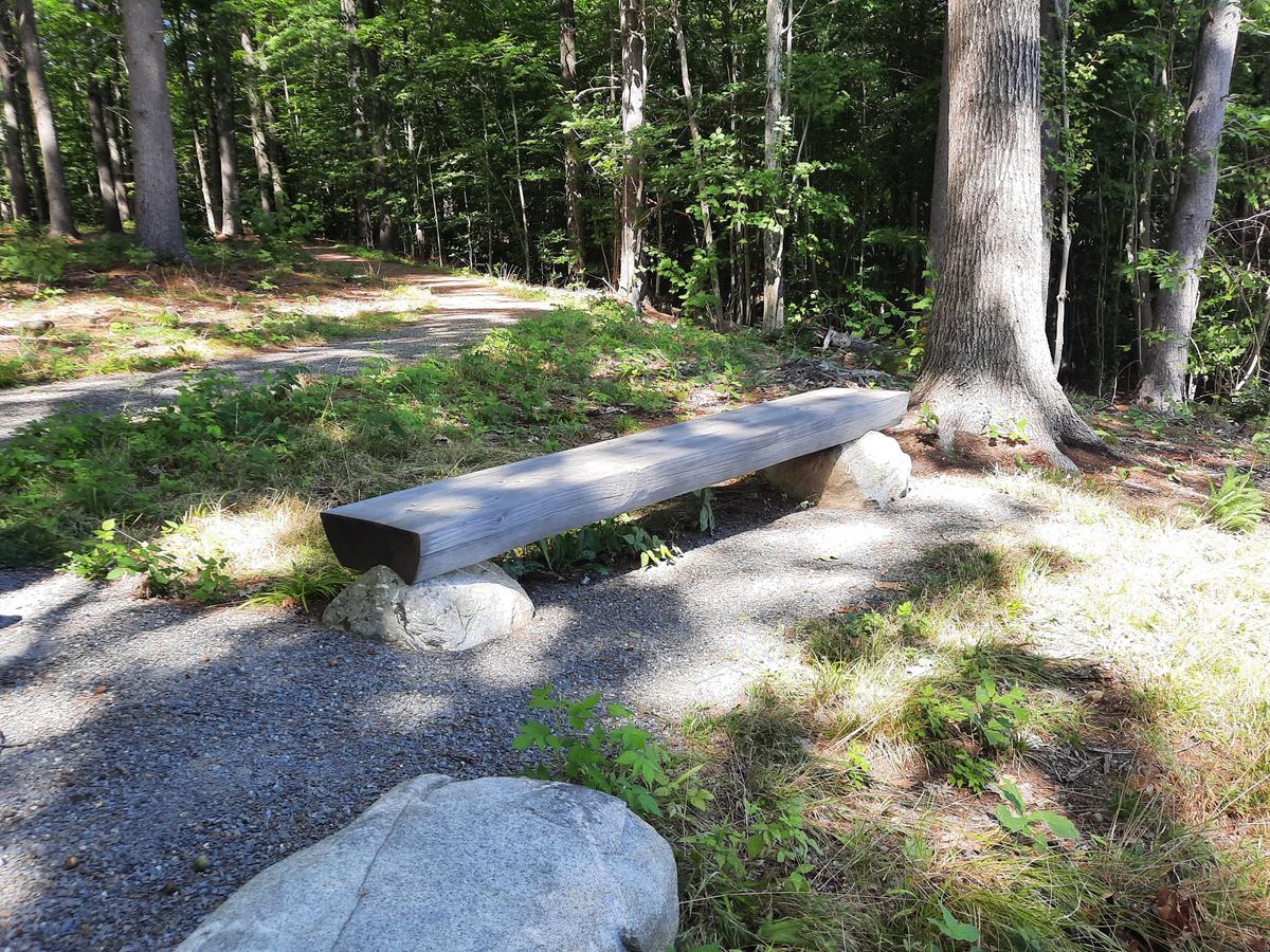
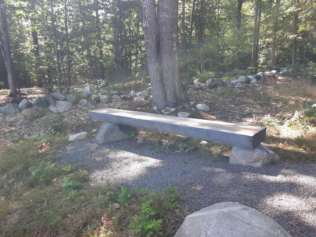
Near the turn around spot there is a perfect area to have a picnic by the water. I would highly recommend checking this place out if you are looking for a quick easy hike to get to a stunning spot. I am rating this one Moderate because of the steep incline to get in and out of the trail and the incline in the middle. I definitely needed help on this one otherwise I would have had to crawl to get back to the road.
My next stop for the day was Jay Recreation Area Trail System. I chose this one based on a couple pictures and the description on MTF. The pictures show a dog on a boardwalk and what looked to be a well built possibly accessible trail.
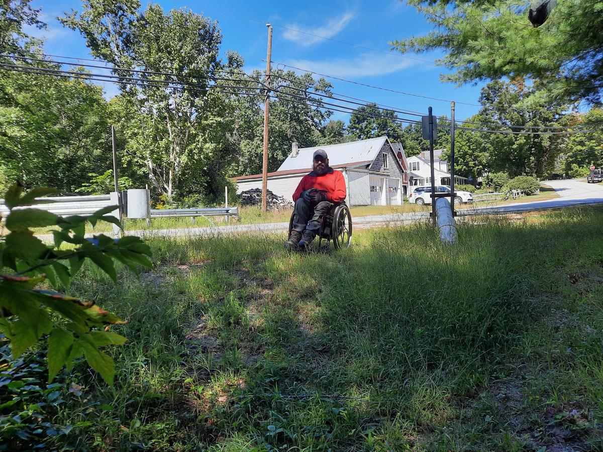
I arrived to find ample parking as the trail system is right behind the school.
The trails start off of the athletic fields and track. In order to get to the track there is a quite steep paved hill. I found it pretty easy to get down but it may be difficult if you have trouble doing a wheelie or holding back the chair from going fast.
The track is completely paved if you just wanted a place to get some exercise this would be a great option. Beyond the track there wasn’t much access to the trails. I think those pictures I saw on MTF might be quite old. It took me a long time to find the boardwalk as it was overgrown.
I then pushed over to the ball field to try to find the other trail and I did locate it. It looked promising from the start but not too far in it became apparent that I wasn't going to be doing that one either.
I decided after striking out twice I would move on to the next trail location. I would recommend this spot for the paved track but the trails just aren’t doable in a wheelchair.
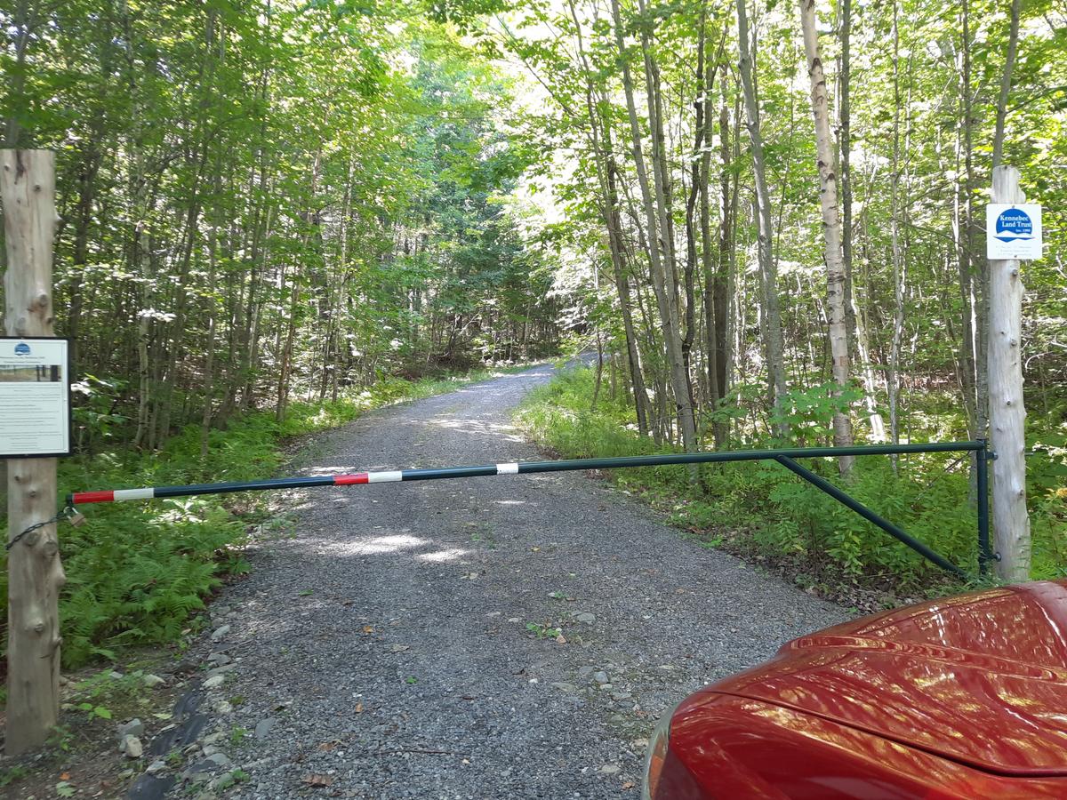
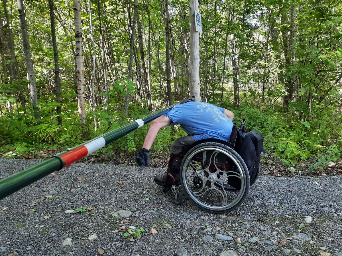
The final destination was the epitome of saving the best for last. I visited the Baldwin Hill Conservation Area. I made one mistake with this one. I didn’t read the fine print or in this case the whole description on MTF. The MTF page says you need to contact the cemetery for access to the upper parking area and I missed that. The gate is at the bottom of a 0.3 mile long hill with a 7 percent grade. The gate was installed to prevent vandalism and had I contacted the right people I could have had a lot easier access. Live and learn as they say.
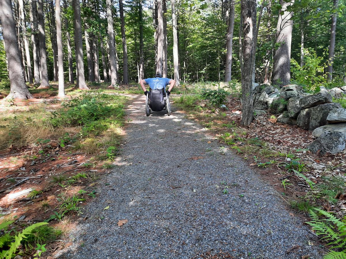
Beyond that mistake this is a really beautiful place. There is actually a natural burial cemetery at the top of the hill around which the accessible trail meanders.
As you get close to the beginning of the accessible trail there is a space for 2 vehicles to park. This is where I could have parked had I contact the folks at the cemetery.
This is without a doubt one of the most beautiful views from an accessible trail I have seen so far.
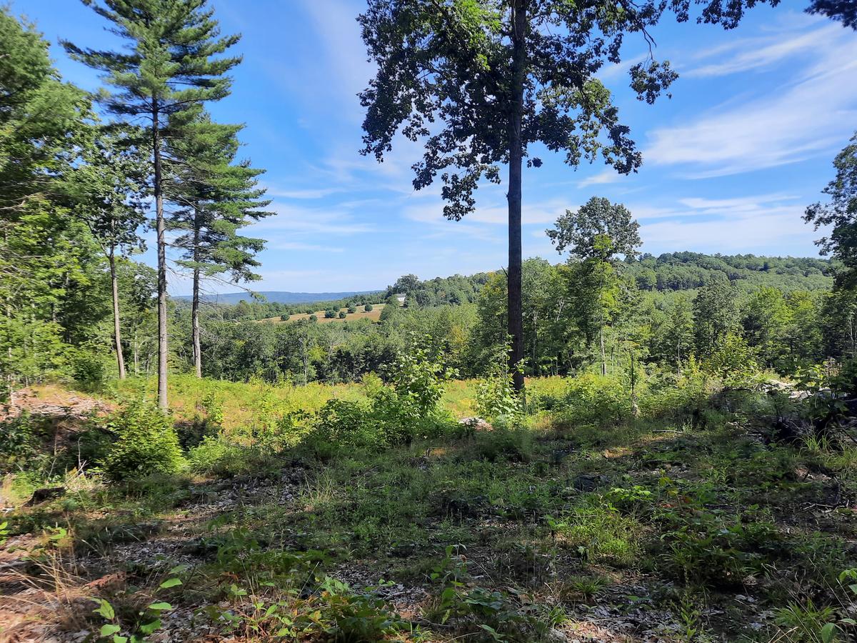
The trail is really well done and is definitely accessible.
After I came home from this trip I thought about the fact it was odd to have an accessible trail behind a gate at the top of a hill. I decided to reach out to my friends at Kennebec Land Trust to find out the reasoning behind it. They had a great explanation:
Unfortunately, we had to balance the objectives of the burial ground with the accessibility of the public on this property. The trail was built primarily to serve the needs of the family members of those who are buried in the cemetery and other visitors.
The location of the conservation cemetery on top of the hill was uniquely suited to burying bodies without embalming fluid or a cement vault. The quietness away from the noise and visual distraction of a nearby road was also desired, thus the long access road up the hill.
We have more details on the selection of the site on the Baldwin Hill Cemetery website.
The gate was installed to minimize vandalism in the remote location of the cemetery. The gate has a combination lock so anyone can access the trails once they have contacted KLT for the combination. We understand this is not a perfect solution so any suggestions on how we could improve the access would be most appreciated.
In the end it totally made sense. There is always a need to balance the goals of the property, the safety of the visitors, and the protection of the resources.
I would highly recommend checking this trail out with proper permission to gain access. It will be a lot more enjoyable and easier to get to than I made it for myself - haha.
There are still a bunch of trails in this area I want to check out. I only have so much time in a day so I had to pick and choose. I hope this helps next time you venture out to the Jay area. Until next time, keep hiking!
This year I am hoping to get some group or one on one hikes together. I would love to interview other people with disabilities about their experiences in the outdoors. The more perspectives we can get the better the information will be and the more progress we can make.
If you have a different type of mobility issue or a different disability and you visit this trail or others, please comment on this post and give us your feedback. The more knowledge we gather and share, the more people we can get outside using the trails of Maine!
Success! A new password has been emailed to you.