This is a guest post written by Enock Glidden, MTF Accessibility Ambassador, Public Speaker, Adaptive Athlete, and Adventurer. To learn more about Enock, please visit his website.
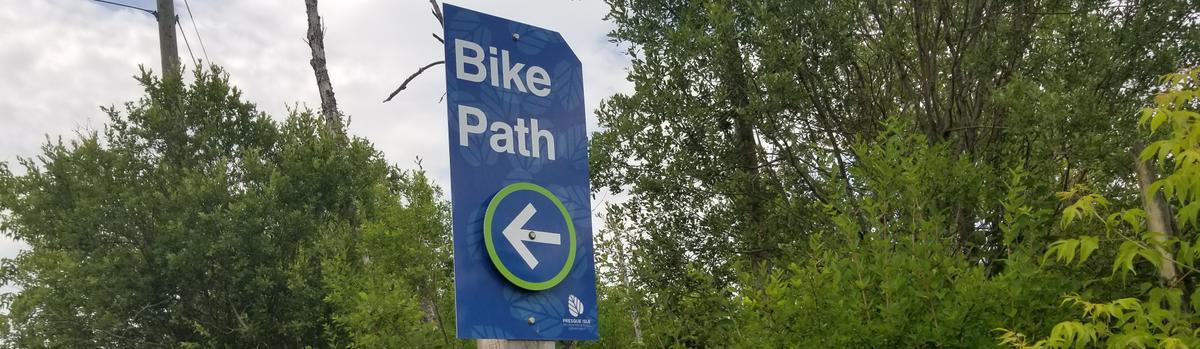
Hey fellow hikers! My next stop on the Northern Maine Tour was the Presque Isle Bike Path. You may be wondering why I would do a paved path in the middle of a city. Well for those of us who use power chairs, walkers, or just have trouble walking, a paved path is ideal. I also chose this one based on the description at MTF which isn’t quite accurate as you will see.
“The Presque Isle Bike Path is a 5-mile walkway running through the city of Presque Isle. The path is paved and has very little slope, making it optimal for light walking, jogging, and biking. The path is plowed in the winter by the Presque Isle Parks and Recreation Department, so it is accessible year-round.”
That line about very little slope might need updating [Ed. note: It has been updated.]. I knew this already because I have been to Mantle Lake Park. My mom grew up in Presque Isle. I have been there many times to visit my grandparents and relatives. There really isn’t a way to get to Mantle Lake without going uphill.
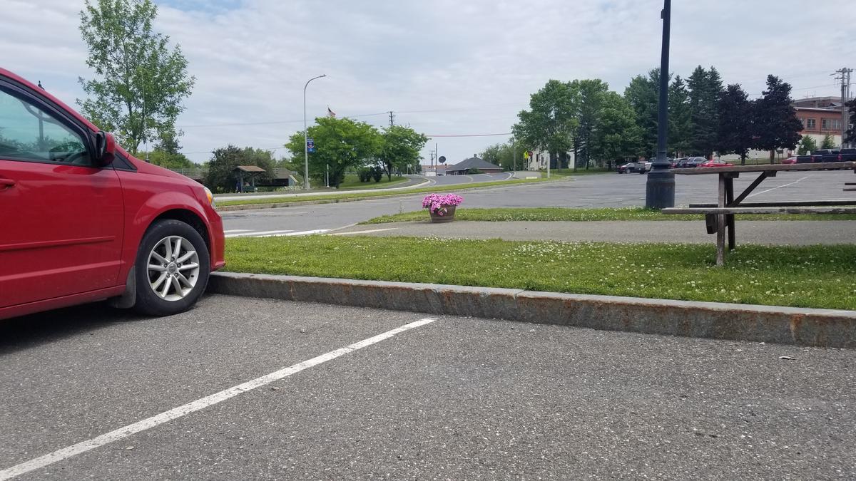
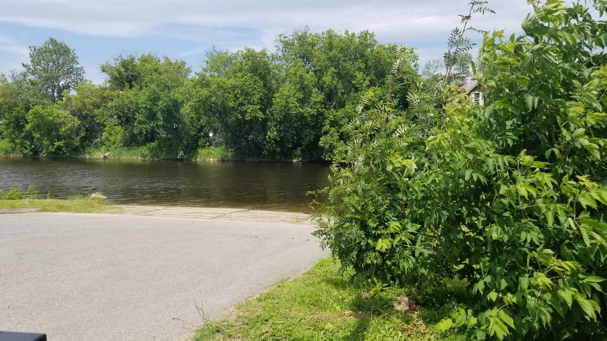
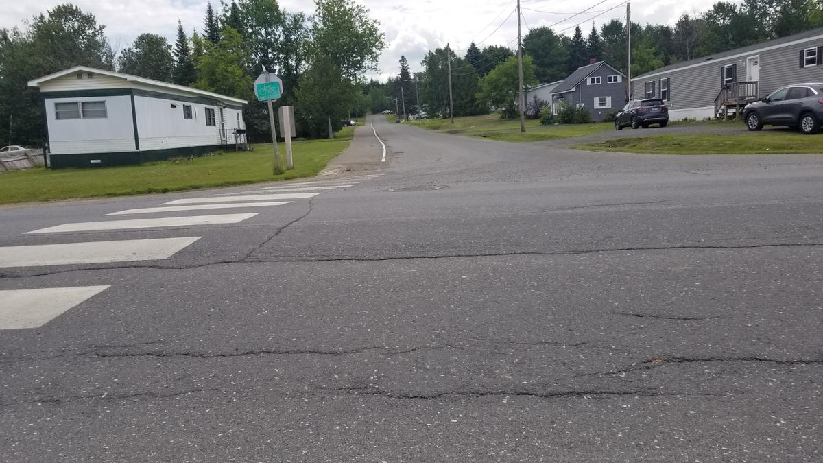
I parked at the pavilion by the court house. There was ample room. The view of the Presque Isle Stream is stunning from the very start.
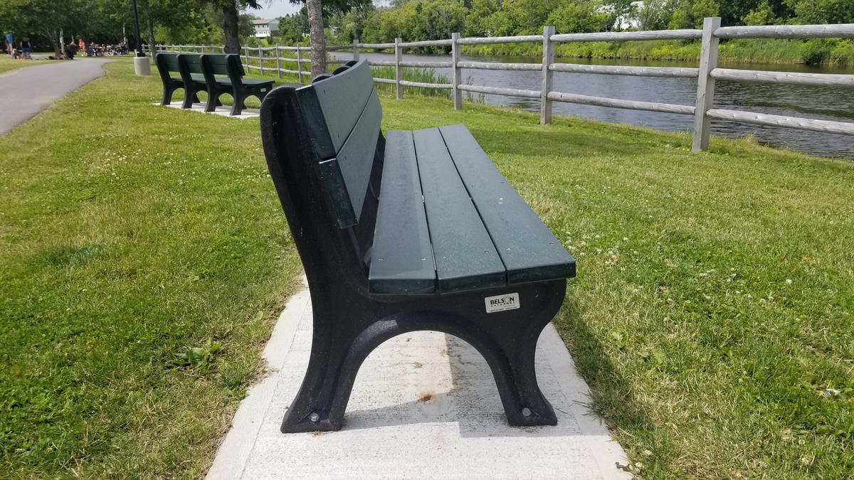
There are lots of benches and places to picnic in the park. As well as seagulls!?
Not too far past the park is an amazing water park. I happened to run into someone I knew who was there with some summer school kids. She commented that she wished they had something like that closer to Houlton. It is definitely a major asset for the community.
After the water park the trail leads past a baseball field into the woods.
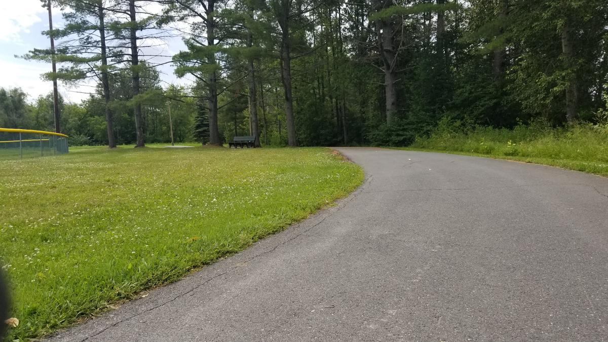
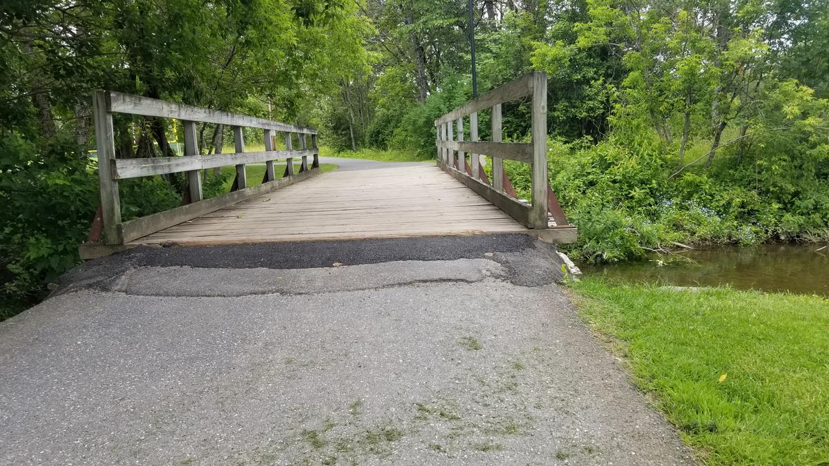
There are more benches through this section to rest and enjoy the view. The stream crosses the path just before the field. There is a bridge over the water. The entry to the bridge has a slight incline to it and isn't very smooth. I could see someone getting tripped up by it. The view from the bridge is beautiful.
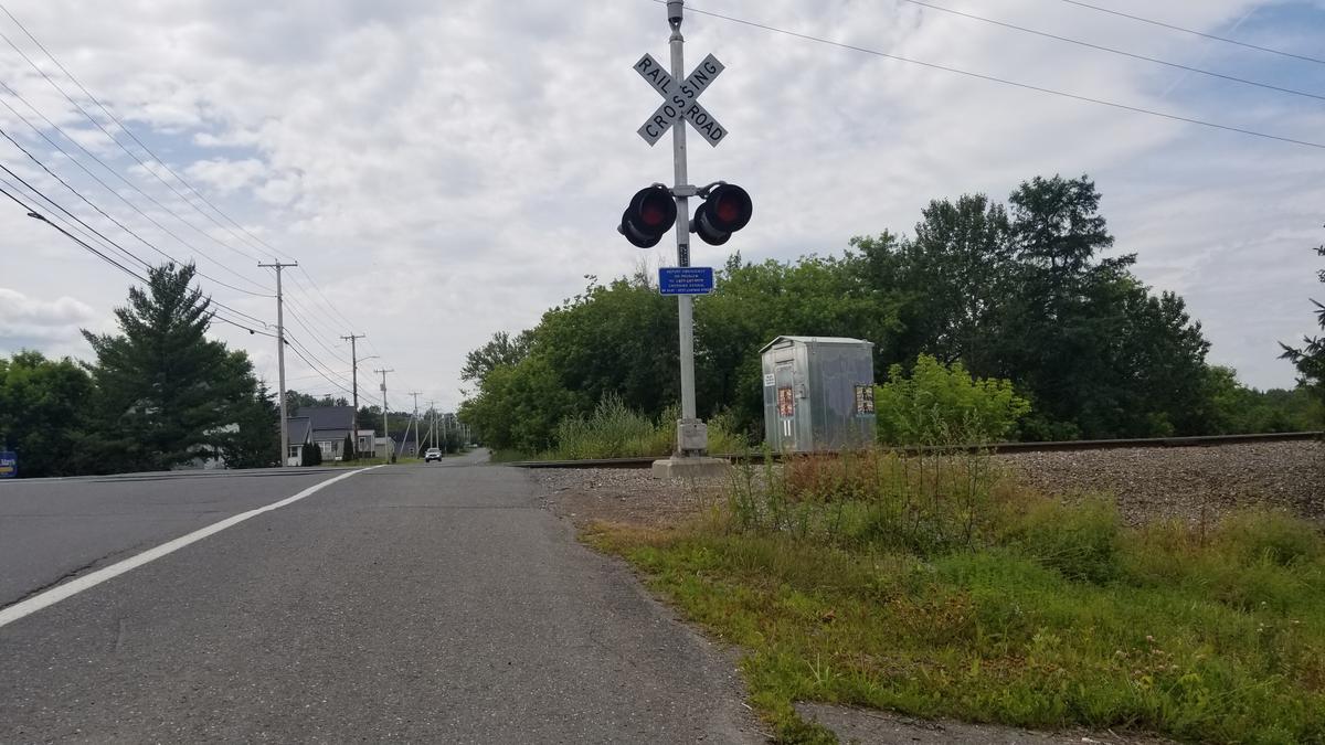
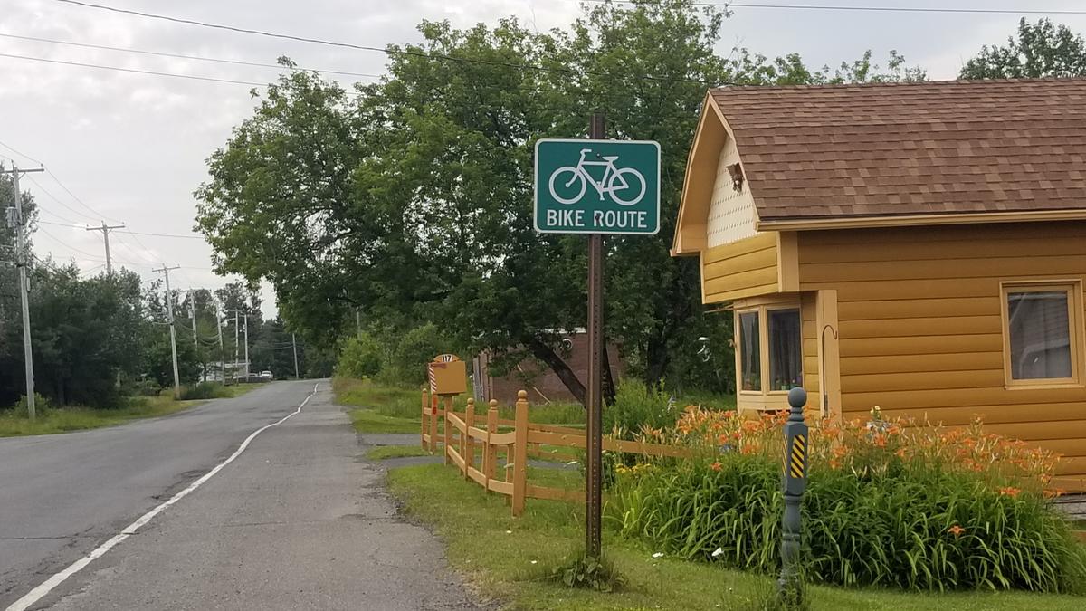
The path winds its way along until coming to Chapman Rd. It follows the side of the road which has been marked as a path. After the path crosses a set of railroad tracks there eventually is a road crossing.
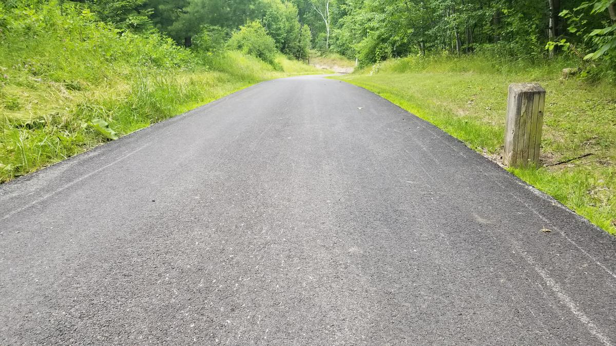
After crossing the road onto St. John Street the path starts a very long and gradual uphill.
You eventually come to another set of railroad tracks from which you can see all the way back into Presque Isle. It is actually a really awesome view.
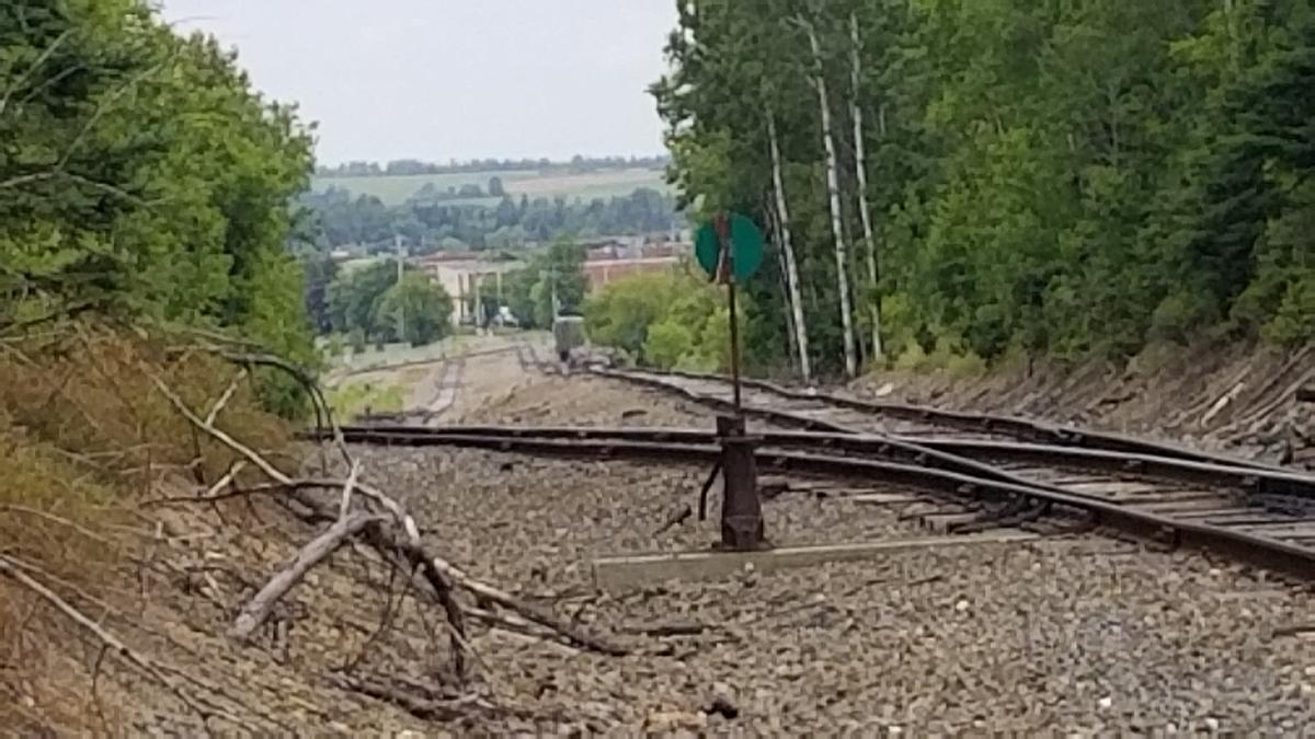
This is where I started to question the accessibility of this trail. The hill after the tracks feels quite steep and is very long. It leads to the University of Maine Campus. According to the app that I use to check slope this is only a 4 percent grade. I am not sure how accurate the app is but it at least gives an idea of what to expect.
It was getting quite hot at this point of the day and according to my app I had gone over 2 miles one way. I decided to turn around at the end of the hill where it meets a campus road. I also wasn't sure which way the path went. It wasn't marked.
This is definitely an accessible path. However, I would caution that there are some very long inclines that may make it difficult for some people. There are also no resting spots after the baseball field area. Technically that means it does not meet accessibility standards. The surface and slope of the path itself is accessible. You can get a good two mile walk (and avoid the long hills) in if you turn around at the road crossing before St John Street.
Next up is a trip to Fort Kent!
This year I am hoping to get some group or one on one hikes together. I would love to interview other people with disabilities about their experiences in the outdoors. The more perspectives we can get the better the information will be and the more progress we can make.
If you have a different type of mobility issue or a different disability and you visit this trail or others, please comment on this post and give us your feedback. The more knowledge we gather and share, the more people we can get outside using the trails of Maine!
Success! A new password has been emailed to you.