Maine Trail Finder isn’t just a great tool to help you plan your next Maine adventure. With a free user account, you can log which trails you’ve completed, upload photos, and track your mileage, creating a digital history of your trips. In this blog series Faces of Maine Trail Finder, we’re sharing the stories of people who have been using Maine Trail Finder in standout ways – logging hundreds of trails, submitting anecdotes from their adventures, and uploading stunning photographs of their trips. We hope their stories inspire you to get out and explore Maine with the help of Maine Trail Finder!

Name: |
Charlie Franklin |
Where you live: |
Auburn, Maine |
FAVORITE TRAILS: |
Hiking with my dog. I do some biking, but it's harder to take a dog. Sometimes I do some paddling, I've got a kayak. I also like to take really long drives up through the North Maine Woods. My family is in northern Maine near Presque Isle, so I do a lot of stuff out there, too.
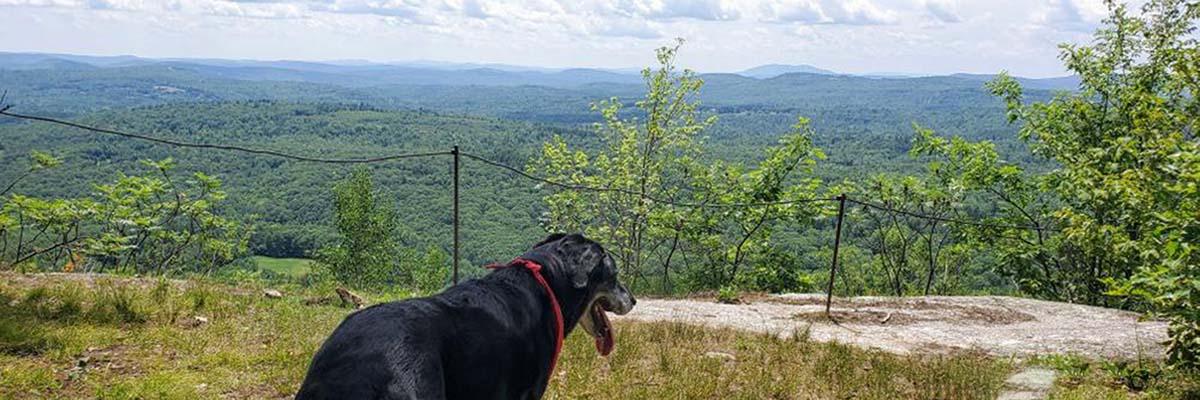
I found that having the dogs, and having a dog that likes to go hiking, gets me out there a lot. But getting out of the city, and away from all the cars and the buildings, is a really important part of my being able to hold it together from day-to-day.
Recently, I got a new dog. The dog that I probably have the most pictures of on Maine Trail Finder was named Diego. I lost him about two years ago to cancer, and it took me a long time to get to a point where I was ready for a new dog. Now I'm ready for a lot more hiking with my new dog.

I've been hiking pretty much my whole life. I think it was about 2014 that I started using Maine Trail Finder, and I found how many trails there were not only in my area, but within a 1-2 hour radius from my house. Since then, I've just been going on them constantly. I've definitely passed the 200 mark on the number of trails that I've kept track of just on Maine Trail Finder.
I like to hike in the Lakes Region and the Western Foothills. Oxford County out towards the White Mountains is definitely my favorite. And anything that's around a lake or near a river.
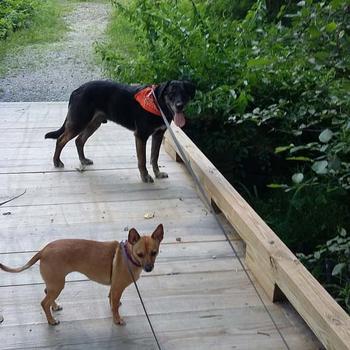
When I first started looking for trails on Maine Trail Finder, I was having trouble figuring out, "Have I been on this one or not?" So I made sure that every time I went on a trail, I posted a picture of my dog on the trail page so that when I was going through the trails later, if there was a picture of one of my dogs posted, I knew I'd already been on that trail.
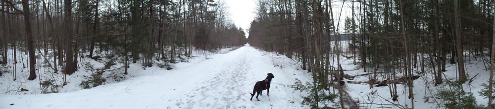
I like to find trails that are not usually rated advanced because those are too hard for my dog or whoever I'm hiking with. I use the maps a lot. I like the feature on it where it says whether pets are allowed or not. User comments are also really helpful, like if something has been washed out or temporarily closed, somebody usually will post that on there. That's useful information to have before I drive 2 hours. I can easily find out if the trail is even going to be usable from home.
I also really like having the trail maps linked to GPS so I can see where I am on the trail. That has kept me from getting lost many times. Since it's GPS, even if I don't have service on my phone, as long as I've opened up the map before I lose the service on my cell phone, it'll still keep up with me because of the GPS tags. That's really useful when I get farther out.
I like to use the feature on Maine Trail Finder that lets me find trails that are near me. You can just put in where you are and what kind of a radius you want to look at trails within. Then, just start looking at the pictures and check out anything that looks nice! All the information that you need to get there, the trail maps, the directions to it right in Google Maps, it's all there. You can find out everything you need to know about the trails right on Maine Trail Finder.
Want to start a digital log of your Maine adventures?
Create a free Maine Trail Finder account and start logging trails today!
Success! A new password has been emailed to you.