Bethel Pathway

The Bethel Pathway connects several public facilities, including the skate park, playground, picnic area, and a boat launch site on the Androscoggin River Trail. It also accesses several related businesses.
Trail Activity
Accessible Adventure Snowshoeing Mountain-biking Cross-country-skiing Walking
Length
1.70 miles, One Way
Difficulty
Easy
Town
Bethel
Surface
Pavement, Gravel/Crushed Stone, Grass, Snow - Groomed
Pets
Permitted
Fees
No

Description

The Bethel Pathway has two distinct sections.

Directions are given from Davis Park going west, and from Davis Park going east. Of course, it is possible to start from any of the trailheads or even from several places in the village. The Pathway is easy to follow and is close to roads, homes, and businesses..

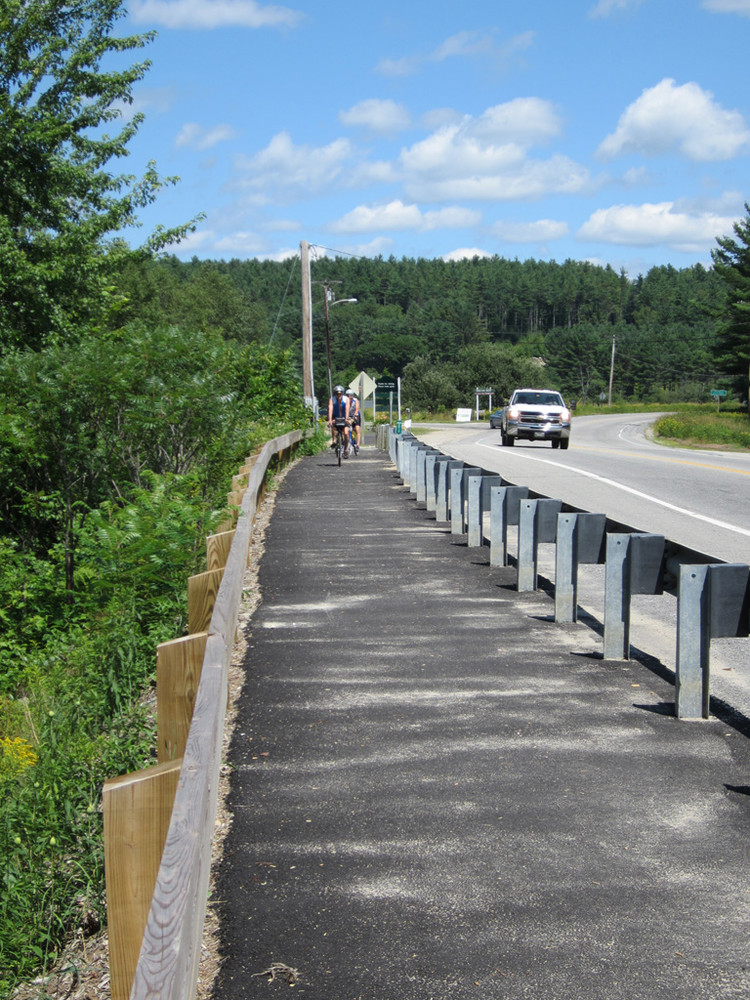
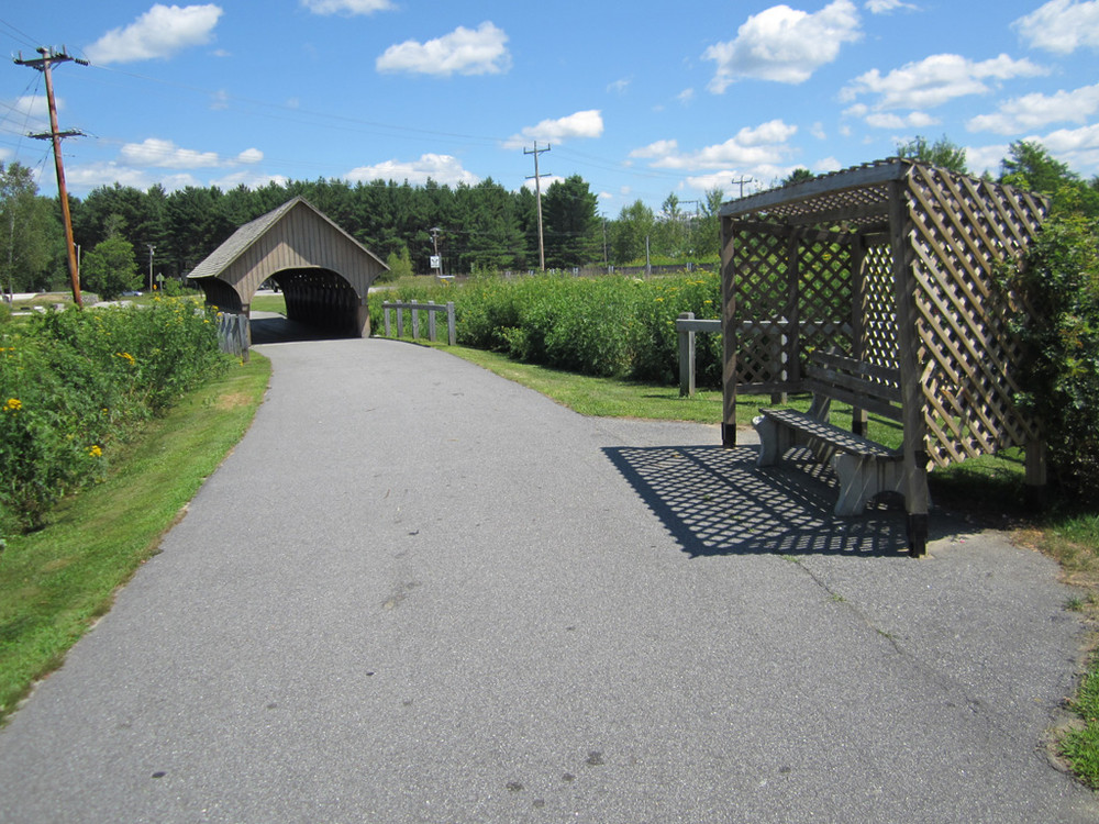
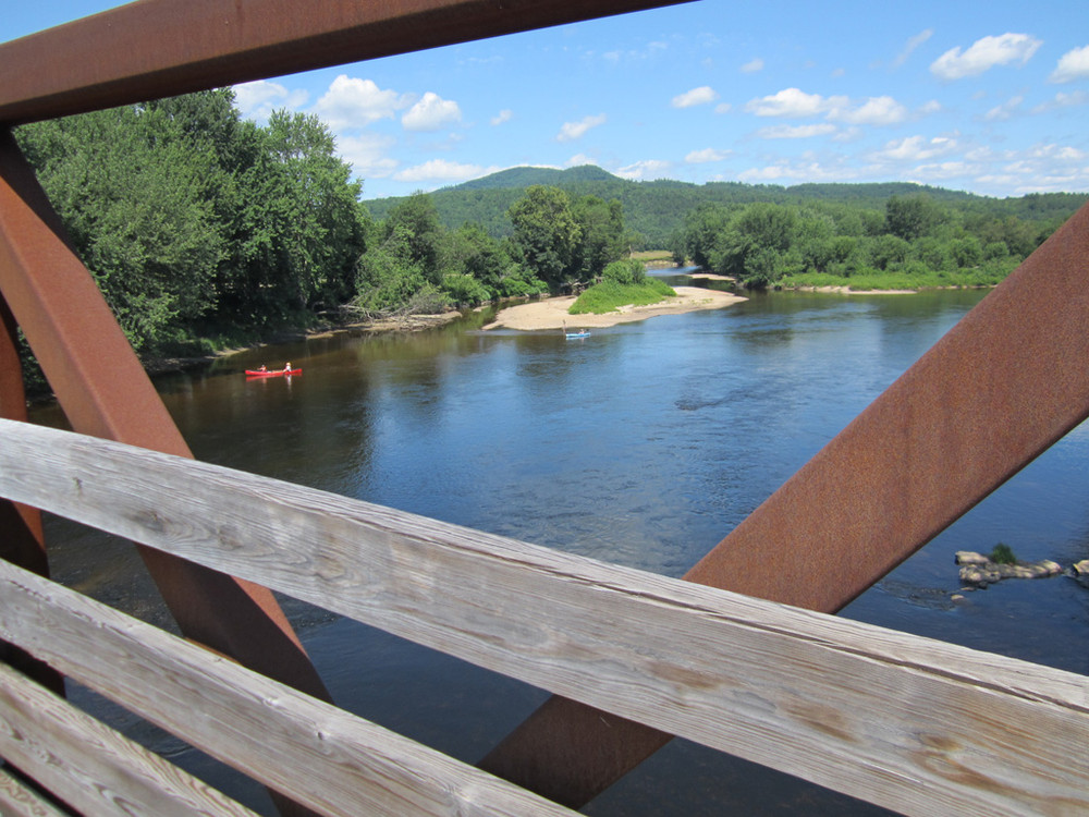
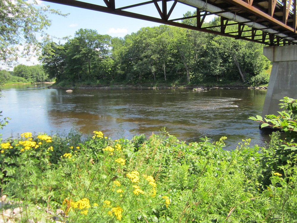
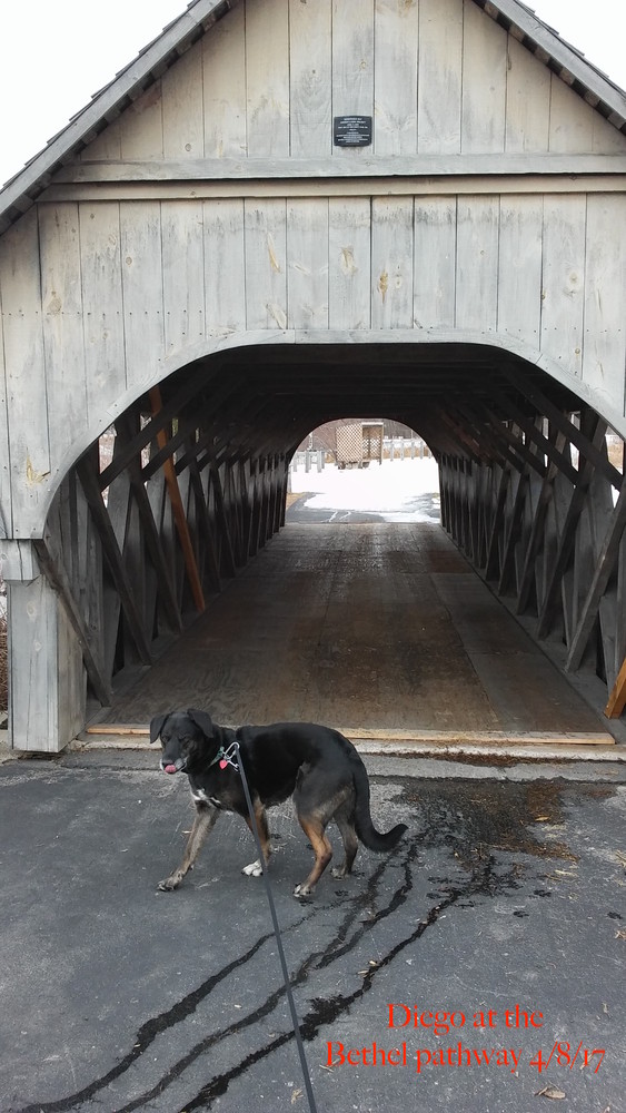
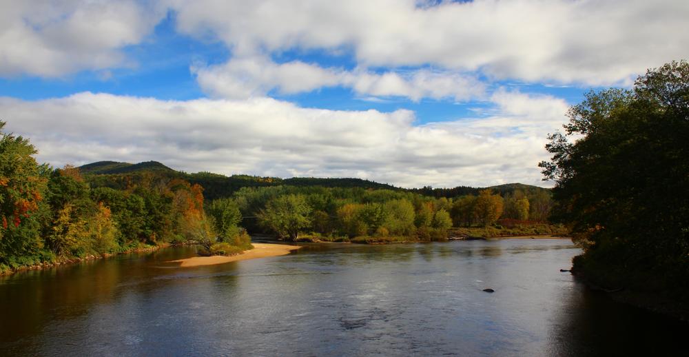
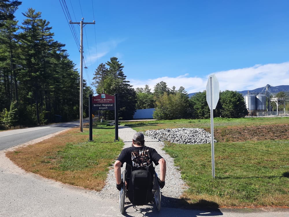
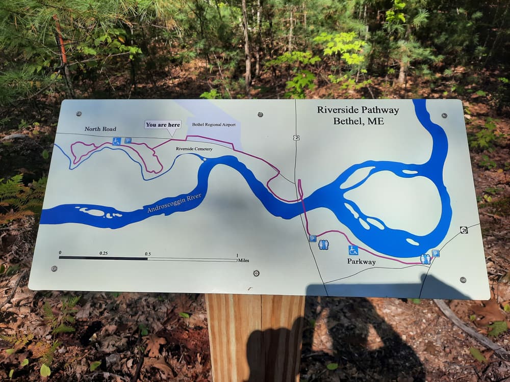
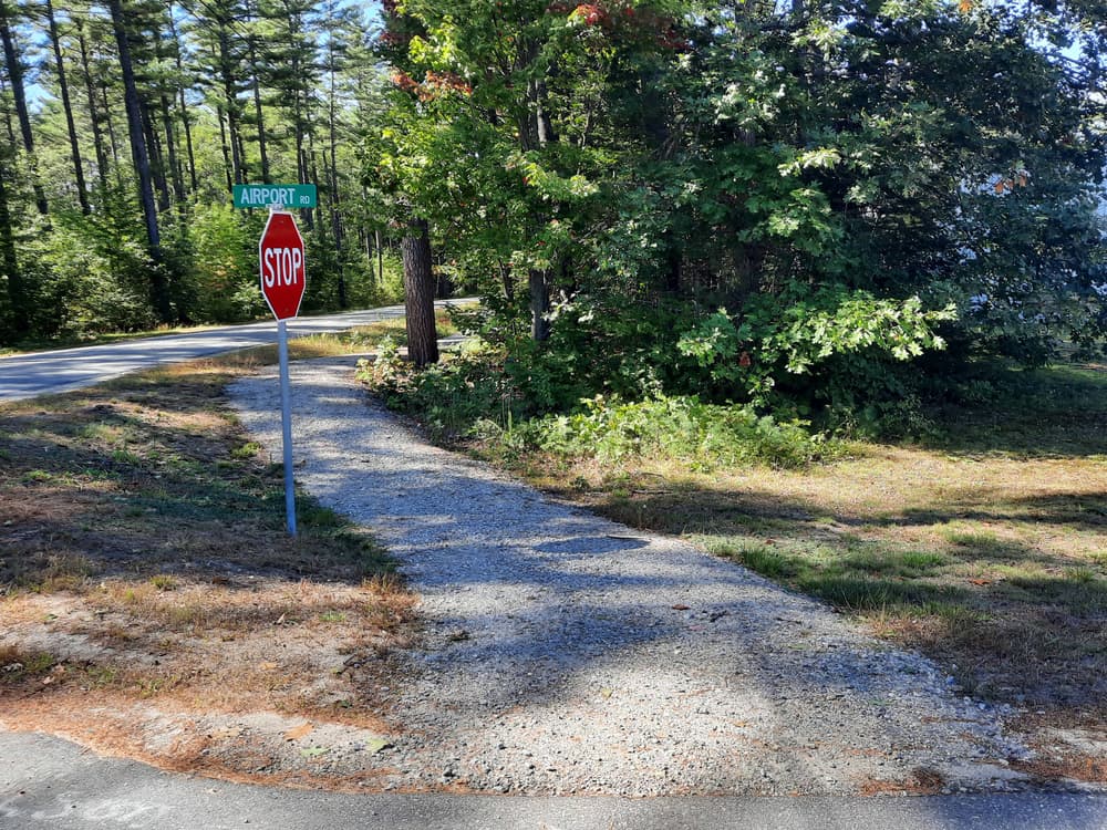
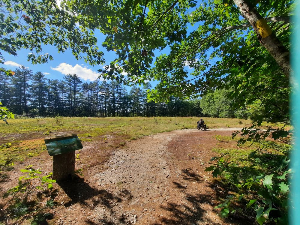
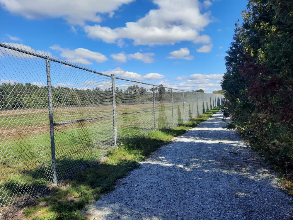
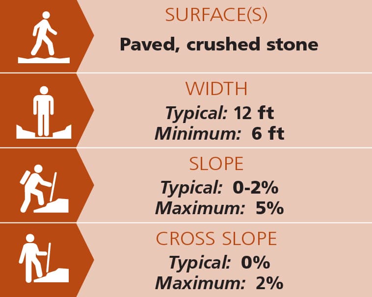
The first section, going from Davis Park to the west, goes past the skate park, over a miniature covered bridge, and out to US Route 2 where there is another parking lot. The pathway then goes over the impressive single span bridge over the Androscoggin, loops back on itself, and continues along the other shore of the river, past the parking lot and water slide of the Big Adventure Center. It currently ends soon after, on the North Road. This very popular section of the Pathway is 0.9 miles in one direction. With its flat, paved surface of about twelve feet wide, this section is wheelchair-accessible and suitable for strollers and anyone with mobility challenges as well. Several benches provide places to rest along the way.

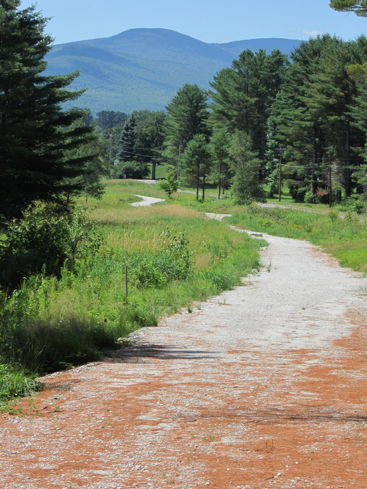
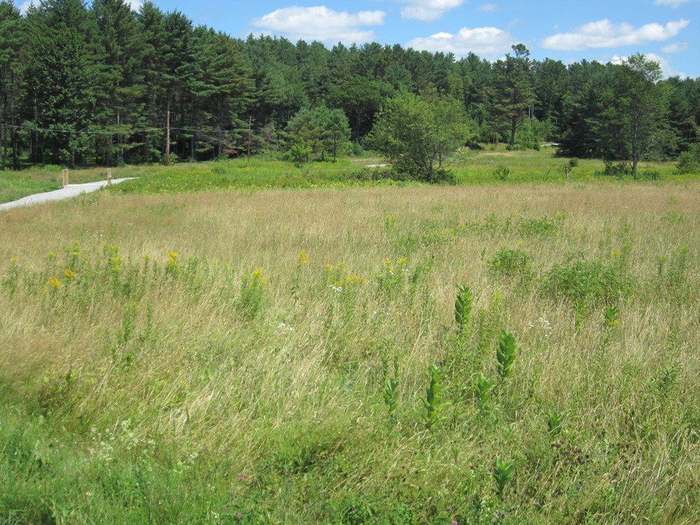
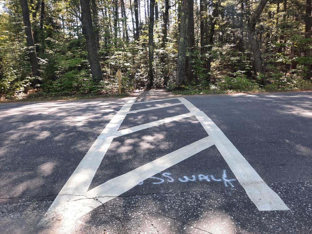
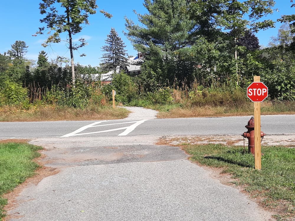
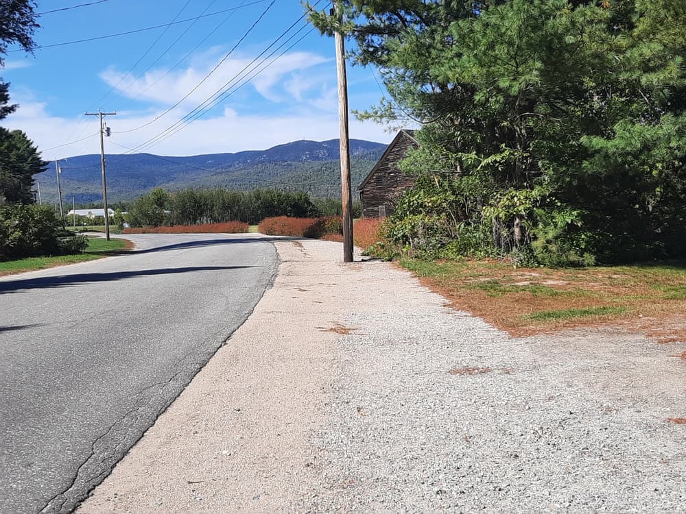
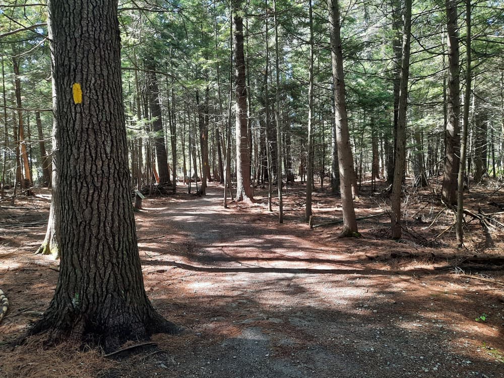
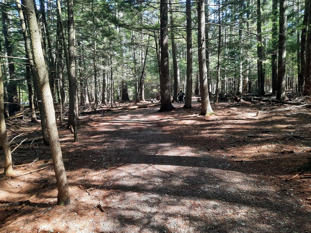
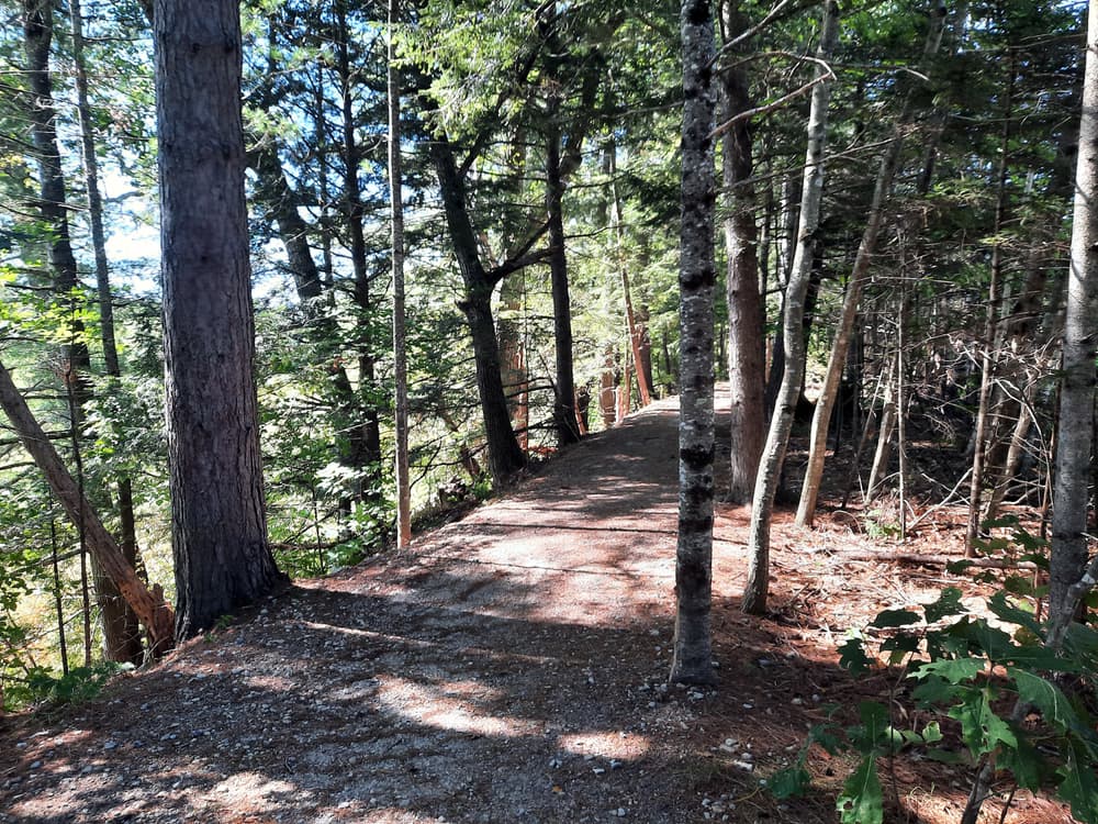
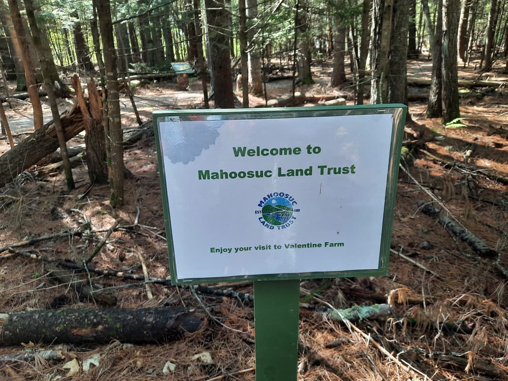
The second section leaves from Davis Park and goes east, over Alder Stream and then crosses the Intervale Road. From here the path surface changes to crushed stone, but is still very hard and smooth, and continues across the Mahoosuc Land Trust's Gateway property to the upper end of Sunset Road, where there is parking on the shoulder of the road.
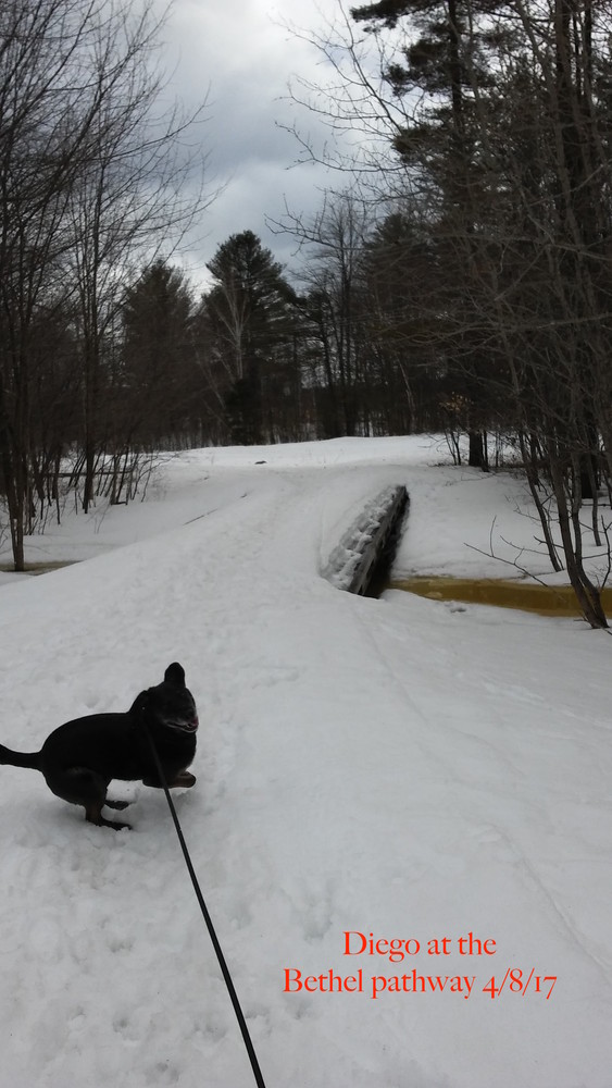
To read about Enock's experience using a wheelchair on these trails in MTF Stories, click here

Other Information

The Bethel Pathway was initially a project of the town, the Mahoosuc Land Trust and many generous landowners and volunteers.

General information about the Bethel area and more information about other local trails and area attractions can be found at the Bethel Area Chamber of Commerce website.

Please keep all pets leashed and clean up after them.

Trail Manager

Visit the Town of Bethel for more information or contact:

Town of Bethel

Town of Bethel
PO Box 1660
9 Main Street
Bethel, ME 04217-1660
Phone: (207) 824-2669
recreation@bethelmaine.org
View website

Nearby Events

VIEW EVENTS CALENDAR

Trail Tips

Minimize Campfire Impacts
Use only small pieces of dead and down wood for campfires and let them burn down to ash. Please extinguish your campfire before leaving.
Legend
Hide All

Trailhead Information

The main trailhead and parking lot is at the Davis Park picnic area on ME-26 on the east edge of Bethel Village, on the south bank of the Androscoggin River. There are no specifically ADA designated parking spaces at this location, but the parking lot is paved and on an even grade with the trail. There is a rock at the path entrance to keep out vehicles, with about a five-foot opening between the rock in middle the path and a metal post at edge.

There are five other trailheads and parking lots as well:

  1. BIG Adventure Center (Business), 12 North Road: Turn off US-2/ME-26/5 (Mayville Road), onto the North Road, just north of the bridge over the Androscoggin River. Park at the lower end of the lot, close to the river.
  2. Bethel Outdoor Adventure, 121 Mayville Road (US-2/ME-26/5), just north of the bridge over the Androscoggin River. Please check- in at the office before leaving your car.
  3. At the Pathway sign, next to the Dunkin Donuts/Shell Gas Station, 59 Mayville Road (ME-26/2/5), just south of the bridge over the Androscoggin River and in sight of the foot bridge. There are no specifically ADA designated parking spaces at this location, but the parking lot is paved and on an even grade with the trail. There are metal posts at the two entrances to the pathway, creating about a four-foot opening between the parking lot and the pathway.
  4. The shoulder of the east end of Sunset Road, where the pathway is close to the road.
  5. True North Adventureware (Business), 196 Walkers Mills Road (ME-26).
Click on a parking icon to get custom directions
Please Log In or Create Account to add comments.
nikols1
October 03, 2020
This is just about in my back yard. I love that I can jump on the trail anytime I want. I am an almost daily walker on this trail year around. This is how I stay healthy and active. I really like how this can continue down the North Rd to the Valentine Farm trails for added mileage. It's also nice to see people taking care of the trail, whether it's picking up the garbage or planting new trees, to the artwork of paintings on the pavement part, for kids to enjoy. There's just so many activities that can be enjoyed like the playground, skateboarding park, basketball courts, boat launch, biking, jogging, walking your dog, snowshoeing etc. All can find something to do on this pathway!
These awesome businesses support our goal of connecting people to outdoor adventures in Maine!
Hang Tight!
Nearby services are loading
No Results
No Services Found
SHARE THIS TRAIL

Add Trail Log

Please wait…
Join In on the Fun!
Log in or create an account below to unlock all the great features of Maine trail finder: keep track of trails you want to do, preserve memories of trails you’ve done, earn badges, and more!
Your log in attempt was not successful. Please try again.
    Lost your password? Reset your password
    Don't yet have an account?
    There was an issue with your submission. Please try again.
      * Indicates required field
      Already have an account? Login here
      Enter your username, and we will send you a new, randomly generated password to your email account.
      There was an issue with your submission. Please try again.

        Success! A new password has been emailed to you.

        Log in now

        Please wait…