This network of trails could roughly be divided into two primary areas - the Davis Farm and trails on the west side of the preserve, and the Pickering Farm and trails on the east side of the preserve. These two areas offer different terrain and experiences.
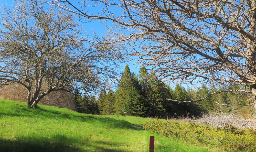
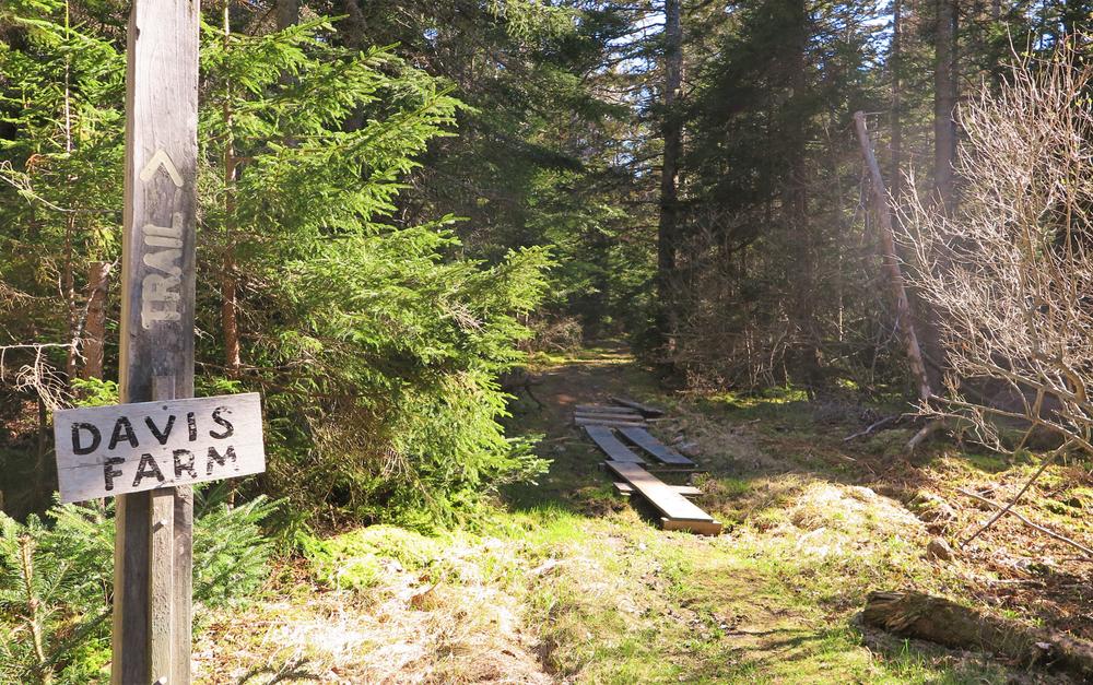
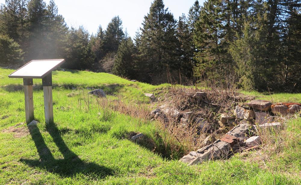
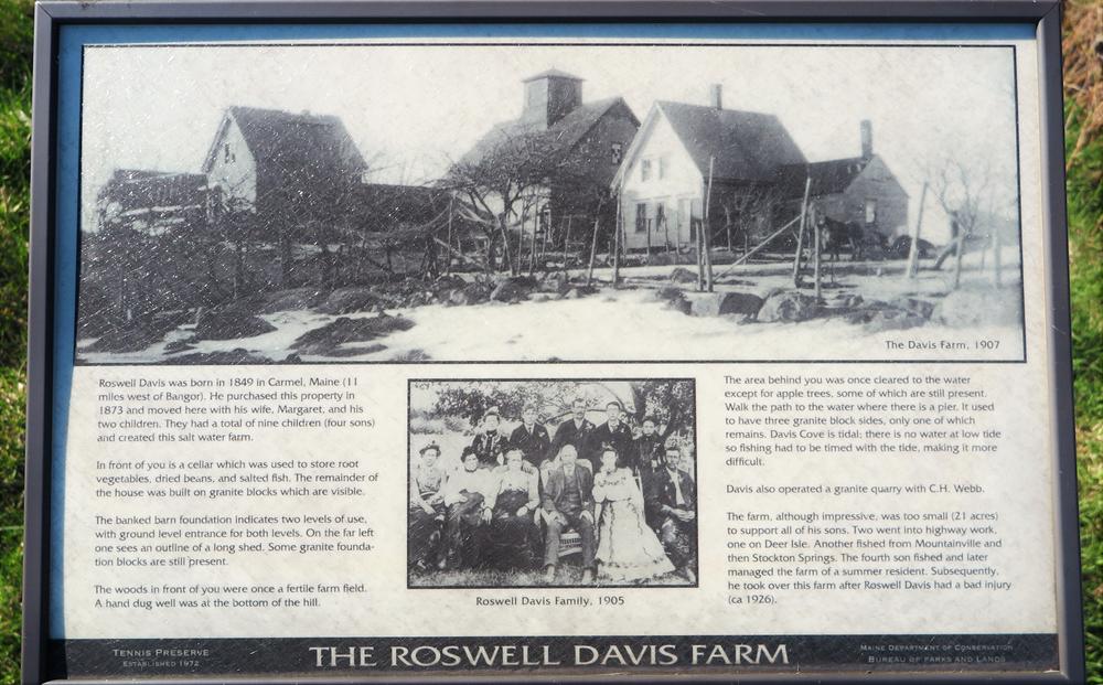
The easiest terrain is found on a trail that proceeds from middle parking area, on the west side of the road (to the right, upon entering the preserve). This trail along an old road leads 0.3 miles to the old homestead and foundation of the Davis Farm. An informational sign by the foundation provides a history of the Davis Family. A path descends down the field down to the shore. For an easy hike, the path along the old road may be used to return to the parking area.
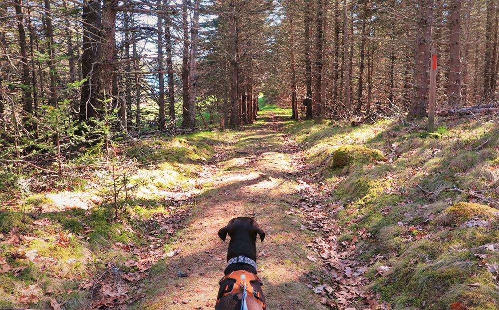
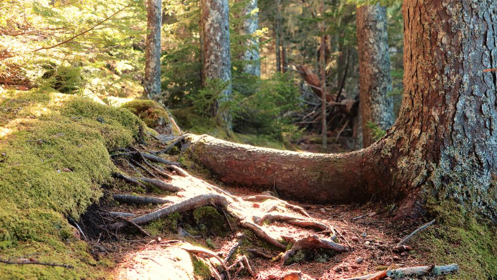
Alternatively, the trail to the north of Davis Farm can be used to return to the road, with a short 0.2 mile walk along the road to return to the middle parking area. This northern-most trail through the woods and across a small marshy area traverses flat terrain, but there are many exposed roots along sections of this trail. This route to Davis Farm to the trails to the north makes for a loop 0.8 miles in length. Davis Farm also gives access to a loop to the south along the shoreline, then back through the woods, a total of 1 mile in length from the parking area.
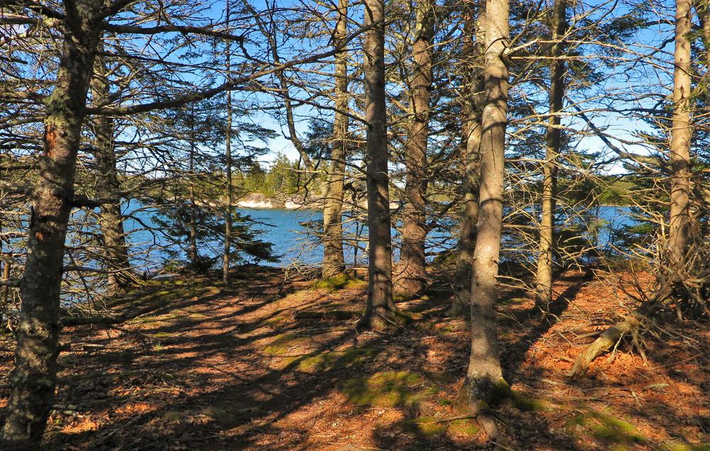
The east side of the preserve offers a loop along the shore of Pickering Cove and around the point of the peninsula. These trails also pass by the foundation of the Pickering Farm in a small clearing. While there is little to moderate elevation along these trails, there are a great deal of exposed roots and some wet areas.
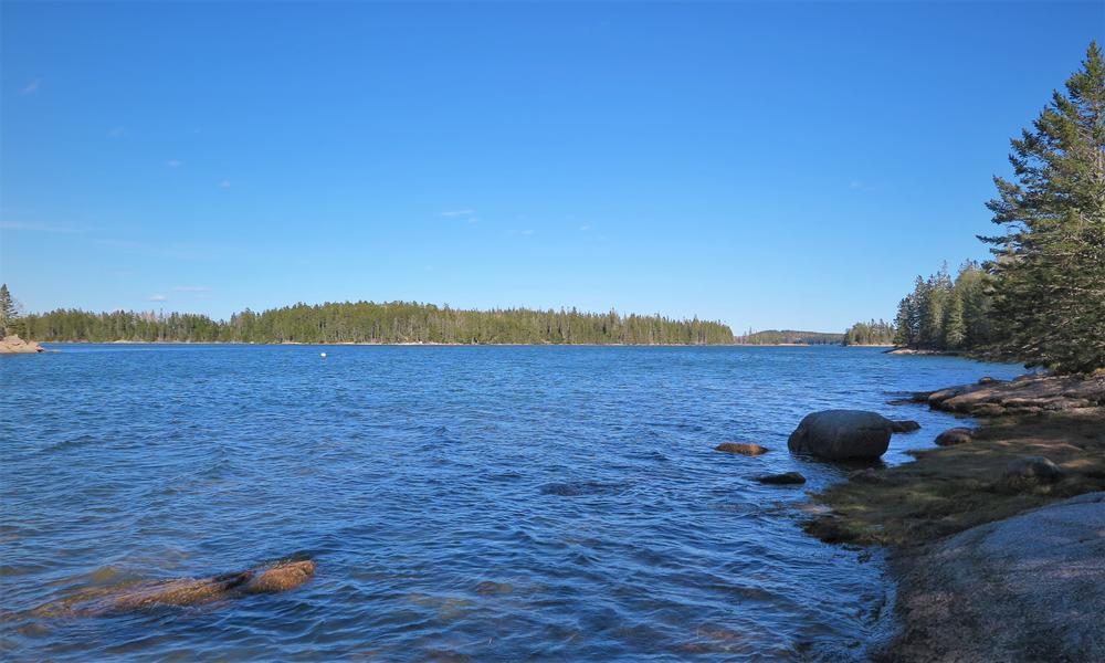
The trail along the shore passes by a small pocket beach, and offers impressive views along its length of the ocean and islands surrounding the preserve. A short section of trail as it leaves the shoreline (heading in a clockwise direction) ascends somewhat steeply for about 0.1 miles before leveling out back through the woods, the only real significant elevation change in this trail network. From the southern-most parking area, this loop is 1.4 miles in length. Starting from the northern-most parking area, to add on a section of trail along the shore and return by the road, makes for a loop of 1.9 miles.
This property is owned by the State of Maine and managed by Island Heritage Trust.
A preserve brochure and trail map, as well as a self-guided nature tour of the Edgar Tennis Preserve, are available on the Island Heritage Trust website.
ABOUT THE PRESERVE
The Edgar M. Tennis Preserve was established through the generosity and vision of Dr. Edgar M. Tennis and his family. It was his wish that the land and shore that he loved be made available to the public, that its natural beauty be preserved, and that it remain Forever Wild. In 1972, he gave approximately 100 acres to the State of Maine to be used for walking trails, education, and research. An additional 15 acres was given to the State by his daughter. In 1996, she gave approximately 30 more acres to the Preserve. Both of these additions are protected by conservation easements held by the Island Heritage Trust.
HISTORY
Archeological evidence finds that Indian people camped along these shores for up to 3,000 years, most likely they spent their winters on these shores. The strong tidal currents and fertile sea provided an abundance of fish and shellfish for the Indians to harvest.
In more recent times, deeds from the 1790’s show this land was settled by Elijah Toothacher - some of his descendants are buried in the cemetery - and later, the Pickering and Davis families farmed here. Around 1914, the artist Chase Emerson, for whom the Deer Isle library is named, purchased the farmhouse on the shore. Finally, the Tennis family purchased the property in 1944.
Evidence of the people who lived here in the past is still visible today. The forest changes across different parts of the preserve, reflecting the use of the land by its past inhabitants.
GUIDELINES
For additional information, visit the Island Heritage Trust website, or contact:
![]()
Never Feed Wildlife: It can change their behavior and can make them dependent on humans.
Driving south through Deer Isle village on ME-15, turn left on Sunshine Road (across from Mill Pond Mobil). Follow Sunshine Road for 2.5 miles, then turn right on Tennis Road. Follow this road to its end, following the signs so as not to go down a private drive. There is limited parking in four small parking areas located on both sides of the road as you enter the preserve. To protect fragile fauna, please park only in these designated areas off the roadway.
Success! A new password has been emailed to you.