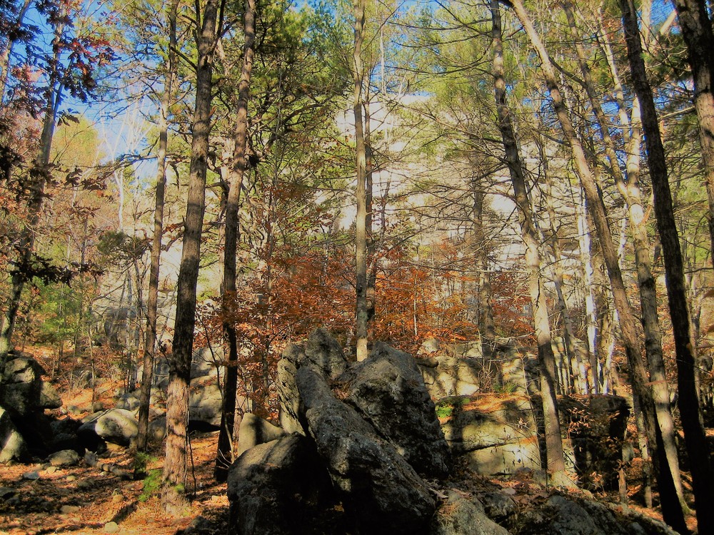
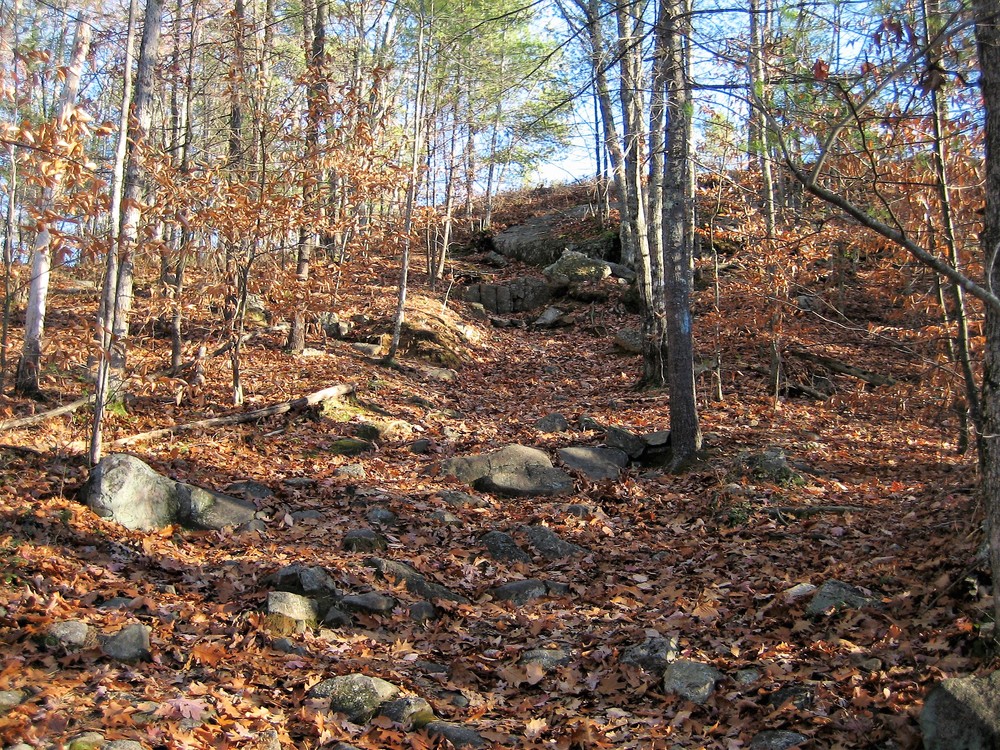
The Jockey Cap trail starts directly off the NW corner of the parking lot, at the wooden arbor with "Jockey Cap Trail" written across the top. The trail follows rolling terrain to the west for approximately 800 feet, leading to a forested boulder field at the base of Jockey Cap Rock. Small caves and excellent bouldering may be found here. Continuing past this boulder field the trail winds around Jockey Cap and climbs steeply for 0.1 miles before breaking free of tree cover and ascending to the apex of the rock.
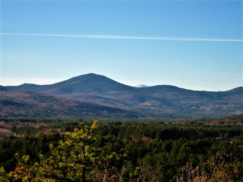
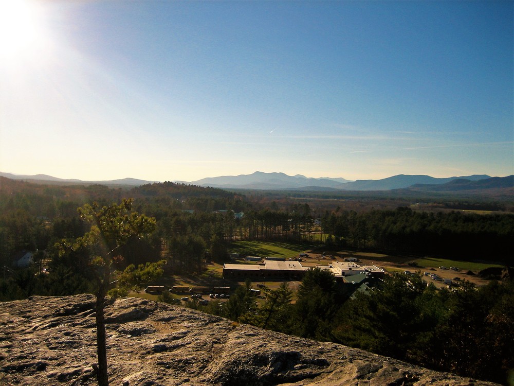
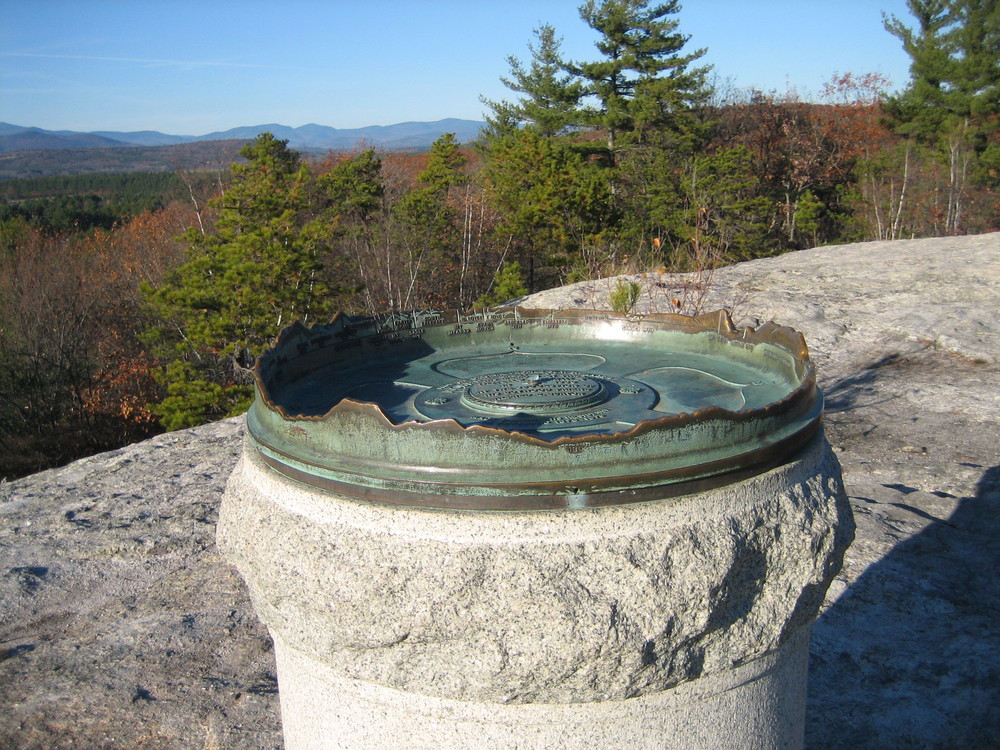
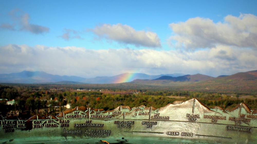
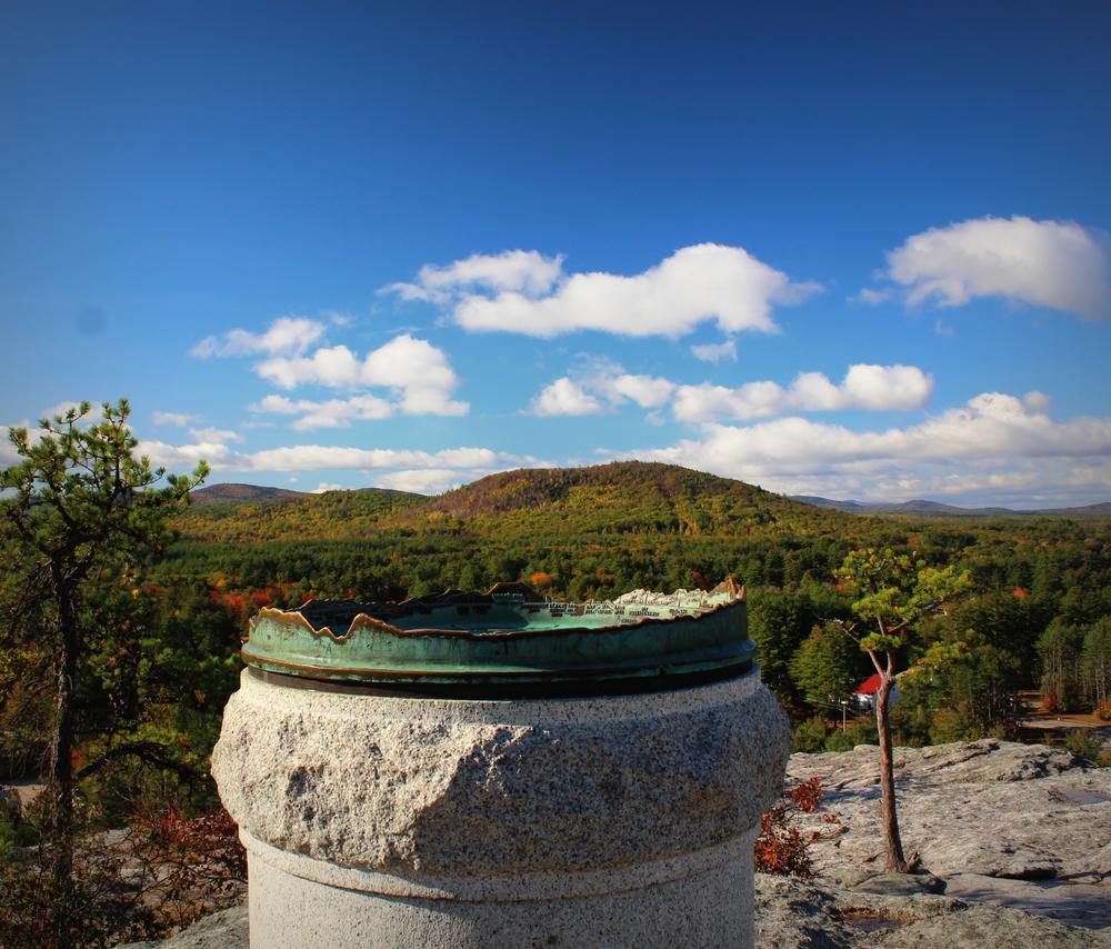
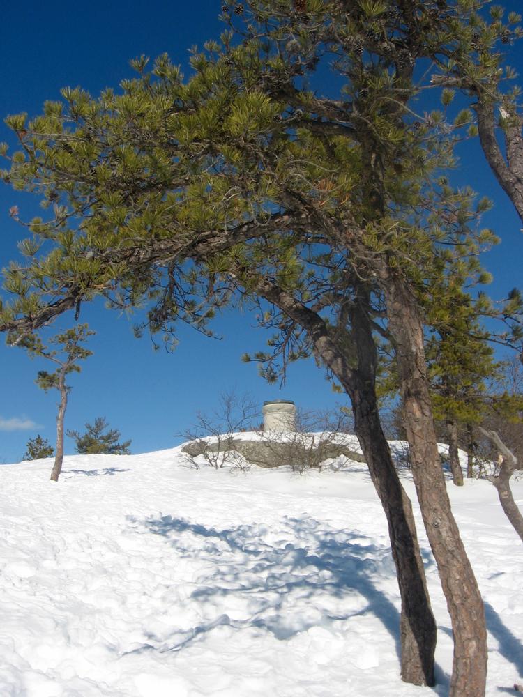
Jockey Cap Rock is crowned by a monument to Robert E Peary, commonly credited as the first explorer of European descent to reach the North Pole. This monument features a panoramic landscape compass, with every visible summit depicted to scale and aligned for ease of identification. Views to the north, west, and south include the Saco River valley, oft snowcapped peaks in the White Mountains and the town of Fryeburg below.
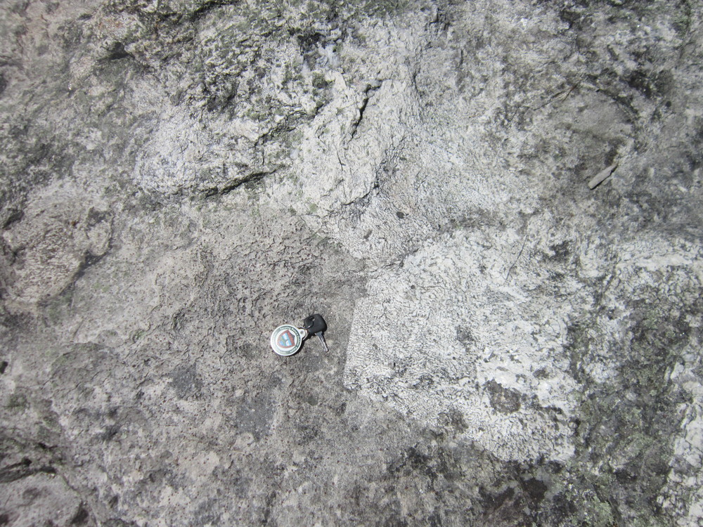
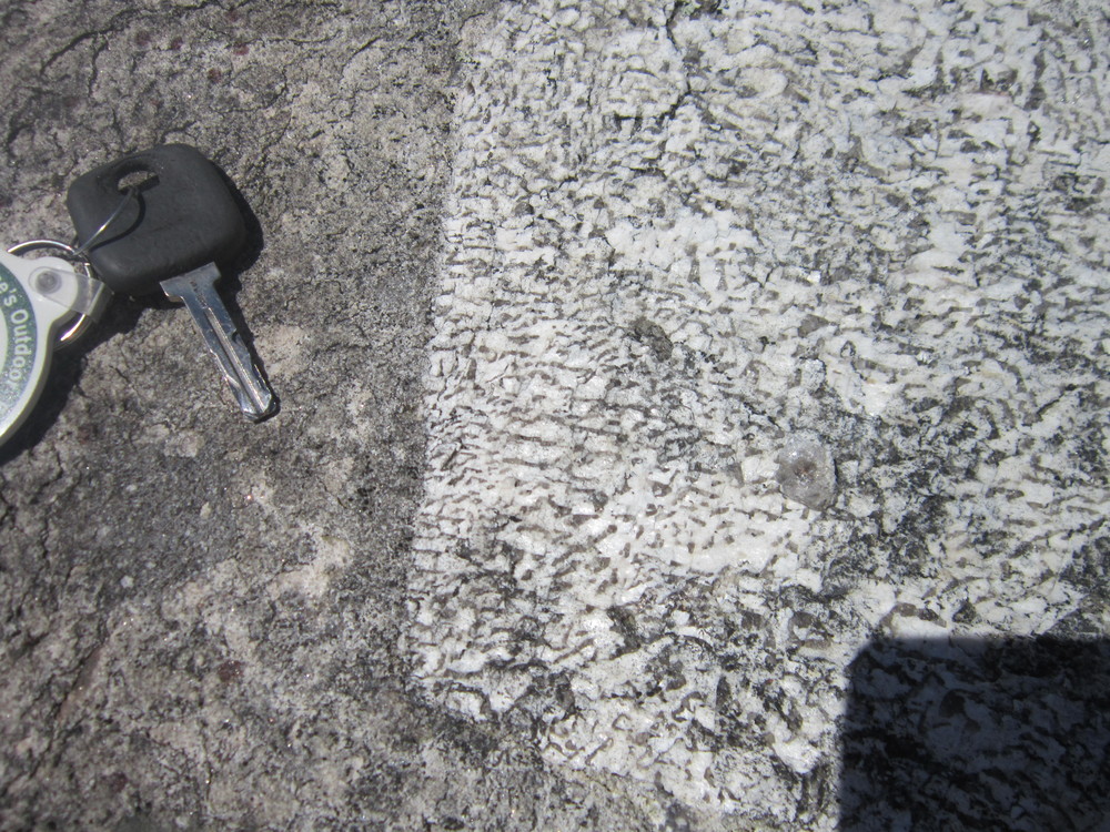
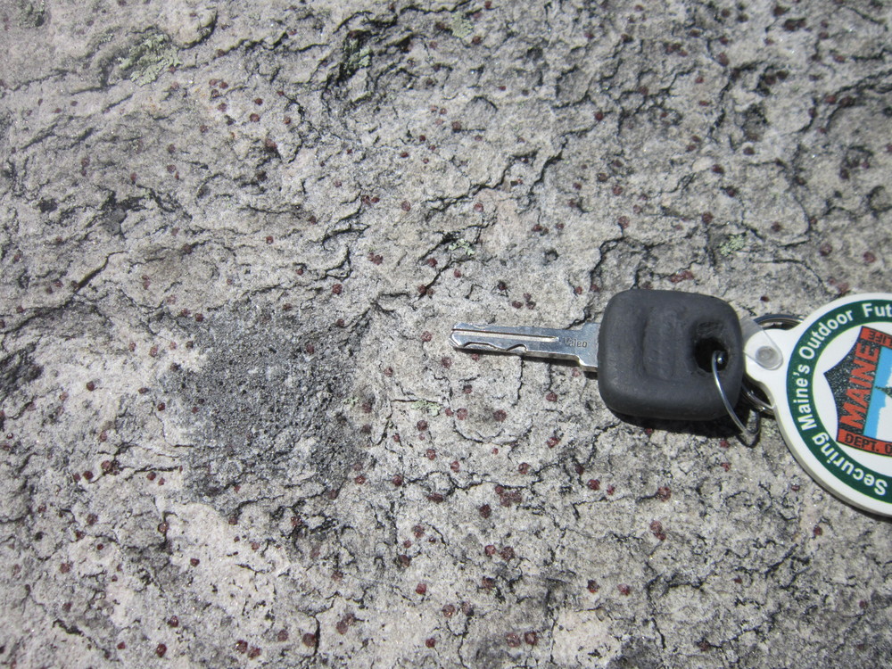
Jockey Cap Rock is not a glacial erratic, but instead a granite outcrop of bedrock that was scraped by the glaciers' movement over it. The glaciers were probably responsible for the boulders at the southern base of the Cap. These boulders are a favorite spot for rock climbers, as are the west and south-facing cliffs of the Cap itself. The boulders at the base have formed caves that are fun for kids to explore. Under one of these boulders is a cave that is rumored to have been used as a seasonal home to a Pequawket Native woman named Molly Ockett. It is believed that Molly Ockett was a healer who used native plants and concoctions to cure the ills of the Pequawket people as well as the white settlers. She traveled widely throughout New England and Canada. The elementary and middle school at the base of Jockey Cap is named for her. In the 1930s Jockey Cap was a ski area and was home to Maine's first rope tow.
Give Back: Look for ways you can give back to the communities and organizations that make Maine’s outdoors great. Consider integrating volunteer work into your trip, or make a donation to local conservation groups.
From the junction of ME-5 and US-302 in Fryeburg: Travel 0.7 miles east on US-302/Bridgton Road. turn left into a short drivway (0.2 miles past the Jockey Cap Motel and Country Store) leading the parking lot.
Success! A new password has been emailed to you.