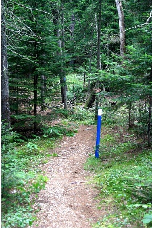
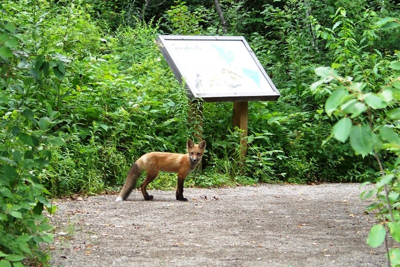
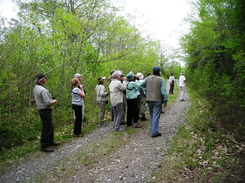
Visitors will find a network of well maintained trails for all accessibility levels at the Refuge. Three of the trails, Charlotte, Woodcock, and Greg's Pond, have interpretive panels highlighting species, habitats, and refuge management. Two trails are groomed in the winter for cross-country skiing. Five trails are located in the core wilderness area where all vehicle traffic (including bicycles) are prohibited, providing a remote wilderness experience.
The Woodcock Trail, located off the Headquarters Road is a paved, 4+ foot wide, fully accessible trail.
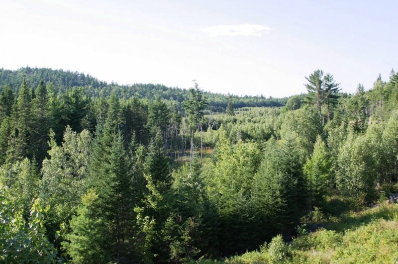
The trails and service roads across the Refuge have gentle grades, while the refuge's landscape is varied, with rolling hills, large ledge outcrops, streams, lakes, bogs, and marshes. A northern hardwood forest of aspen, maple, birch, oak, spruce and fir dominates the upland. Scattered stands of majestic white pine are common.
Read about MTF Accessibility Ambassador Enock Glidden's visit to the Refuge using his wheelchair at MTF Stories.
Moosehorn is the easternmost National Wildlife Refuge in the Atlantic flyway, a migration route that follows the east coast of North America, and its primary purpose is to protect wildlife, including migrating waterfowl, wading birds, shorebirds, upland game birds, songbirds, and birds of prey. The Baring Division covers 17,200 Acres and is located southwest of Calais. More than 4,600 acres are protected as a National Wilderness Area.
Camping, campfires, and motorized vehicles are not permitted on the refuge. Motorized vehicles and and mechanical transport (bicycles) are not permitted in the Wilderness Areas.
Cobscook Trails Project
The trails on Moosehorn National Wildlife Refuge are part of a larger network of hiking trails in known as Cobscook Trails. Cobscook Trails is a cooperative project of conservation landowners and community partners that seeks to expand opportunities for nature-based recreation and tourism in eastern Washington County. The group produces "Cobscook Trails: A Guide to Walking Opportunities around Cobscook Bay and Bold Coast Region," a 55 page booklet describing walks on 19 area properties. Find more information about Cobscook Trails, including how to purchase the guidebook, visit: The Cobscook Trails Project.
Visit Moosehorn National Wildlife Refuge online for more information or contact:
Respect Maine’s “Open Land” Tradition: In many places, private landowners allow recreational access. Show your appreciation by seeking permission, treading carefully, and educating yourself on this uniquely Maine tradition.
Moosehorn NWR's office is located on the Headquarters Road in Baring (~6.5 miles north of Calais). From US Route 1 take the Charlotte Road for three miles until you reach Headquarters Road on your right (look for the brown wildlife refuge signs). The refuge office is located half of a mile from the Charlotte Road turnoff. Visitors to the refuge are encouraged to stop at the refuge office to learn more about the refuge and pickup a trail map.
Trailheads leaving from ME Route 191 and Charlotte Roads are marked in most cases by gated service roads. Parking is off the side of the road or in designated pullout.
Success! A new password has been emailed to you.
After logging many hours of exploring groomed/ungroomed trails during the last three years, my recommendations:
1. Wear a mosquito head-net. There are many deeply shaded areas where troops of mosquitoes and black flies lurk. Ticks haven't been an issue, but where you would encounter knee-deep grass, it would do well to spray shoes and pant legs.
2. Bring a camel water pack.
3. Equip a boat horn. I've not encountered a bear yet, but have come across fresh bear scat plenty of times. I have seen deer and moose.
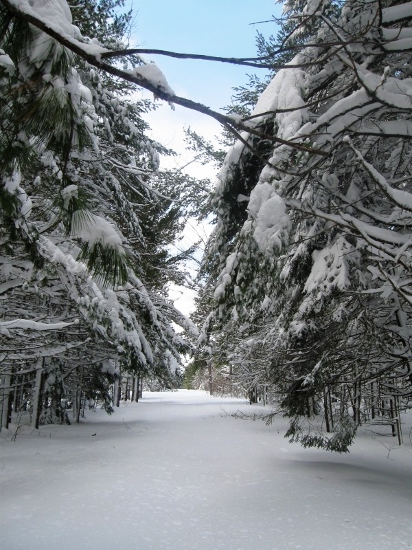
4. The trails ice up in the wintertime. Crampons and spiked walking sticks are a must.
5. Wear shoes/boots with a stiff sole. There are plenty of trails with roots/rocks coming up out of the dirt.
6. The trail maps are not to scale!