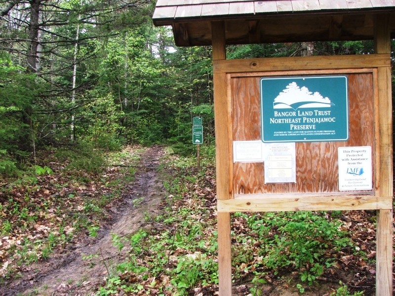
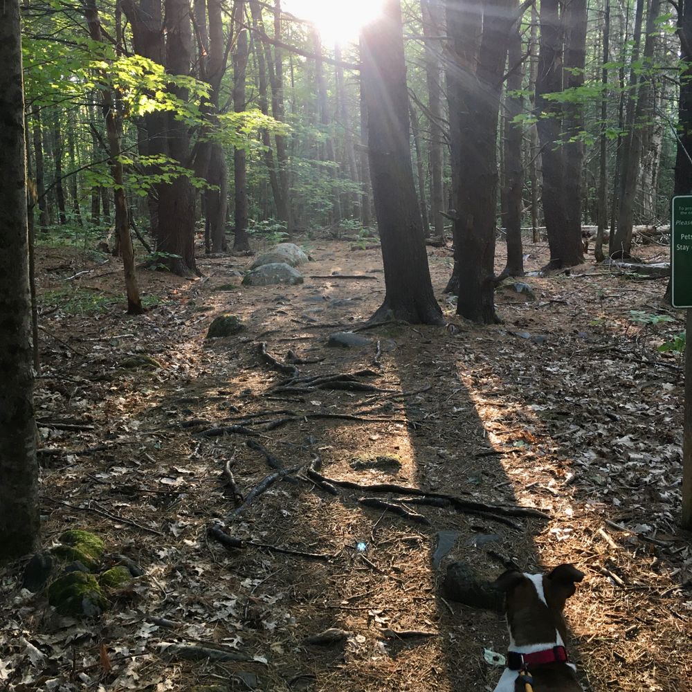
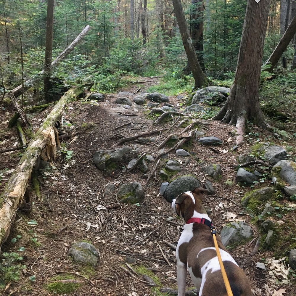
The trail enters into the forest next to the Bangor Land Trust kiosk and navigates through an upland forest with an abundance of red oak, red maple, and balsam fir. Shortly after the trailhead, the path forks. Both directions reconnect to form a loop near the upper Penjajawoc Stream that flows into Penjajawoc Marsh.
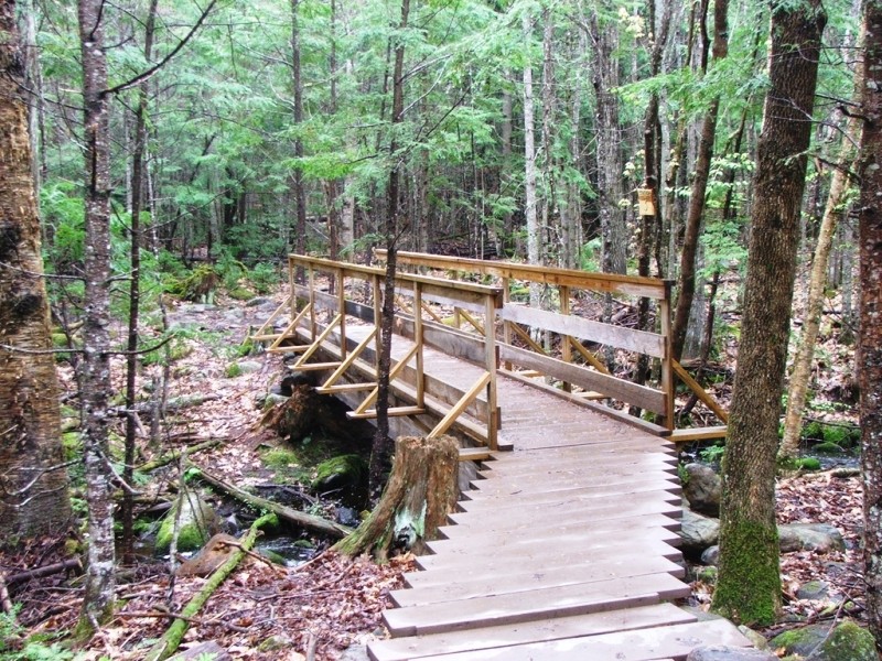
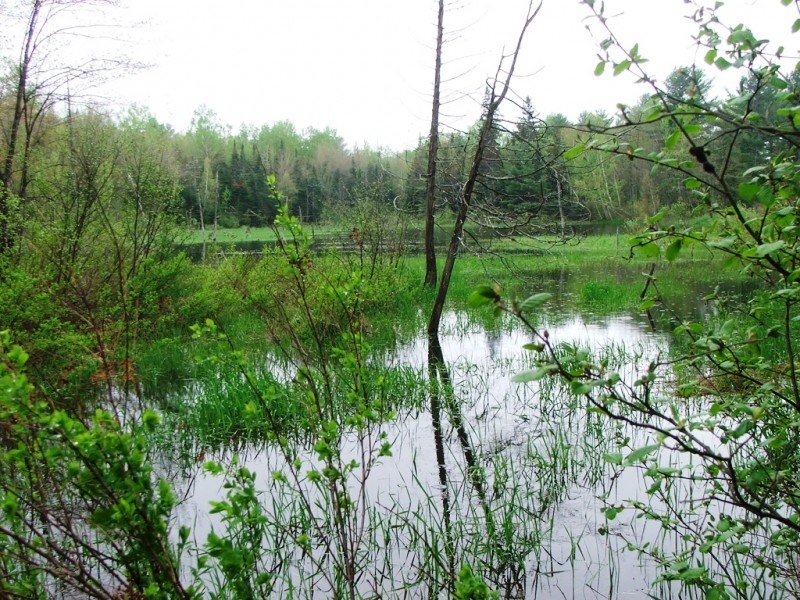
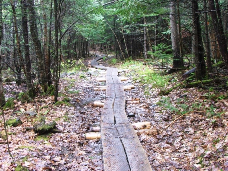
Bearing right at the fork leads down a series of stepped bog bridges and passes the downstream end of a cattail marsh, with good views out over the marsh. Soon after the marsh, the trail turns, running parallel to the stream, and reconnects to the other trail closing the loop next to a bridge crossing the stream. Across the bridge, the trail splits immediately with one path winding its way to a vernal pool and a shallow mixed graminoid-shrub marsh, and the other path passing through an aspen-birch woodland.
The marsh is the northeast tip of the larger Penjajawoc Marsh, and is a good place to look for waterfowl, wading birds, reptiles, and amphibians. Both of these trails lead to the old Veazie Railroad bed, which connects these trails to each other and to Bangor's City Forest and Bangor Land Trust's Walden-Parke Preserve and North Penjajawoc Forest. Given the variety of habitats in the preserve, this network of trails supports a variety of mammal, bird, reptile, and amphibian wildlife!
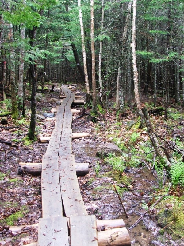
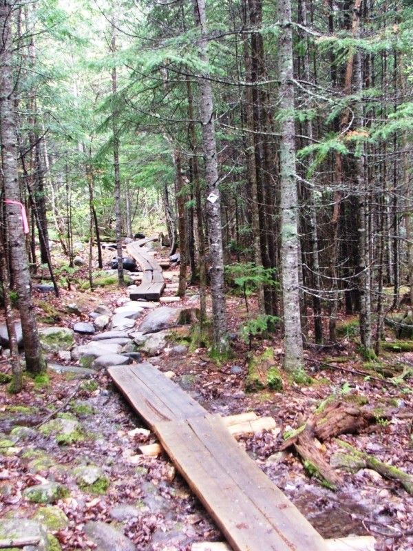
The extensive wetlands in this preserve make the trails frequently wet and muddy, in spite of the extensive remediation done by Bangor Land Trust and the Maine Conservation Corps.
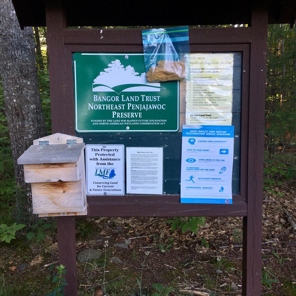
Pets are allowed only on a leash and only if waste is removed. Horses are not permitted.
We ask that you follow these simple leave no trace guidelines:

This trail passes through a property that was acquired in part with funds from the Land for Maine’s Future program. For more information about the LMF program and the places it has helped to protect, please visit the LMF webpage.
Visit Bangor Land Trust online for more information or contact:

Don’t Disturb Rock Cairns: Those stacked rock formations? They mark the trail—don’t move or build new ones.
From the Hogan Road exit off I-95 in Bangor (Exit 187), travel north on Hogan Road; coming from I-95 northbound this will be a left at end of ramp onto Hogan Road and coming from I-95 southbound this will be a right. Stay on Hogan Road until it ends at Stillwater Avenue. Turn right onto Stillwater Avenue and then take an immediate left onto Kittredge Road.
The Bangor Land Trust kiosk can be seen, set back from the road, on the left hand side approximately one-half mile from the start of Kittredge Road. If you reach the end of the paved surface, you have just overshot the entrance. Parking is on the shoulder of the road.
Success! A new password has been emailed to you.
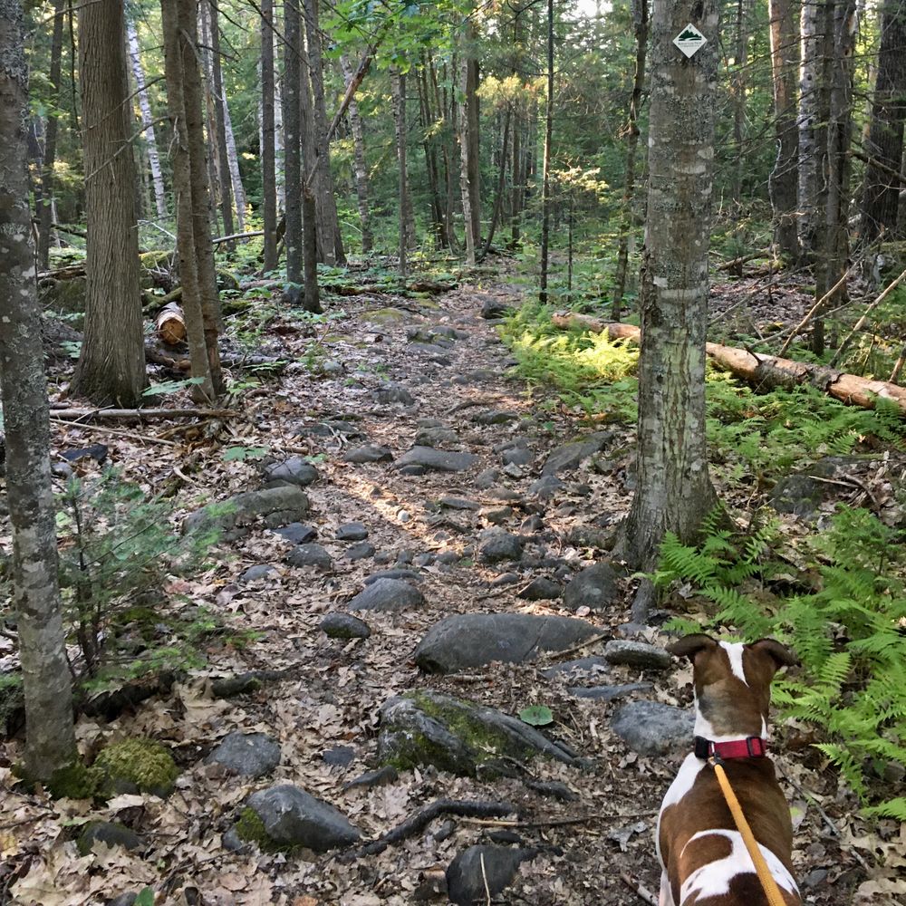
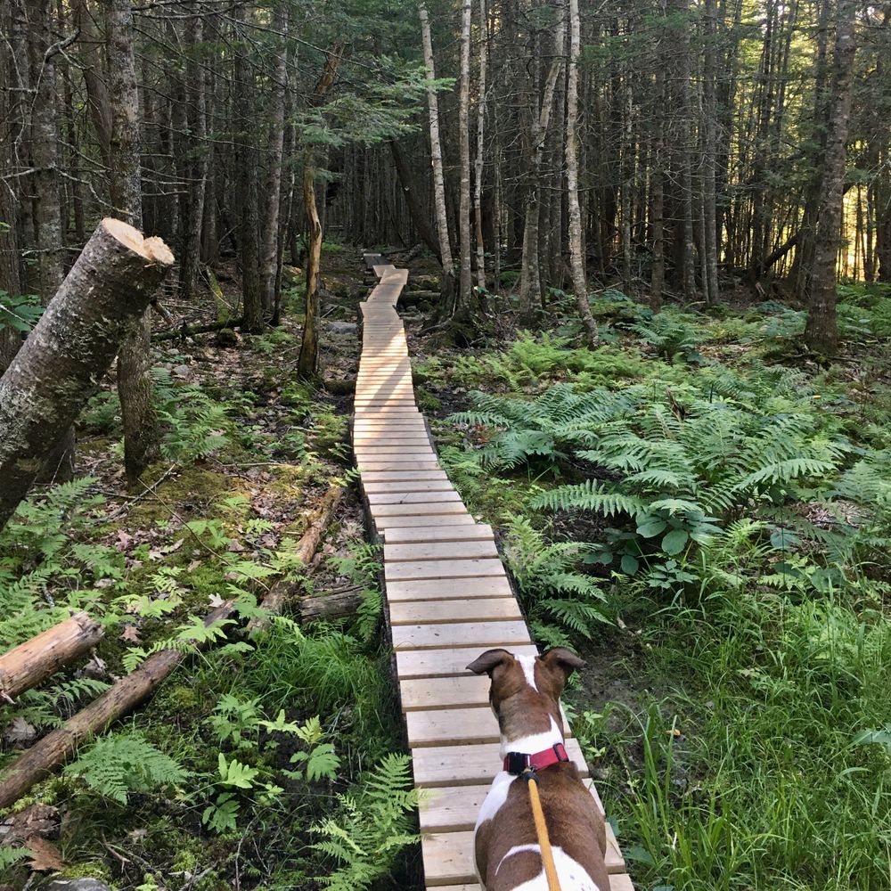
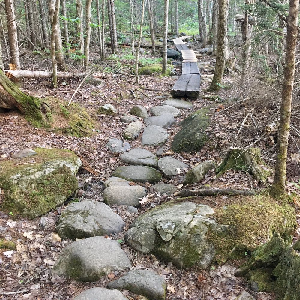
Pros: Different footing, including flat ground, rocks/roots, planks, etc. to keep things interesting. Trails are taken care of and well marked.
Cons: Quite a few rough spots with lots of roots and rocks; prime areas for getting hurt if you’re not paying attention to the placement of each footstep.
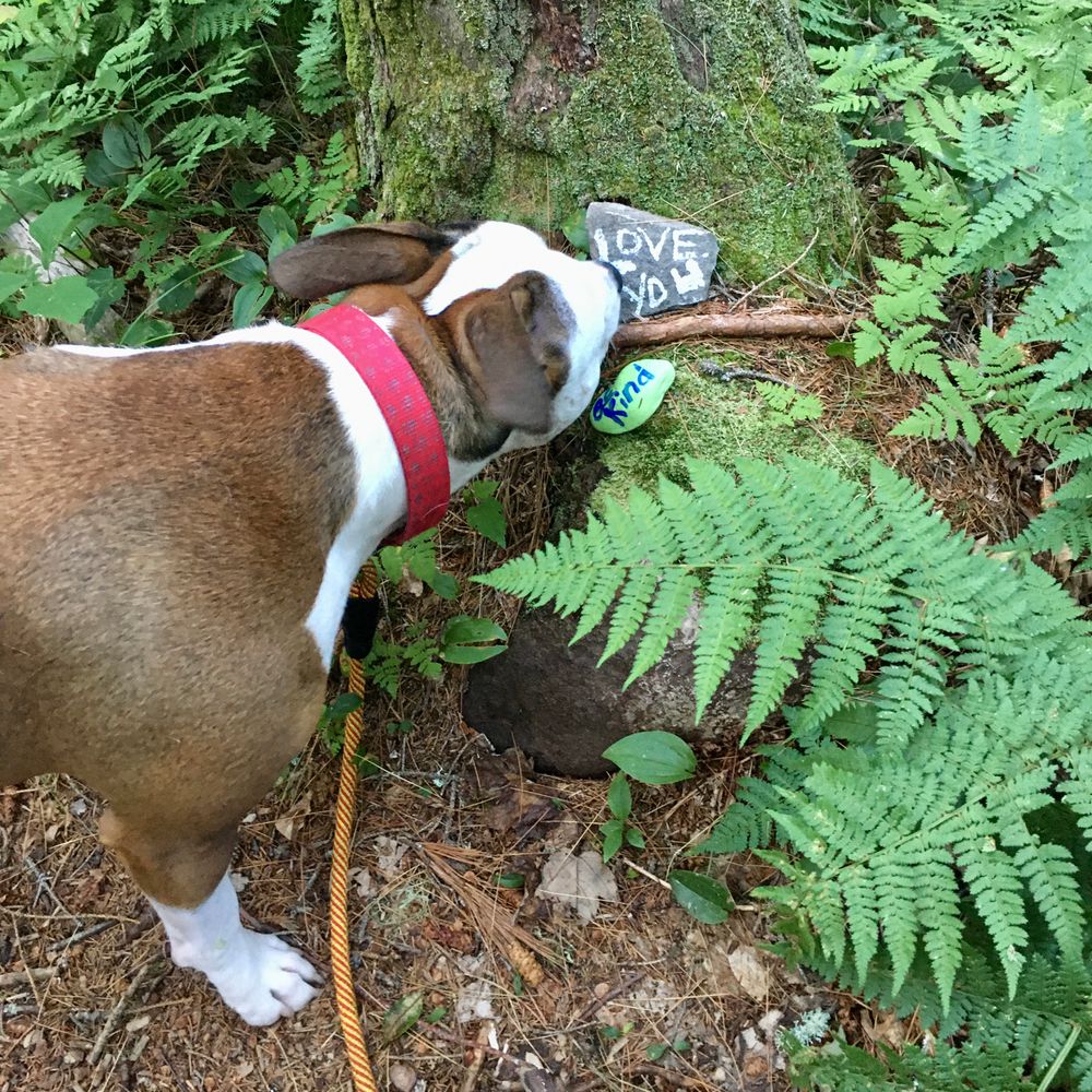
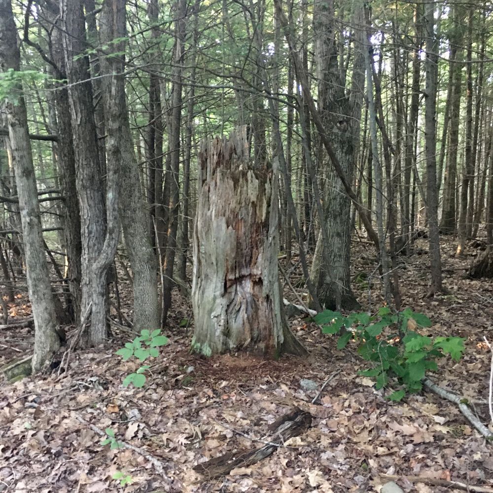
Randoms: I found a tall tree stump with a face and “good vibe” rocks someone left along the trail.
Overall, great hike and looking forward to going back!