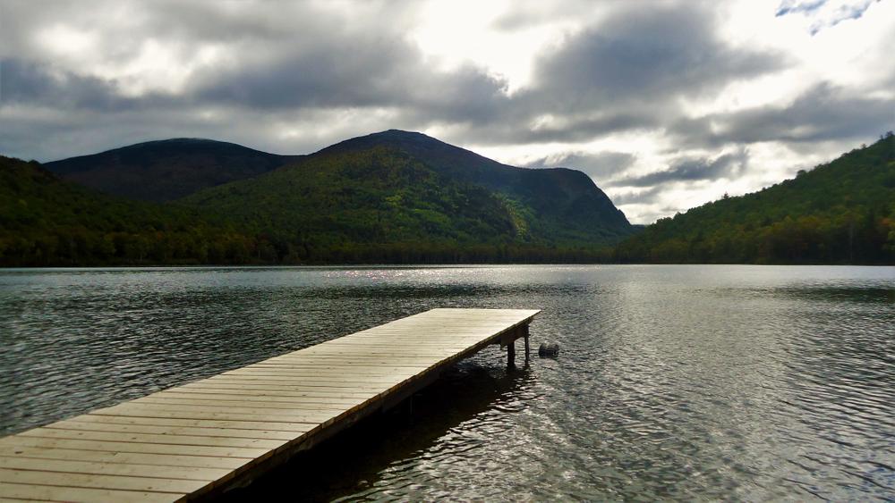
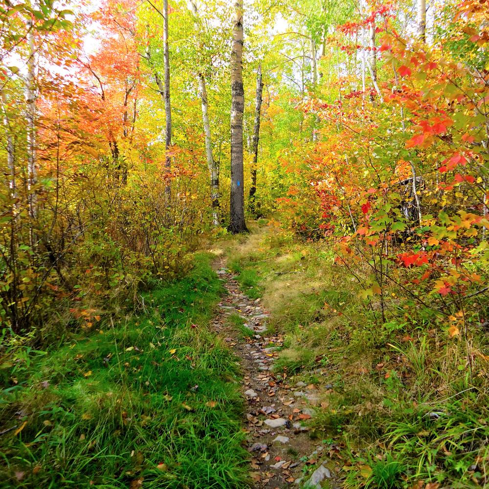
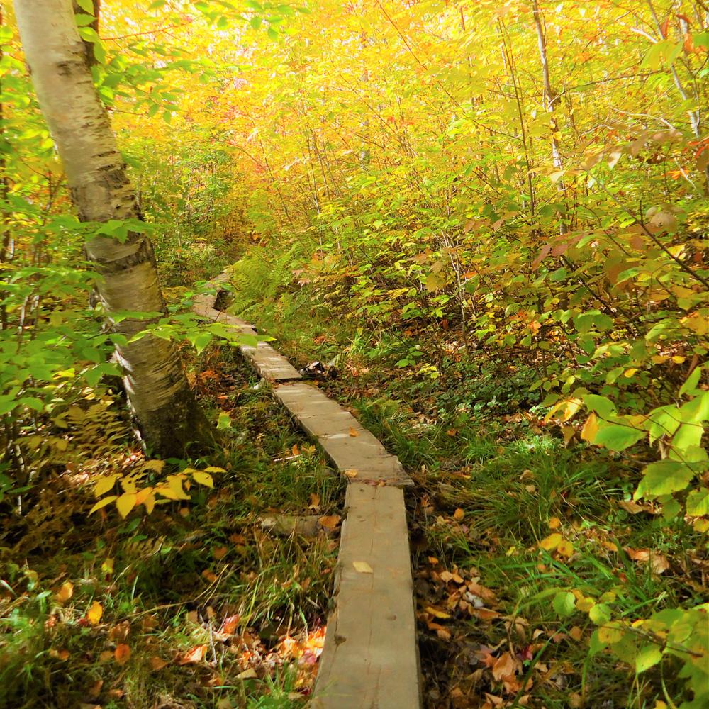
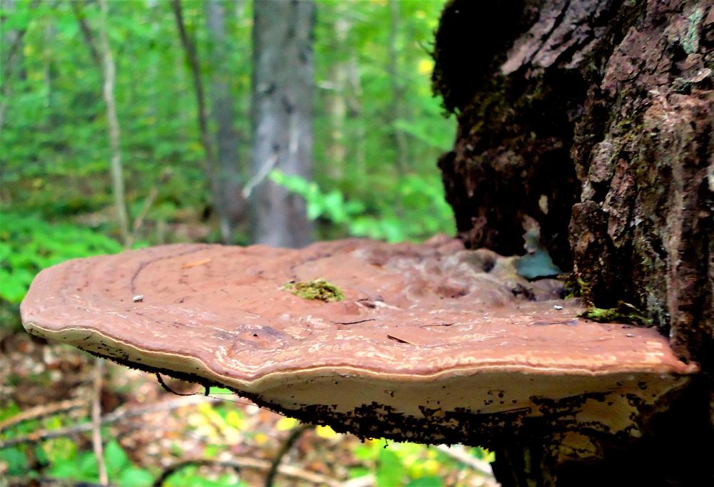
The Pogy Notch Trail was constructed in 1951. It is important in that it serves as the only connector trail between the northern and central portions of the Park. The trail is relatively level. It follows the eastern shores of Lower and Upper South Branch Ponds, then continues south through Pogy Notch to Pogy Pond, then on to Russell Pond. Other than the shores of the South Branch Ponds, views are limited along the heavily wooded trail. However, there are many interesting things to see such as Pogy Pond, bogs, streams, and varied forest growth.
There are numerous brook crossings so no water needs be carried. There is little elevation gain. The hiking time is approximately 5 hours one-way with full packs.
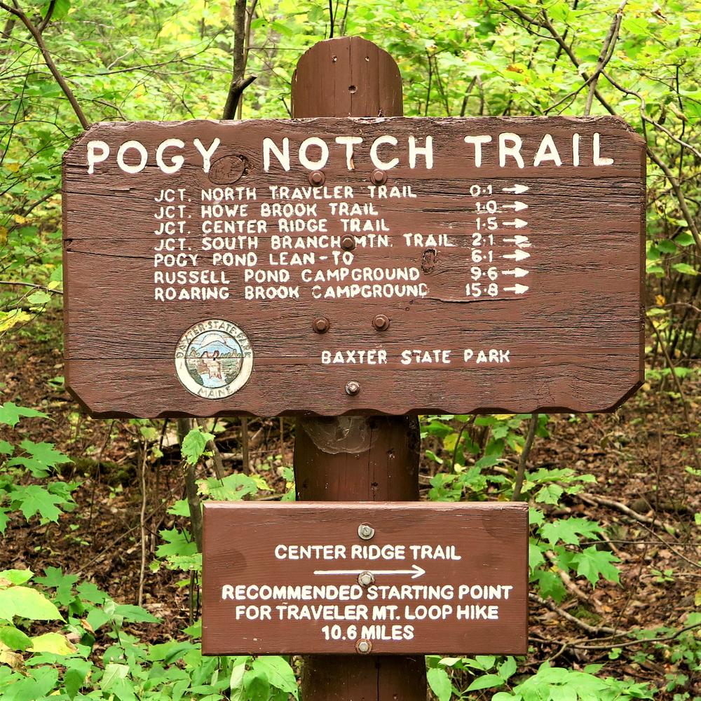
TRAIL DETAILS
0.0 Miles: At the east end of South Branch Pond Campground, the trail begins at a prominent sign post. It proceeds over a well-worn woods trail.
0.1 Miles: The first trail junction. To the left (east) is the North Traveler Trail leading 2.6 miles to its summit. The Pogy Notch Trail continues south paralleling the east shore of pond, soon passing the base of the sheer cliffs of North Traveler Ridge.
0.9 Miles: The trail emerges onto a wash (part of a true delta) of Howe Brook. To the right (west) is a canoe landing. The trail bears away from pond and soon parallels Howe Brook.
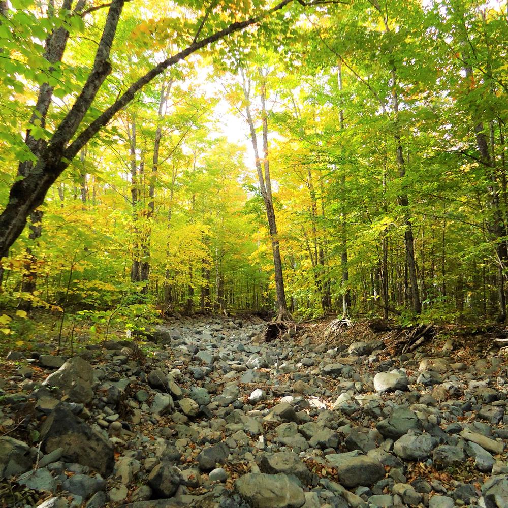
1.0 Miles: The next trail junction, with the scenic Howe Brook Trail leading 2.0 miles to the head of Howe Brook. The Pogy Notch Trail turns sharp right and crosses Howe Brook. The trail then traverses the wide, ancient delta of Howe Brook, passing through a beautiful grove of mature hardwoods, one of the best in the Park.
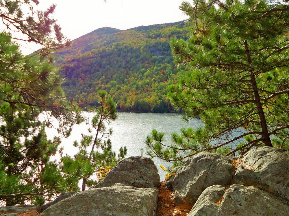
1.4 Miles: At the base of a talus slope of Center Ridge, the trail ascends over cliffs that drop directly into Upper South Branch Pond.
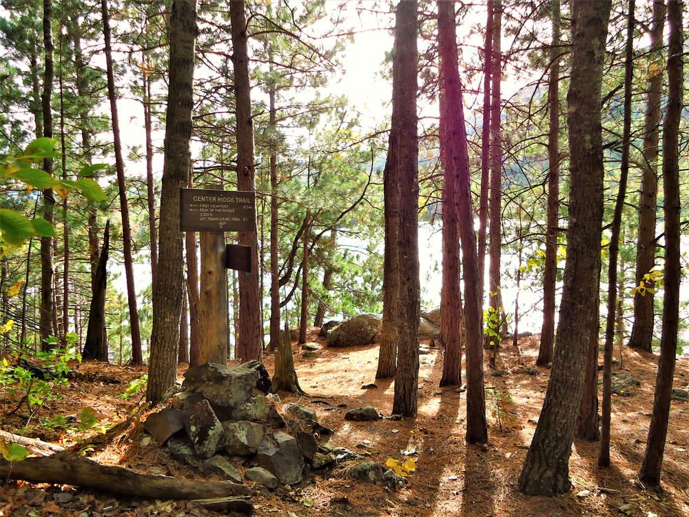
1.5 Miles: At the high point on the cliffs there is a trail junction with the Center Ridge Trail to the left, leading 5.8 miles to the summit of The Traveler, and connecting to the North Traveler Trail. Beyond the junction, the trail descends back to the shoreline of Upper South Branch Pond.
2.0 Miles: The trail crosses an inlet brook to the pond.
2.1 Miles: The trail reaches a junction at a picnic site and canoe landing at the southeast corner of the pond. To the right is the South Branch Mountain Trail leading west then north 4.5 miles back to South Branch Pond Campground. The Pogy Notch Trail proceeds straight ahead to the south, leaving Upper South Branch Pond and entering Pogy Notch.
2.4 Miles: On the right (west), the trail passes a beaver bog with a prominent lodge in the middle. Pinnacle Ridge is to the left.
2.8 Miles: The trail passes a second beaver pond.
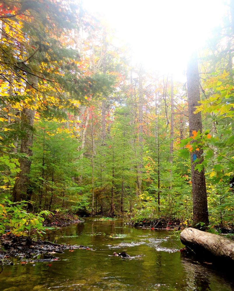
3.0 Miles: The trail cross the first of a series of brooks. The others are at mileages 3.3, 3.4, and 3.5.
4.6 Miles: The trail passes between two beaver flowages. Beyond, it cross brooks at 5.0, 5.7, and 5.9 miles. It gradually leaves Pogy Notch and enters a huge basin located in the center of the Park.
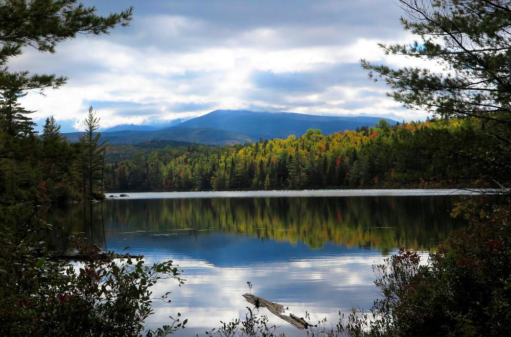
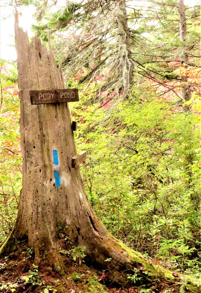
6.1 Miles: A trail junction at the northern end of Pogy Pond, with a side trail to the left (east) leading 0.2 miles around northern and eastern shores of pond to the Pogy Pond Lean-to. The Pogy Notch Trail continues straight head, skirting the west side of the pond.
6.3 Miles: The trail bears right (southwest) uphill and leaves the pond. It continues a gradual ascent through hardwoods.
7.0 Miles: The trail crosses a deep gully with a large brook at the bottom. This is the outlet brook draining the Six Ponds area to the southwest. The trail then passes through an area of semi-open coniferous growth that is interesting because of the wide spacing of the trees with heavy fern growth between, a result of the Great Wassataquoik Fire that swept this area in 1903.
8.2 Miles: The trail crosses a small brook with a swampy area to left (east).
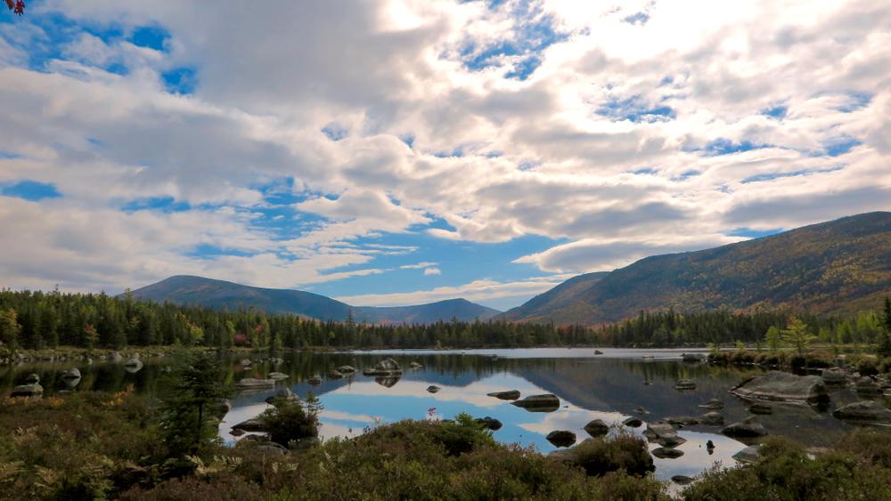
9.4 Miles: Russell Pond is first seen, at the top of a small rise. The trail descends to the pond and in 100 yards reaches a junction. To left is the Grand Falls Trail leading 2.5 miles around Russell Pond to the Grand Falls of the Wassataquoik. The Ranger's Cabin is a short distance down this trail.
9.5 Miles: The trail reaches an open area near Russell Pond at a trail junction. To right is the Wassataquoik Lake Trail leading to that lake and further west to the Park Tote Road near Nesowadnehunk Field. The Pogy Notch Trail continues paralleling the shore of the pond, passing behind lean-tos.
9.6 Miles: The trail ends at the center of Russell Pond Campground. The Russell Pond Trail leaves this clearing to southwest and leads 7.1 miles south to Roaring Brook Campground.
Park Fees: See website for entrance and camping fees. [No entrance fee for Maine residents.]
Park Rules: See a more complete list here.
For more information and detailed trail maps, visit the Baxter State Park Authority website, or contact:

Travel Thoughtfully Through Maine’s Towns: Responsible visitation makes a difference in town, too. Some Maine communities have local norms for respectful visitors. Among other things, parking in designated spots is essential. Please also be respectful of pedestrians, cyclists and speed limits when in town.
From ME-11 in Patten, head west on ME-159. At 10.1 miles you will pass Shin Pond Village; at 11.6 miles you will pass Matagamon Wilderness Campground. At 13.4 miles (1.8 miles after Matagamon Wilderness Campground) you will arrive at Baxter State Park's Matagamon Gate entrance.
Go 6.7 miles on the Tote Road, then turn left on South Branch Pond Road. Go 2.1 miles to the campground and pond at the end of the road. Parking is just north of the campground. The trailhead is located in the campground at its east end, by the northeast corner of South Branch Pond.
Success! A new password has been emailed to you.