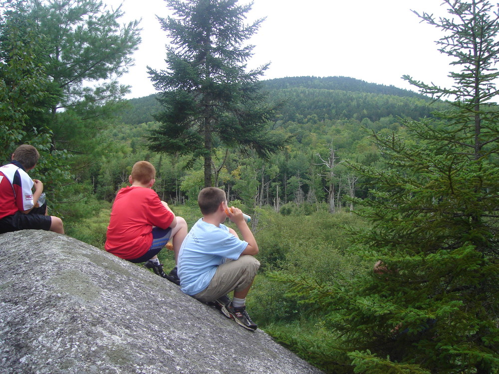
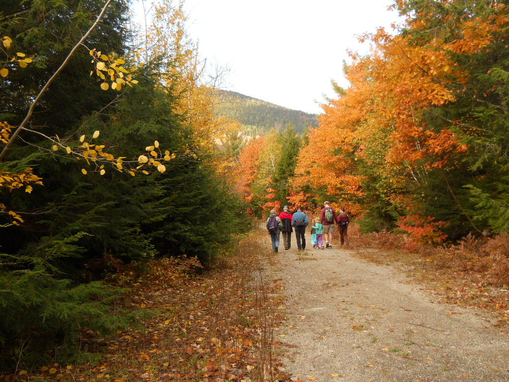
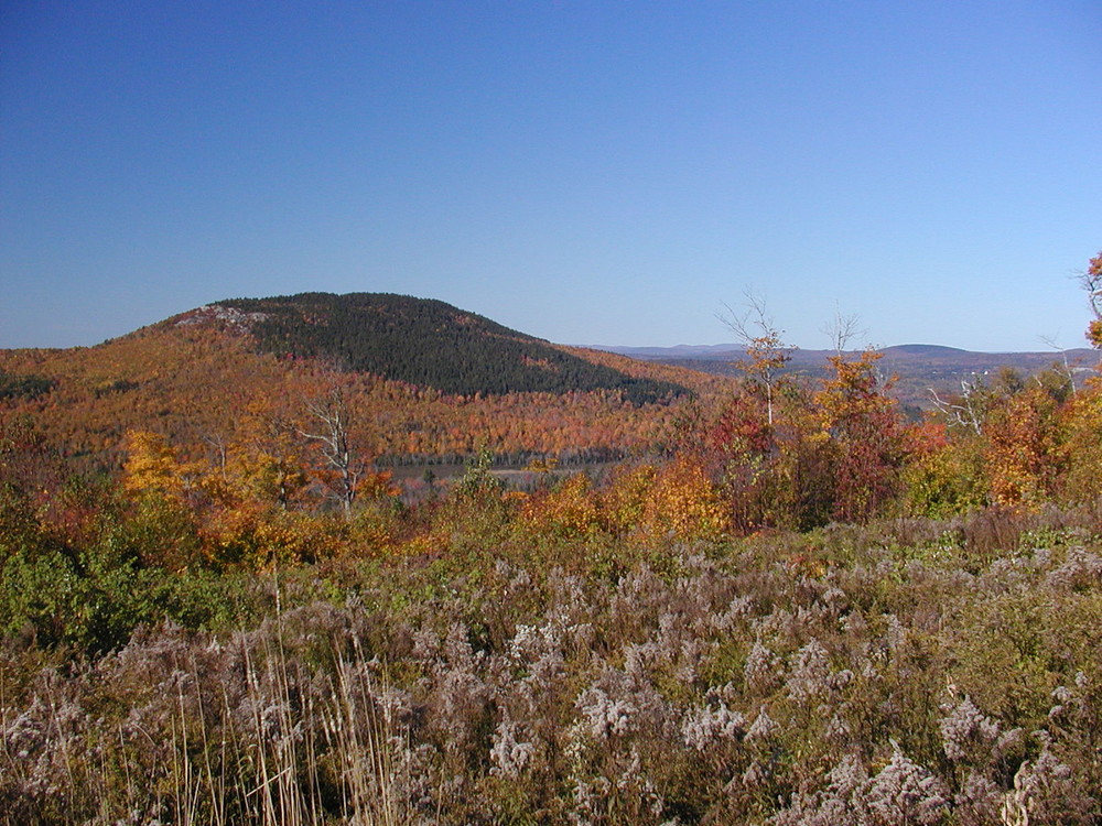
Hothole Valley is 3,420 acres of wooded valley between the peaks of Great Pond Mountain on the west; Oak Hill, Flag Hill and Flying Moose Mountain on the east; and Hothole Mountain, Condon Hill and Hedgehog Hill to the north. The valley is bisected by Hothole Brook, winding north three miles through swamps and beaver meadows to plunge into pristine Hothole Pond. Fourteen miles of gravel roads akin to Acadia’s carriage trails traverse the property, open year round to horses, bicycles and foot traffic. In addition, footpaths meander through the property, leading to spectacular views on Flag Hill’s bald summit, a rushing stream, or a quiet shore on Hothole Pond.
An outhouse is available just south of the Valley Road and Hot Hole Brook Trail junction. Please help keep it clean!
Drumlin Path (0.4 miles, moderate; footpath): Beginning at the first wide bend along the Valley Road, this path leads through mature softwoods to the first of four brook crossings, rising over three small drumlins (oval glacial gravel deposits) in between. You’ll find mossy rocks and diverse vegetation along the way: ferns, large ash and oak, hornbeam, witch hazel and hazelnut. The path rises through a mixed-hardwood hillside to emerge midway along the Esker Path. From South Gate, Esker Path to Drumlin Path and back along Valley Road makes a 2-mile loop.
East Ridge Path (1.2 miles, moderate; footpath): This path starts on Oak Hill West at the southwest overlook of Oak Hill Path, then works its way east along the bald summit ridge of Oak Hill, with views to the south, east, and northeast. As it descends the southeast side of Oak Hill, the path travels through a hardwood forest. Towards the end, there is a “jump” across Hemlock Brook, then the path emerges into a meadow and rises to join Flag Hill Trail.
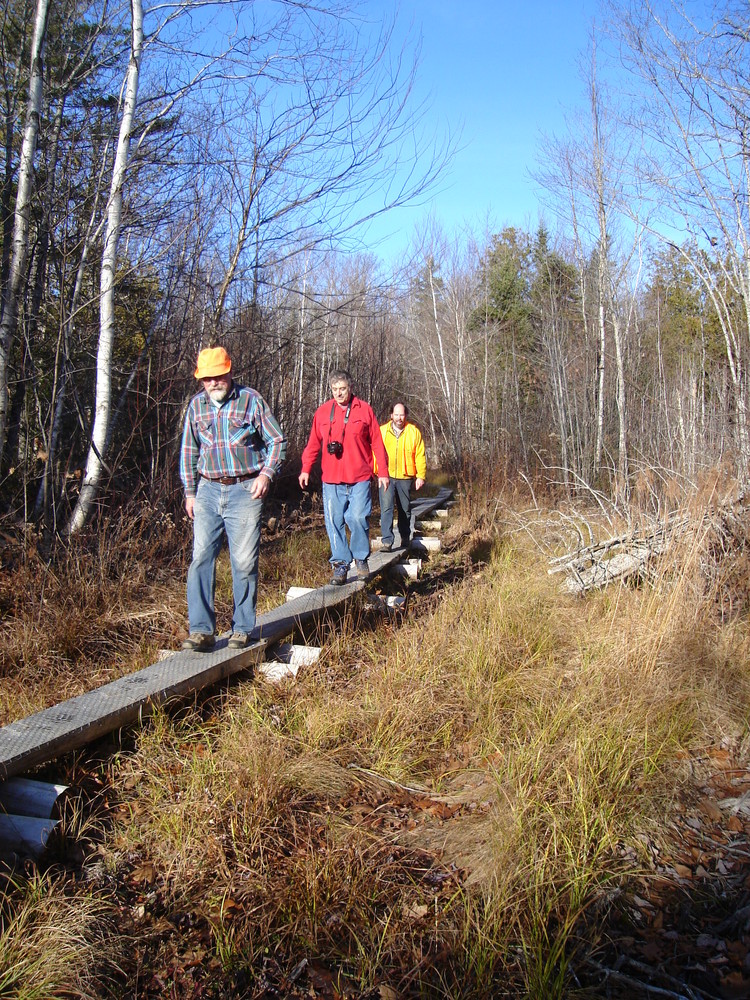
Esker Path (1.2 miles, moderate; footpath of varied terrain): This rocky, wooded path starts 200 yards in from the South Gate on the right. It begins on an old woods road, crossing a wet area over a bogwalk. It then follows a small glacial esker (a raised glacial gravel deposit) for 0.3 mile with glimpses of Great Pond Mountain, passing over several small seasonal streams. As the path moves upland it crosses a wooded vale to several large boulders, and moves through a stand of hemlocks to a wide view looking west. It then works its way across the southern toe of Oak Hill, coming out on Hillside Trail.
Flag Hill Road/Trail/Path (1.9 miles, easy to moderate; gravel multi-use trail to footpath): From the gate, the first 0.7 miles on Flag Hill Road lead steeply up to a cedar barricade. From there the road becomes a multi-use trail for 0.4 miles. This grassy, gravel trail traverses a few gullies and the open corridor affords a nice view of the 1.5-mile-long ridge of Oak Hill. Flag Hill Trail transitions into a rocky, steeper footpath leading 0.8 miles to the summit and a beautiful overlook of Branch Lake. On the way, this path offers glimpses of Rocky Pond, with panoramic views of coastal mountains from Acadia to the Camden Hills. Blazes and cairns lead to the summit of Flag Hill, crossing bare ledge with alpine vegetation, including blueberries.
Flying Moose Trail (0.8 miles. strenuous; gravel multi-use trail): This grassy trail takes you up a steep incline with a few level places and transitions to a footpath near the top, with a chance to pick blueberries. Though it can be a hard climb, the trail brings you to a beautiful western lookout over Hothole Valley to Great Pond Mountain.
Great Meadow Trail (0.5 miles, easy; gravel multi-use trail): As you travel this rolling trail, look to the left, about 0.2 mile in, high above the trail, to spot two large boulders. This trail comes to an end at a log landing and provides a good view of Great Pond Mountain.
Hillside Trail (2.1 miles, moderate to strenuous; gravel or rustic multi-use trail): Starting at Valley Road, the trail crosses the main head water stream of Hothole Brook, then steeply ascends the east side of Oak Hill where a grassy, open gravel road transitions into a narrower, grassy trail. Along the way, there are wide views west to Great Pond Mountain overlooking Hothole Valley. The trail levels off after the Oak Hill Path intersection and crosses a few seasonal wet areas. The northern section travels through older hardwoods, encountering seasonal streams and large erratic boulders. Coming out of the forest, the trail turns northwest, crosses a stream and follows a grassy road over Cascade Brook, ending on Flag Hill Road.
Hothole Brook Trail (0.8 miles, moderate; gravel multi-use trail): On this rolling trail you cross a bridge over Hothole Brook, which will bring you to gorgeous views of Great Pond Mountain as well as views looking back to the east over Hothole Valley. The trail ends in a big clearing, after passing large, interesting boulders and red pines on the last section. At the clearing, peer to your left for a look at a large boulder field.
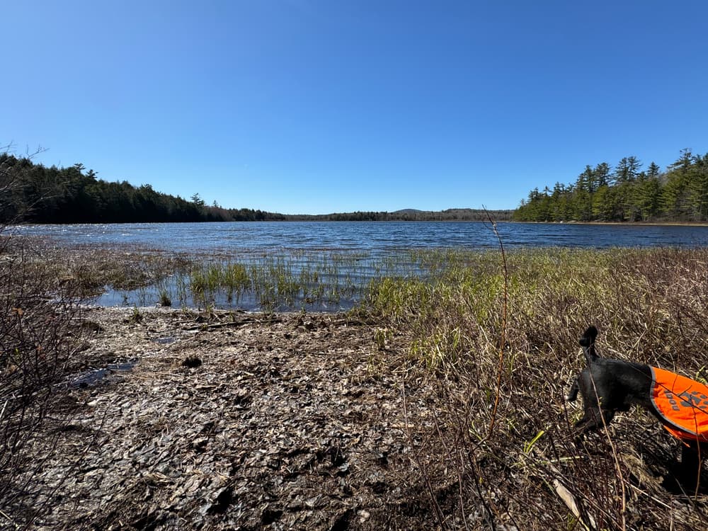
Hothole Pond Trail (1.4 miles, moderate; gravel multi-use trail to footpath): Rolling, grassy Hothole Pond Trail passes through a forest of young deciduous trees, encountering a small quarry, a meadow, and a beaver pond. As you near Hothole Pond, the trail becomes a wooded footpath; where the trail forks, the left spur leads to Hothole Brook, and the right spur to a flat boulder on the scenic pond’s shore.
Mead Mountain Trail (0.7 miles, easy to moderate; gravel multi-use trail): On this gently rolling trail edged with raspberries, you will cross over Hopkins Meadow Brook and come to an end at a log landing.
Mead Mountain Path (0.6 miles, moderate footpath): This path begins at the end of the Mead Mountain Trail and follows the top of the ridge through young hardwoods as it ascends Mead Mountain. Near the end, turn right and drop down through an old spruce stand to a fine clifftop view of Hothole Valley. From the Valley Road, it is a 1.4-mile hike to this overlook.
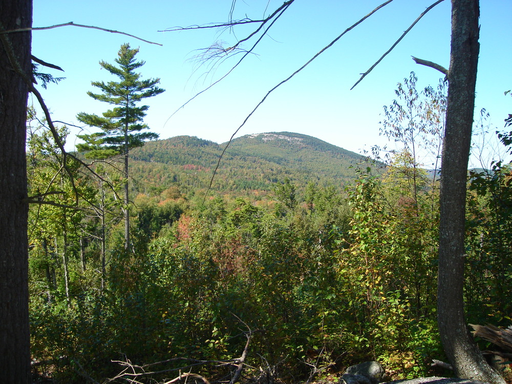
Oak Hill Path (0.4 miles, moderate to strenuous; narrow footpath): Beginning at an intersection at the high shoulder of Hillside Trail, Oak Hill Path rises through mixed hardwoods to the west summit of Oak Hill, with switchbacks ascending the steep hill. After climbing some stone steps, the path then emerges to a grassy, alpine meadow with grand views west to Great Pond and Mead Mountains and Hothole Valley, and looking north from Hothole Pond to Flying Moose Mountain. A second overlook faces Penobscot Bay, with the Penobscot Narrows Bridge and Craig Pond in the foreground. Oak Hill Path joins East Ridge Path at the second overlook.
Red Pine Path (0.4 miles, moderate; footpath): This path departs from Valley Road across from the outhouse near the central parking area, ascending a glacial gravel deposit. A side trail goes through a red pine plantation, then rejoins. The path passes near Cascade Brook, then over a seasonal brook before veering left across the hillside. The path turns right onto an old tote road which comes out on Flag Hill.
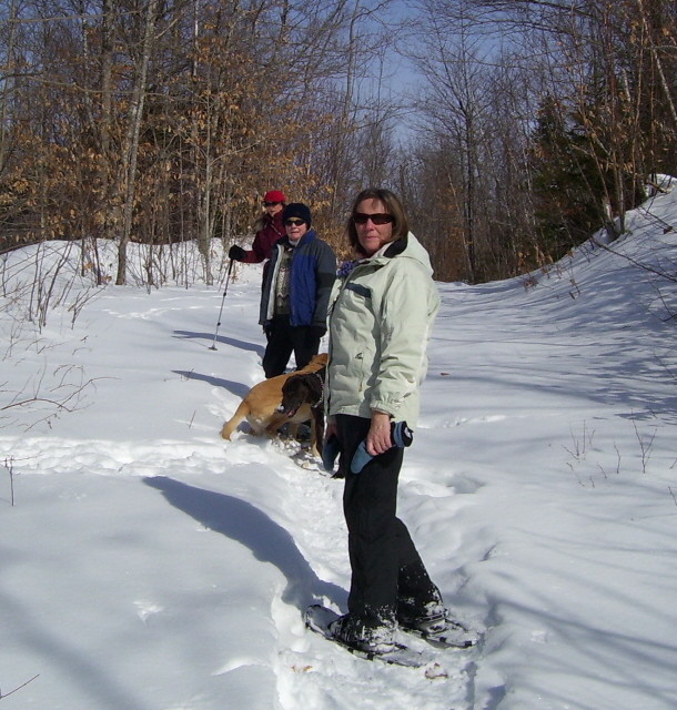
Welcome uses of the Wildlands include hiking, jogging, bicycling, horseback riding, fishing, hunting, photography, nature study, paddling, picnicking, berry-picking, cross-country skiing, snowshoeing, and snowmobiling. No ATVs, dirt bikes or other off-road vehicles are allowed. Snowmobiles are welcome on designated trails. For a map of area trails, please visit the Family Snowmobile Club website. Horseback riders, please avoid footpaths (stay on multi-use trails) and remove droppings from parking lots. Horse trailer parking is available at South Gate and along Valley Road in the Hothole Valley parcel, or at Craig Brook National Fish Hatchery for the Dead River parcel. Riding groups, please contact Great Pond Mountain Conservation Trust (GPMCT) to notify us of a group ride. Bicyclists, please avoid footpaths and stay on multi-use trails.
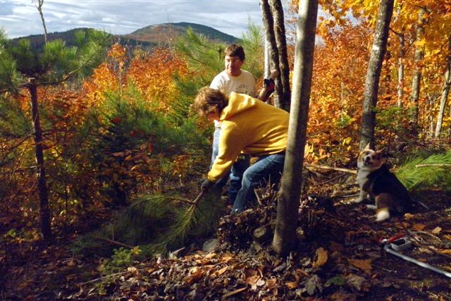
Hunters, please register to hunt by calling GPMCT or emailing info@greatpondtrust.org. Read the Wildlands Hunting Policy on the Trust's website. Geocaching is allowed in the Wildlands. Visit Geocaching.com to locate geocaches on the property. If you want to place a cache, please contact us first about it. Camping and fires are by permission only in two designated campsites, for a small fee. Please go to the trust's website and download its Camping Policy and Registration form and Leave No Trace principles. Groups seeking special permission to have the gates opened or to use the property in a way other than what’s listed above should consult our Wildlands Special Use Policy before contacting us. Please take only pictures and leave only footprints! Berry-picking is allowed, but please do not remove wildflowers or other plants, or animals. Remove all trash. Thanks for keeping the Wildlands wild!
Dogs are allowed on leash only; please protect the wildlife and your dog! Thanks for removing feces from trails, roads and parking lot. Please note: Dogs are not allowed on Hothole Brook Trail or Great Meadow Trail, to protect wildlife areas and corridors.

This trail passes through a property that was acquired in part with funds from the Land for Maine’s Future program. For more information about the LMF program and the places it has helped to protect, please visit the LMF webpage.
Visit Great Pond Mountain Conservation Trust online for more information and a printable map or contact:
![]()
Stay On Designated Trails: Staying on the trail protects fragile plants, keeps you away from hazards like poison ivy and ticks, and helps avoid forestry equipment.
Hothole Valley South Gate is on US-1 in Orland just west of the intersection with ME-176.
Hothole Valley North Gate is off Bald Mountain Road in Orland 0.2 miles west of Winkumpaugh Road.
Parking is available by both the north and south the gates.
Please note: the former inner lot at the Valley Road/Hothole Brook trail junction, as well as the horse trailer parking off Valley Road, are currently closed to vehicles pending bridge repairs.
Success! A new password has been emailed to you.