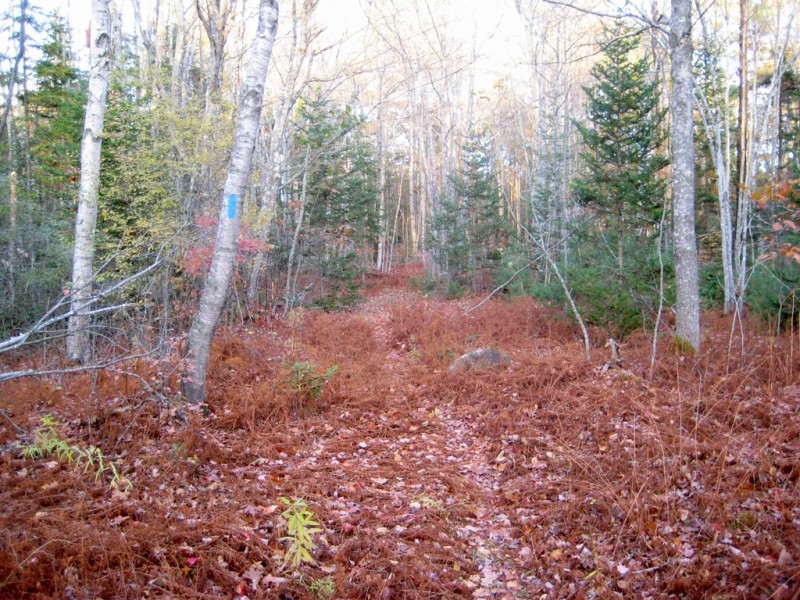
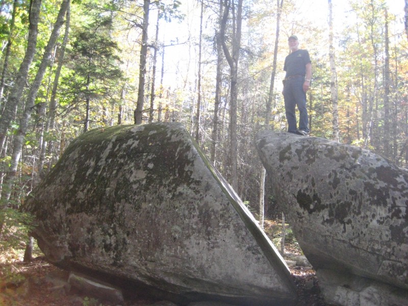
The Thomaston Town Forest section of the Georges Highland Path trail system passes through the 350-acre town forest that lies to the east of the Oyster River. The trail parallels the western boundary of the forest before veering northeast to pass Split Rock, a huge glacial erratic. The trail offers mostly level hiking through mixed and coniferous woods which provide habitat for deer, wild turkey, and moose.
The combination of the Oyster River Bog and Thomaston Town Forest sections of the Georges Highland Path provide a continuous 10-mile hiking experience that connects US Route 1 in Thomaston to ME Route 90 in Rockport.
The Georges Highland Path network of conservation trails is a project of the Georges River Land Trust.
No overnight camping is allowed. Leashed dogs are permitted. Please clean up after your pet! There is a confusing network of active and abandoned woods roads in this area, so be careful to stay on the trail by following the blue blazes.
Harmless mist from the town’s wastewater treatment facility’s dispersal fields occasionally drifts through segments of this trail. The mist can be avoided by hiking on weekends and holidays when the system is shut down, or when there is little or no wind. The system does not operate in the winter months. The water treatment facility benefits both the town and the St. George River by safely and effectively managing wastewater disposal.
Visit Georges River Land Trust online for more information or contact:
Georges River Land TrustParking at the northern end of the trail (Jack Baker Woods lot) is on Beechwood Street in Thomaston. From the US Route 1 stoplight in the center of Thomaston, head north on Beechwood Street for two miles. The Jack Baker Woods parking lot is on the left at the Georges Highland Path trailhead sign.
There are two parking lots available at the southern end of the trail. One is at the Thomaston Pollution Control Plant at the end of Booker Street (off US Route 1), and the other is directly on US Route 1 at the trailhead kiosk on the Thomaston Green, next to the Strong Insurance Agency building.
Success! A new password has been emailed to you.