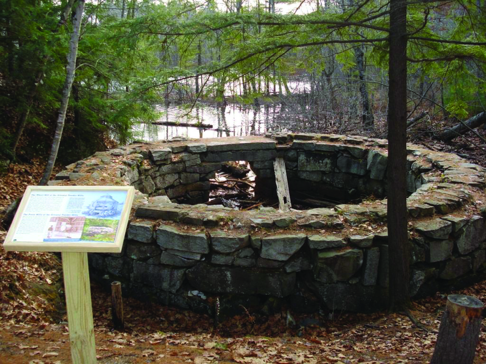
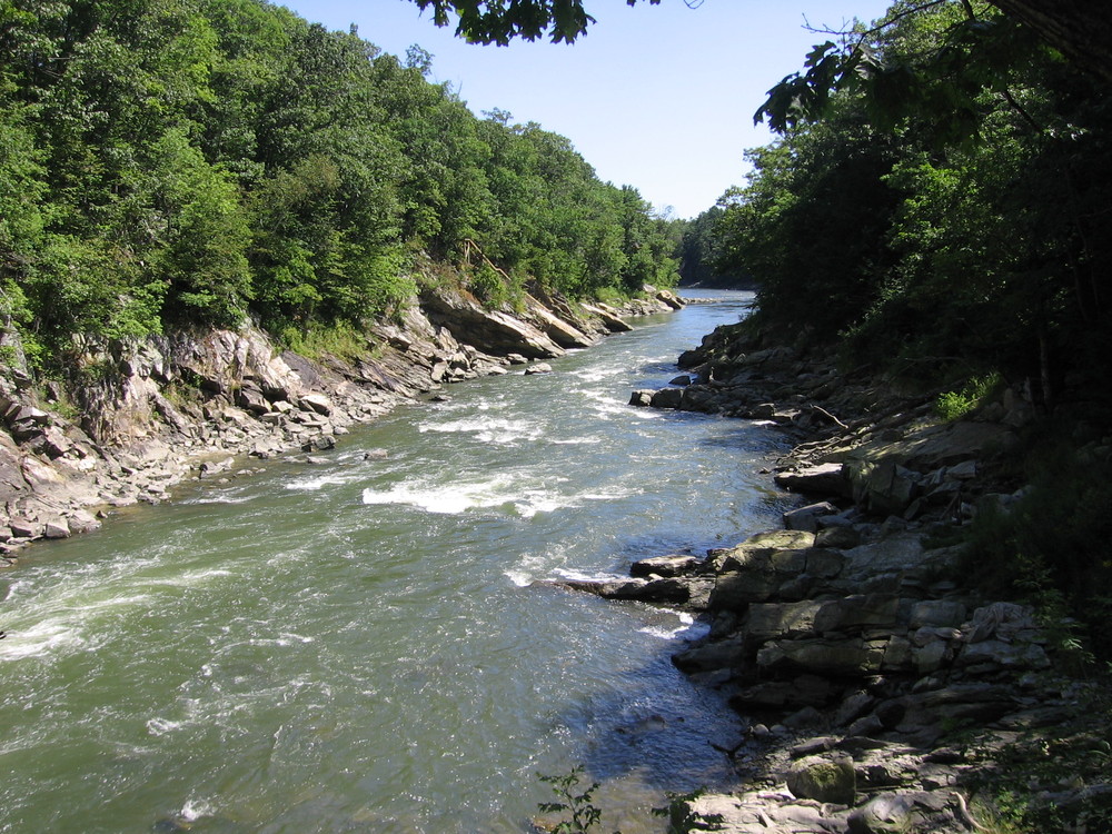
The name “Presumpscot” was believed to have been shared by a local Abenaki village of the same name and translates as “river of many rough places.” Early colonial settlers referred to the river as being “a foot deep in fish.” With increased industrialization and mill development along its banks, the Presumpscot later came to be described as being “a foot deep in foam.”
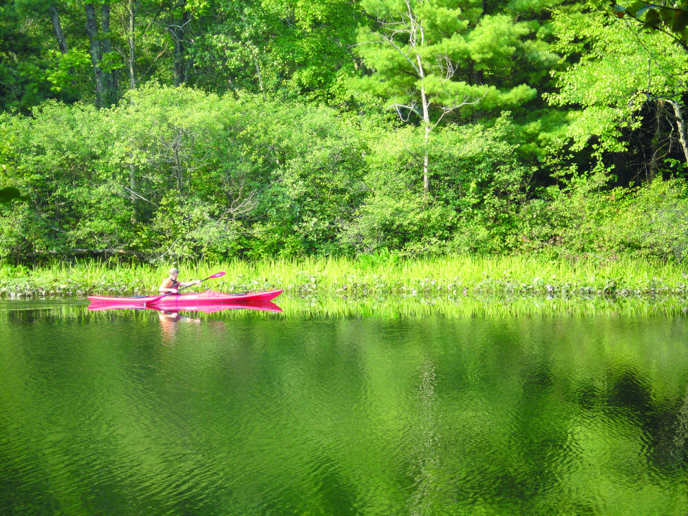
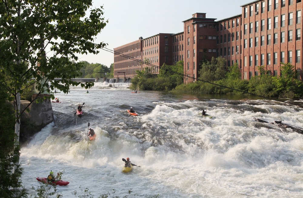
Today, the Presumpscot is a river in recovery. The water is cleaner than it was 50 years ago and migratory fish, including alewife and shad, are returning by the tens of thousands. For the nearly 25% of Mainers living in the greater Portland region, the Presumpscot has become a favorite recreational playground for paddling, swimming, fishing, and shoreline hiking and snowshoeing.
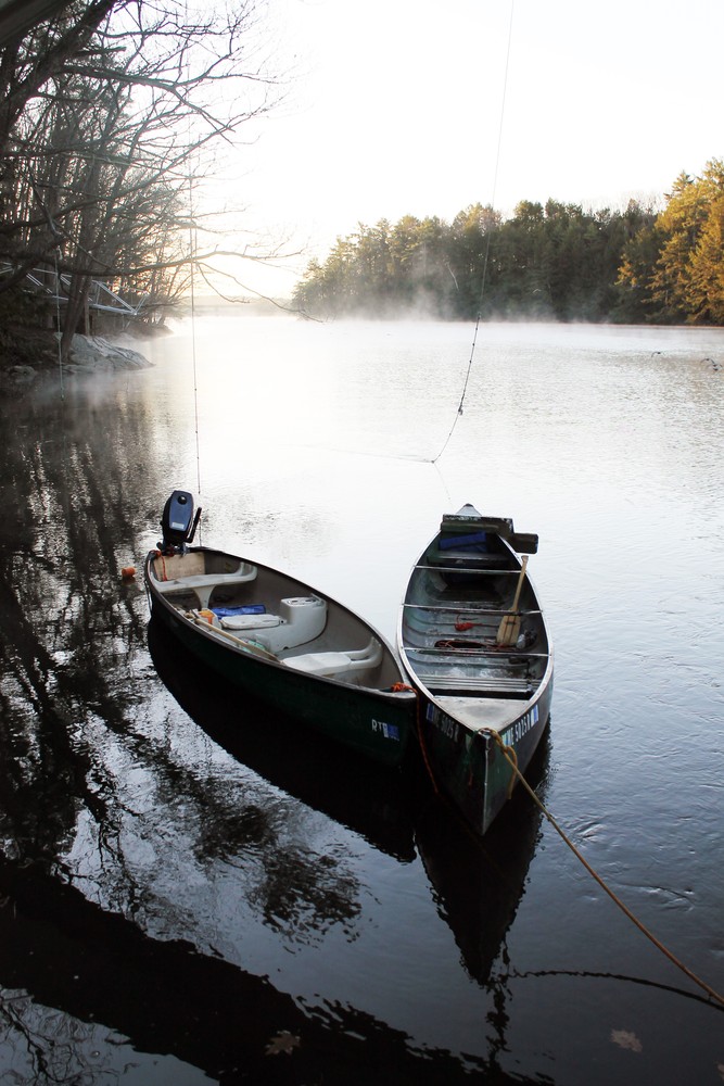
Currently, nine dams are located along the Presumpscot creating flat water paddling conditions upstream and swifter water sections downstream. Choose a short section to explore for a day trip, or paddle and portage the entire route from origin to coastal estuary.
Note: In the summer of 2019, the Saccarappa Dam in Westbrook was removed, impacting water levels upstream, possibly as far up as Mallison Falls Dam. Please be aware that the river geomorphology may change here significantly as the river readjusts. At this time, it may be preferable to paddle the other sections of the Presumpscot River.
More information about the paddling route, including access points, hazards, and historic attractions can be found on the Presumpscot River Paddling Map & Guide, which is available from the Casco Bay Estuary Partnership (email: cbep@usm.maine.edu). In order to safely experience the Presumpscot River Water Trail, please bring the map with you on your trip. Maine Trail Finder is not intended to be a comprehensive resource along this trail.
Visit the Casco Bay Estuary Partnership online for a map and more information, or contact the Presumpscot Regional Land Trust:
Presumpscot Regional Land TrustSuccess! A new password has been emailed to you.