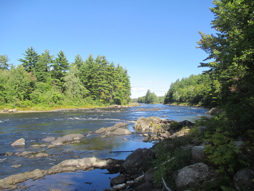
This 12-mile paddling trail along the East Branch of the Penobscot between Whetstone Falls and Grindstone Falls features long stretches of smooth lazy water with ample opportunity for wildlife viewing.
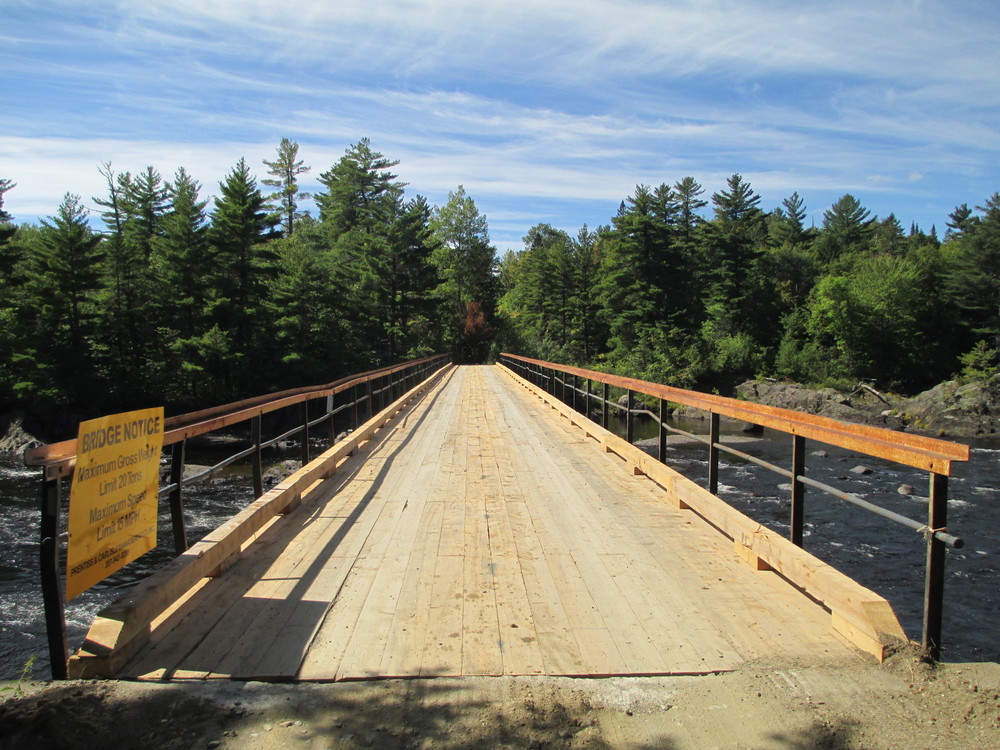
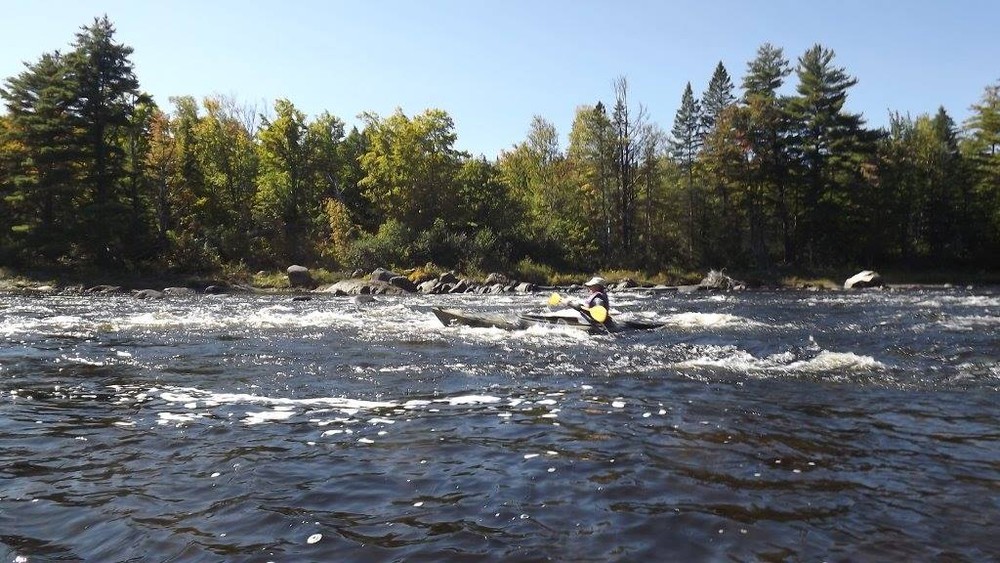
The put-in below Whetstone Falls is accessed from the parking area just below the logging bridge. A pit toilet and tent site on the opposite side of the road are available here. For those paddlers who are continuing downriver from the Thoreau-Wabanaki Trail, either run Whetstone Falls (Class III) or take the short portage on river left and put back in below the bridge.
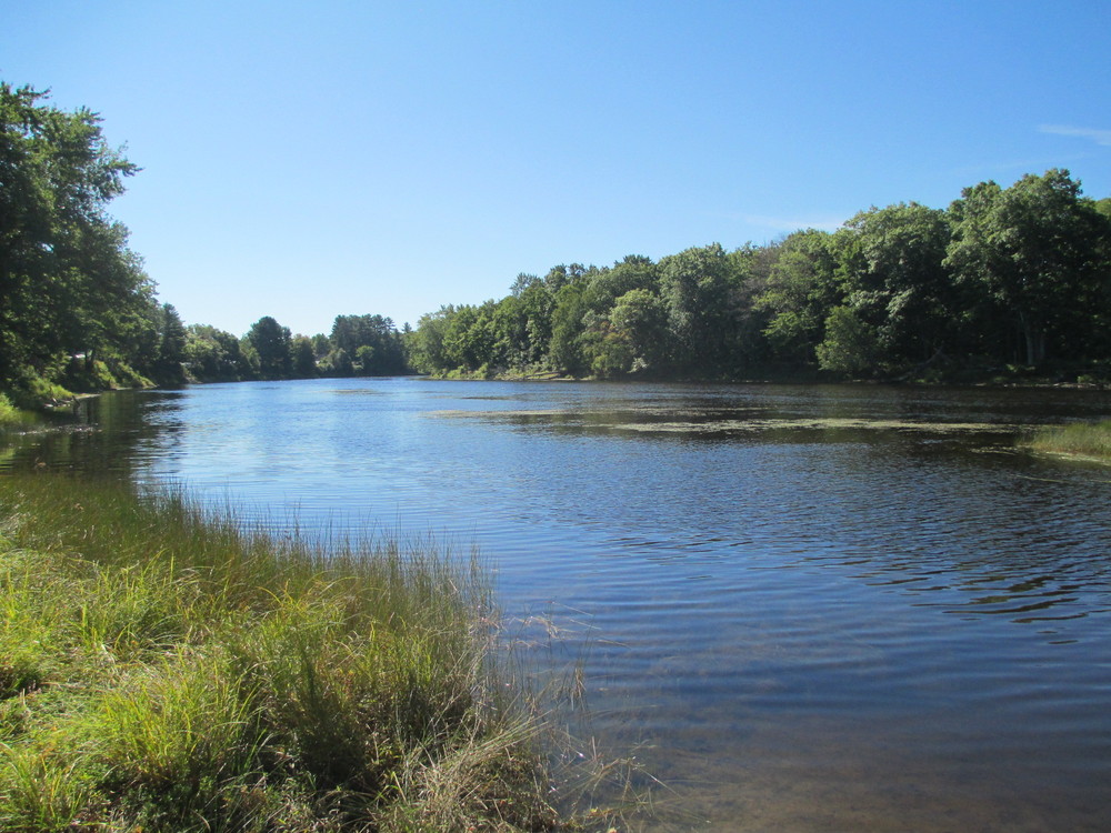
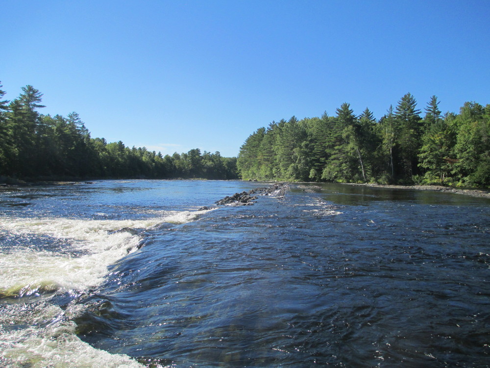
Below Whetstone Falls, the East Branch of the Penobscot becomes calm and wide, winding its way 9 miles south to Hay Brook where there is a small public boat launch. In another mile, the East Branch descends over Crowfoot Falls, a short Class II drop. Grindstone Falls begins 2 miles below Crowfoot Falls.
Just above Grindstone Falls a State Rest Area on ME-11 provides a good take-out location.
To continue downriver on the East Branch of the Penobscot between Grindstone and Medway, either run Grindstone Falls (Class II+) or portage around the falls on the Grindstone Falls Trail.
Changes in water level will significantly alter the condition of this paddling trail. Some portions may be unrunnable in low water conditions. Some whitewater experience recommended.
For more information please contact Katahdin Area Trails or Katahdin Woods and Waters National Monument.
![]()

Respect Maine’s “Open Land” Tradition: In many places, private landowners allow recreational access. Show your appreciation by seeking permission, treading carefully, and educating yourself on this uniquely Maine tradition.
To Whetstone Falls put-in: [CAUTION- Private Logging Roads: Stay alert and yield to company vehicles on these narrow roads] From Sherman, travel south on ME-11 for 5 miles to Stacyville. Here the paved ME-11 makes a hard left turn at its junction with the unpaved Swift Brook Road. From ME-11, continue straight through this junction onto Swift Brook Road/Stacyville Road. In just over 4 miles Swiftbrook Road/Stacyville Road comes to an unsigned junction with a road from the left. Do not turn here; continue straight for another mile to a second junction on a downhill turn. Here, the main road curves sharply to the left, while a second road continues slightly right and directly down the hill. Bear left (south) towards Whetstone Falls and the Katahdin Loop Road. In 2 miles turn off to the left into the parking area immediately before the Whetstone Falls Bridge.
To Grindstone Falls take-out: The Grindstone Falls hand-carry boat launch is located at the Grindstone Falls Rest Area on ME-11, 9 miles north of Medway and 16 miles south of Sherman.
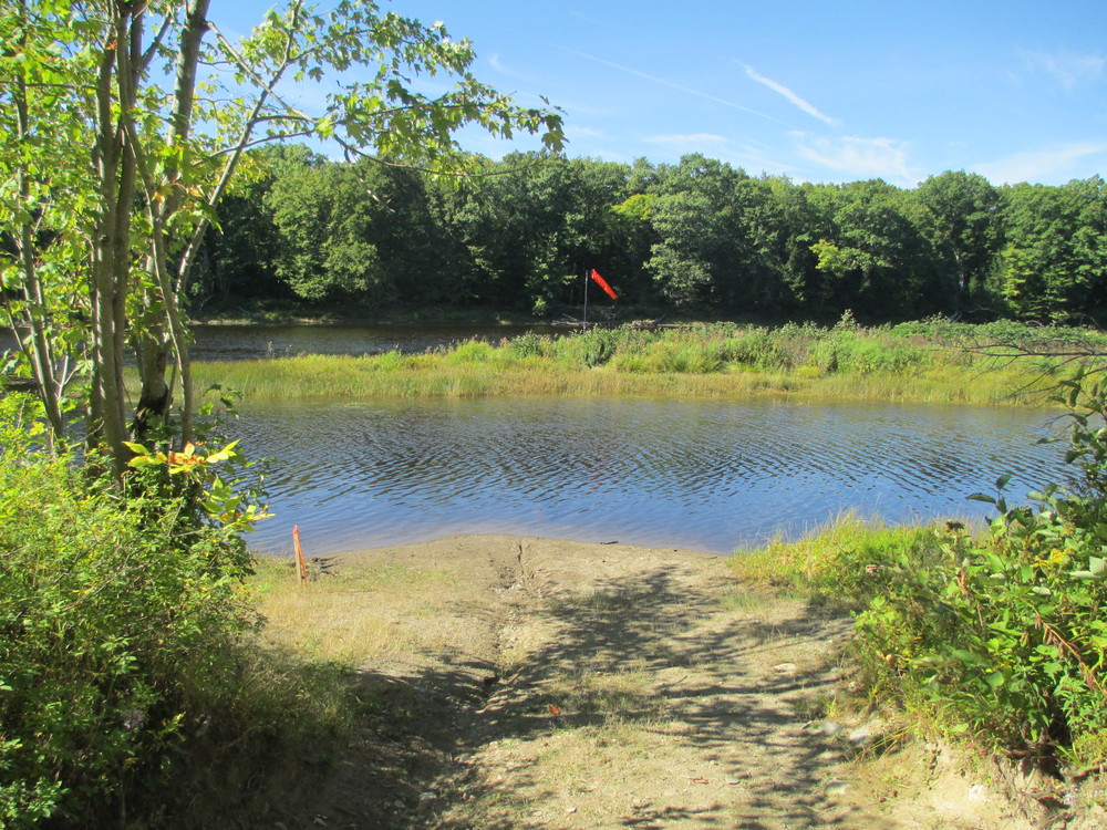
To optional Hay Brook put-in/take-out: From Grindstone Falls Rest Area on ME-11, travel 3 miles north and turn left onto an improved dirt logging road with a metal gate and a wide pull-out area. The access to the boat launch is within 30 meters of ME-11, on the left before passing through the logging gate and fully visible from the highway.
Success! A new password has been emailed to you.