Cobscook Shores - Mays Brook Cove

Trail Overview

A quarter-mile trail offers access to the shore and a picnic pavilion with views of the bay.
There are no photos saved for this trail yet.   Add a Photo
Trail Activity
Hiking Walking
Length
0.40 miles, Round Trip
Difficulty
Easy
Town
Lubec
Surface
Dirt/Forest Floor
Pets
Permitted on leash
Fees
No
There are no photos saved for this trail yet.   Add a Photo

Description

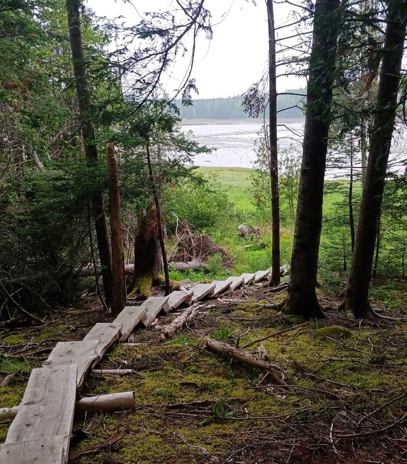
The Cedars Trail descends through old growth cedar to the grassy shores of South Bay. This is the southern end of the Bay near the mouth of Mays Brook, a small tributary. There is a screened picnic pavilion located at the end of the Cedars Trail that offers views across South Bay to the mouth of Kelsey’s Brook, as well as access to the shoreline.

Other Information

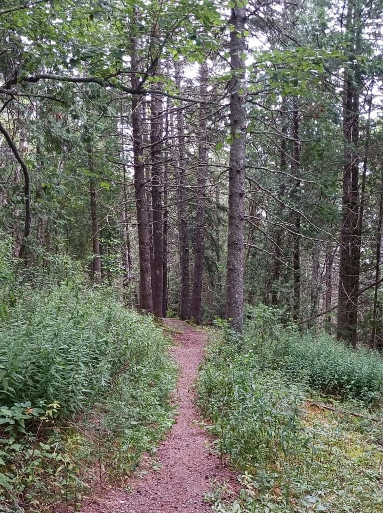
Mays Brook Cove is open dawn to dusk, from May to October. It is a part of Cobscook Shores, a system of fifteen waterfront parks that are privately owned and/or maintained by Cobscook Shores INC., a family funded Maine charitable foundation. The parklands offer public access and recreational use including walking, picnicking, hiking, biking, camping, and paddling in Cobscook Bay.

GUIDELINES

  • Visitors shall respect the quiet enjoyment of nature. 
  • Please, no radios, drones, or loud noise.
  • No RVs or other large vehicles in the parking lot.
  • Paddlers are welcome; no motorboats please, except for clamming access.
  • Leashed dogs are welcome. Please clean up after your dog. Dog waste can cause clam flat closures, help us protect water quality and livelihoods. All other pets are prohibited.
  • We are a carry in/carry out facility. Leave no trace.
  • Fires are prohibited.
  • Picnicking is encouraged. All food, drink, and other waste must be carried out.
  • It would be very much appreciated if visitors would remove debris from trail and trash inadvertently dropped by other visitors.

Trail Manager

For additional information, visit the Cobscook Shores website, or contact: 

Cobscook Shores

Cobscook Shores
65 N Lubec Road
Lubec, ME 04652
admin@cobscookshores.org
View website

Nearby Events

VIEW EVENTS CALENDAR

Trail Tips

Plan Ahead and Prepare
Know your limits – it’s okay to turn back. Your home is the ultimate destination, not the summit.
Legend
Hide All

Trailhead Information

From Lubec, go 5 miles west on ME-189 to Crows Neck Road on the right; from US-1 in Whiting, go 5.6 miles east n ME-189 to Crows Neck Road on the left. Go 0.4 miles on Crows Neck Road, then turn right on Lead Mine Road. The parking lot at the trailhead is 0.7 miles up Lead Mine Road on the right.

Click on a parking icon to get custom directions
Please Log In or Create Account to add comments.
These awesome businesses support our goal of connecting people to outdoor adventures in Maine!
Hang Tight!
Nearby services are loading
No Results
No Services Found
SHARE THIS TRAIL

Add Trail Log

Please wait…
Join In on the Fun!
Log in or create an account below to unlock all the great features of Maine trail finder: keep track of trails you want to do, preserve memories of trails you’ve done, earn badges, and more!
Your log in attempt was not successful. Please try again.
    Lost your password? Reset your password
    Don't yet have an account?
    There was an issue with your submission. Please try again.
      * Indicates required field
      Already have an account? Login here
      Enter your username, and we will send you a new, randomly generated password to your email account.
      There was an issue with your submission. Please try again.

        Success! A new password has been emailed to you.

        Log in now

        Please wait…