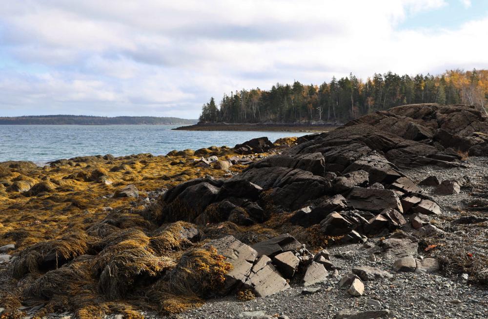
This preserve includes forests, low-lying wetlands, and an undeveloped shoreline along both the South Bay and Morrison Cove sides. The predominant forest cover is red spruce and northern white cedar; it’s interspersed with mature sugar maples and loads of apple trees. Ruffed grouse, red fox, moose and deer are often found on the property. Eagles, loons, and shore birds can be observed as they stop to feed or rest.
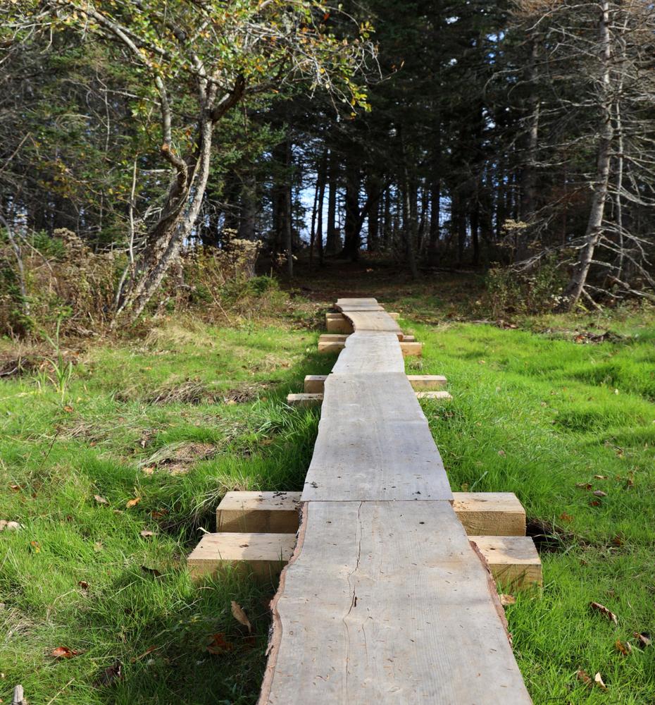
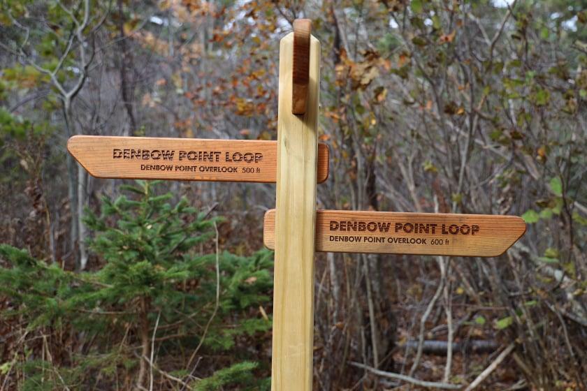
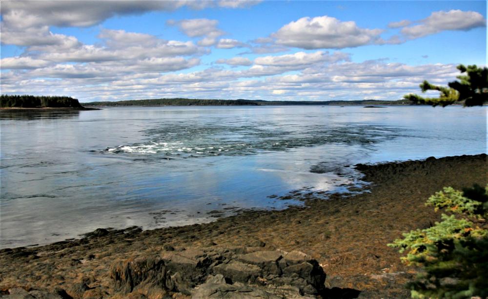
The trail extends up the length of the peninsula with a loop at its end. It offers views on either side of Denbow Point out into Young’s Cove and Cobscook Bay to the East, and Downeast Coastal Conservancy’s Reversing Falls Preserve and Leighton Point to the West. Benches placed along the trail provide a stunning 270 degree views of dramatic tides surging over the intertidal ledges.
An easy kayak portage at a narrow point provides safe passage between Straight Bay and South Bay and avoids the dangerous tidal rips at the end of the Point.
Denbow Point is open dusk to dawn, from May to October. It is both part of the Cobscook Shores Park System and a Downeast Coastal Conservancy Preserve.
PRESERVE BACKGROUND
In 2000, the late Dr. Mark Boyer conveyed this stunning peninsula to The Nature Conservancy (TNC). TNC later transferred the property to Quoddy Regional Land Trust, predecessor of the Downeast Coastal Conservancy (DCC). TNC retained a conservation easement that ensured an additional layer of land protection. From that easement began a lasting partnership between DCC and TNC. In 2021, the Butler Conservation Fund awarded DCC a grant to build a parking lot, information area, and a trail leading to the end of the peninsula.
GUIDELINES
The Downeast Coastal Conservancy owns this property, and the trails are managed by Cobscook Shores. For more information about the trails, visit the Cobscook Shores website, or contact:
![]()

If You Pack It In, Pack It Out: Carry out all trash, including food scraps and biodegradable waste like fruit peels. Bonus points for packing out trash you find along the way.
Go 5 miles west on ME-189, from it's intersection with Washington Street in Lubec, to it's intersection with Crows Neck Road on the right. Or, go 5.6 miles east on ME-189 from it's intersection with US-1 in Whiting, to Crows Neck Road on the left.
Head north on Crows Neck Road for 0.4 miles and turn right on Lead Mine Road, then after just 0.2 miles turn left on Straight Bay Road. Continue 4.8 miles north to the parking lot at the trailhead (0.1 miles past the entrance for Denbow Bluffs).
Success! A new password has been emailed to you.