Cobscook Shores - South Bay Narrows

Short trails provide easy access for picnicking or exploring the shoreline.
Trail Activity
Hiking Walking Mountain-biking
Length
0.60 miles, Loop
Difficulty
Easy
Town
Lubec
Surface
Dirt/Forest Floor, Gravel/Crushed Stone
Pets
Permitted on leash
Fees
No

Description

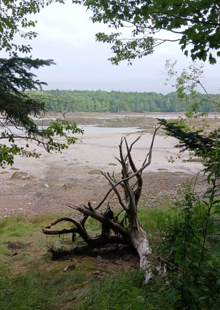
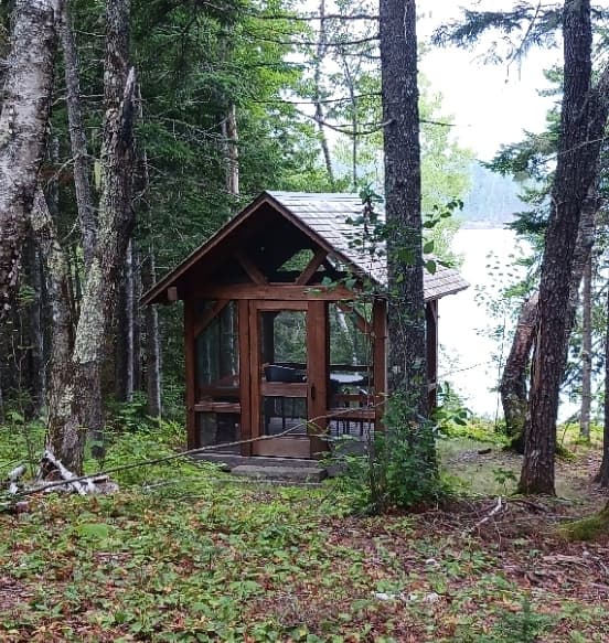
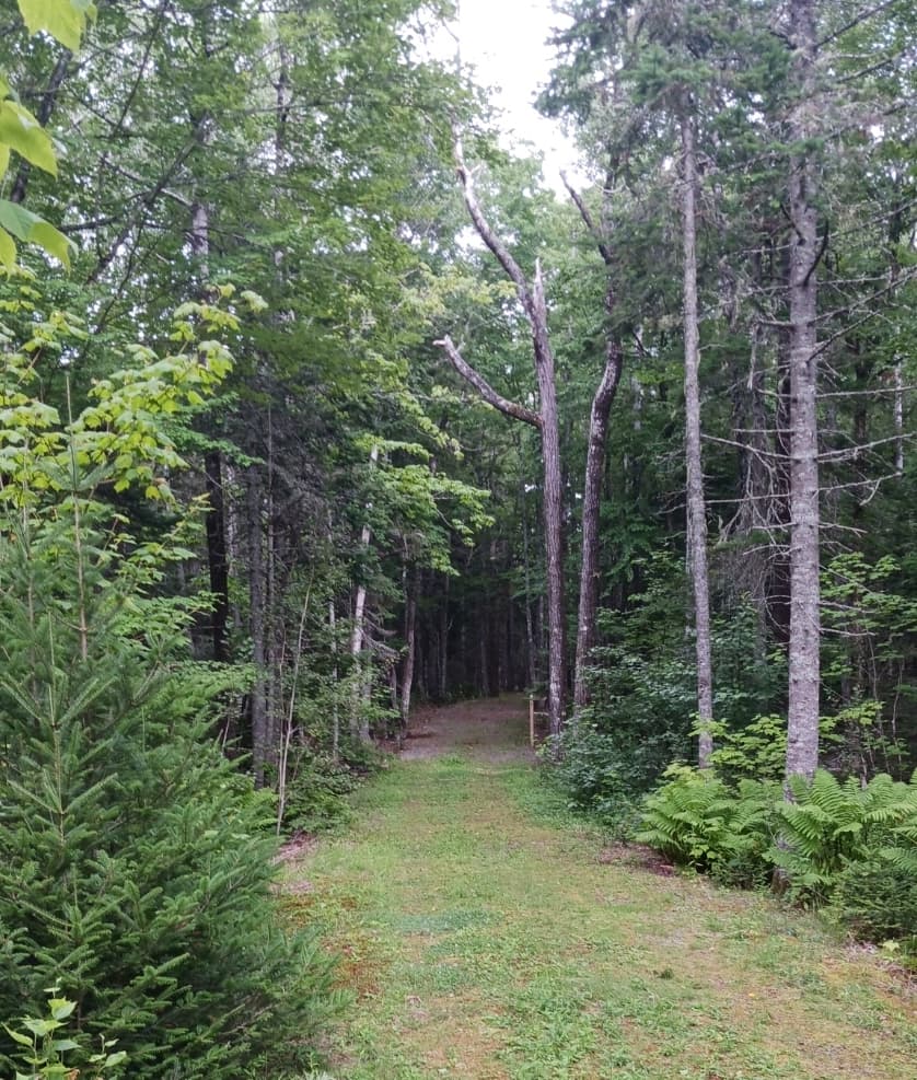
The Narrows Trail, which may be hiked or biked, is a grassy old gravel road that leads under a quarter-mile from the trailhead to the screened-in Narrows Picnic Pavilion, and then just beyond to the shore of South Bay. The Narrows Picnic Pavilion offers a long view east across South Bay, with Red Point in the foreground and Scrub Island in the distance.

The 0.4-mile South Bay Loop Trail follows the shoreline from the Narrows Picnic Pavilion south to overlooks and water access. The trail then turns inland through a maple-spruce forest and old apple orchards, then meeting back up with the Narrows Trail near the trailhead.

Other Information

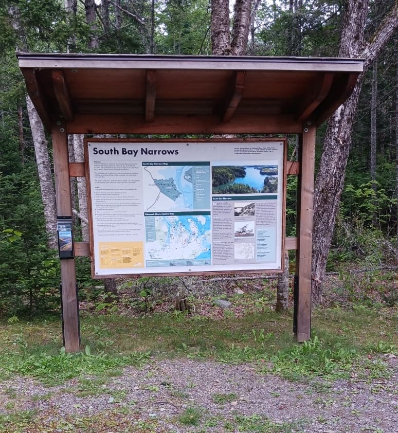
South Bay Narrows is open dusk to dawn, from May to October. It is a part of Cobscook Shores, a system of fifteen waterfront parks that are privately owned and/or maintained by Cobscook Shores INC., a family funded Maine charitable foundation. The parklands offer public access and recreational use including walking, picnicking, hiking, biking, camping, and paddling in Cobscook Bay.

GUIDELINES

  • Visitors shall respect the quiet enjoyment of nature. 
  • Please, no radios, drones, or loud noise.
  • No RVs or other large vehicles in the parking lot.
  • Paddlers are welcome; no motorboats, except for clamming access.
  • Leashed dogs are welcome. Please clean up after your dog. Dog waste can cause clam flat closures, help us protect water quality and livelihoods. All other pets are prohibited.
  • We are a carry in/carry out facility. Leave no trace.
  • Fires are prohibited.
  • Picnicking is encouraged. All food, drink, and other waste must be carried out.
  • It would be very much appreciated if visitors would remove debris from trail and trash inadvertently dropped by other visitors.

Trail Manager

For additional information, visit the Cobscook Shores website, or contact: 

Cobscook Shores

Cobscook Shores
65 N Lubec Road
Lubec, ME 04652
admin@cobscookshores.org
View website

Nearby Events

VIEW EVENTS CALENDAR

Trail Tips

Be Considerate of Other Visitors
Be aware of and limit the noise you and your group generate. Enjoy the sounds of nature.
Legend
Hide All

Trailhead Information

Go 5 miles west on ME-189, from it's intersection with Washington Street in Lubec, to it's intersection with Crows Neck Road on the right. Or, go 5.6 miles east on ME-189 from it's intersection with US-1 in Whiting, to Crows Neck Road on the left.

Head north on Crows Neck Road for 0.4 miles, then turn right on Lead Mine Road. Go 1.3 miles to the parking lot for the trailhead on the right.

Click on a parking icon to get custom directions
Please Log In or Create Account to add comments.
These awesome businesses support our goal of connecting people to outdoor adventures in Maine!
Hang Tight!
Nearby services are loading
No Results
No Services Found
SHARE THIS TRAIL

Add Trail Log

Please wait…
Join In on the Fun!
Log in or create an account below to unlock all the great features of Maine trail finder: keep track of trails you want to do, preserve memories of trails you’ve done, earn badges, and more!
Your log in attempt was not successful. Please try again.
    Lost your password? Reset your password
    Don't yet have an account?
    There was an issue with your submission. Please try again.
      * Indicates required field
      Already have an account? Login here
      Enter your username, and we will send you a new, randomly generated password to your email account.
      There was an issue with your submission. Please try again.

        Success! A new password has been emailed to you.

        Log in now

        Please wait…