West Branch Penobscot River - Pockwockamus Falls to Ambajejus Lake

Remote, less-visited section of the West Branch Penobscot River characterized by long stretches of deadwater punctuated by several falls.
Trail Activity
Paddling
Length
9.60 miles, One Way
Difficulty
Advanced
Towns
T2 R10 WELS, T2 R9 WELS
Surface
Water - River/Stream, Water - Lake/Pond
Pets
Permitted
Fees
Yes

Description

The West Branch Penobscot River is an attractive, remote waterway. Access to the river is limited by its remoteness. Visitors are responsible for their own safety. Plan ahead and research the area to ensure a safe and enjoyable trip.

This 9.3-mile section of the West Branch Penobscot River can be completed in one long day with a shuttle, or creatively explored from one of the many different boat launches. While the segment of river above this one is popular with whitewater rafters and kayakers, this section is better suited for the casual paddler, with a few mandatory portages.

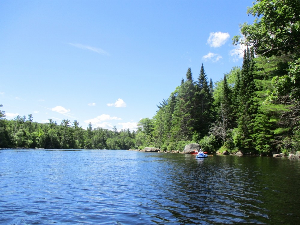
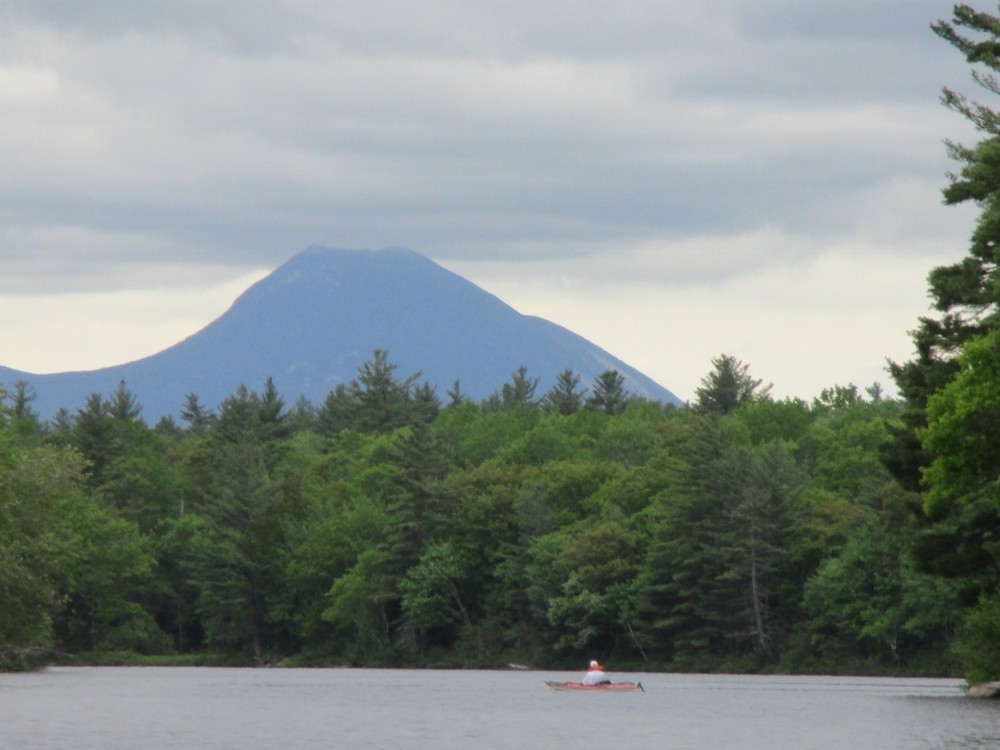
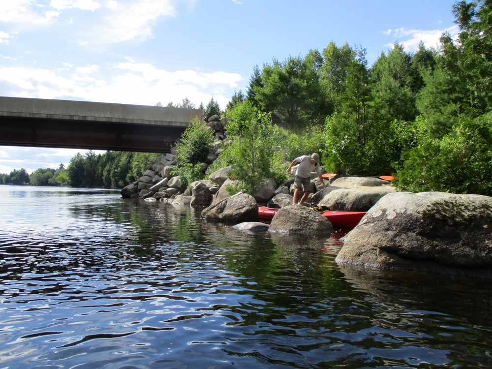
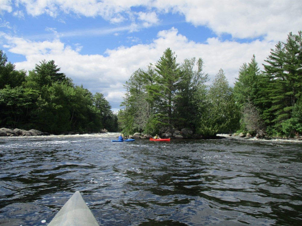
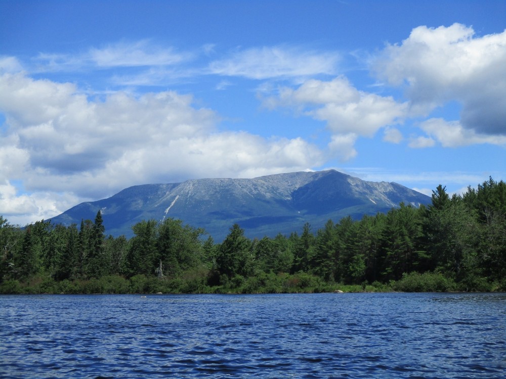
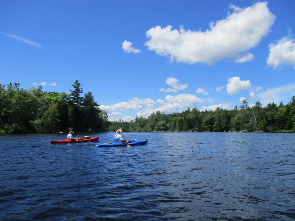
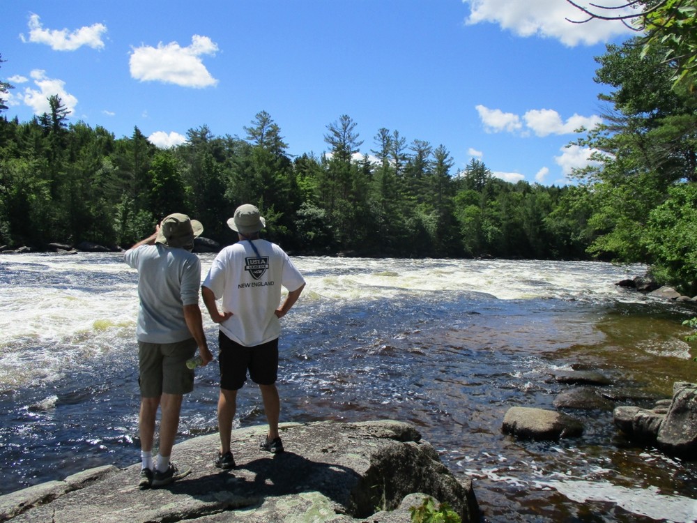
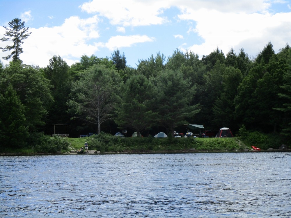
This section of river has three falls, each with a portage: Pockwockamus Falls (Class IV, upstream of the boat launch), Debsconeag Falls (dangerous Class V), and Passamagamet Falls (Class II-III). Paddling the long stretches of deadwater between each of the falls is a good option for visitors without a shuttle. The many side channels and quiet backwaters provide some of the best opportunity for wildlife watching in the region. There are also three lakes/ponds (River Pond, First Debsconeag Lake, Passamagamet Lake) connected to this section of river for extended exploration; see the Maine Trail Finder connector trails postings more information.

Other Information

Maine Bureau of Public Lands charges a modest fee for overnight camping in the Penobscot River Corridor. There is no fee for access to the area for day use. More information here

Trail Manager

For more information, please contact the Maine Bureau of Parks and Lands- Penobscot River Corridor.

Maine Bureau of Parks and Lands, Penobscot River Corridor

Maine Bureau of Parks and Lands, Penobscot River Corridor
P.O. Box 655
Millinocket, ME 04462
Phone: (207) 592-1153 (Apr-Nov) (207) 941-4014 (Dec- Mar)
View website

Nearby Events

VIEW EVENTS CALENDAR

Trail Tips

Respect Wildlife
Avoid unwanted animal guests: store your food and trash securely and keep your camp clean of crumbs and spills.
Legend
Hide All

Trailhead Information

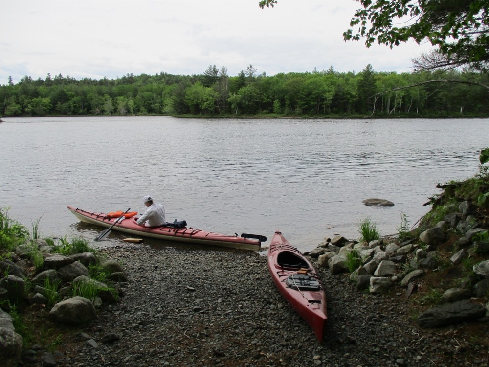
To access the following boat launches, from Millinocket travel about 10 miles northwest on the Baxter Park Road and turn left at the junction marked "Allagash." This short connecting road quickly comes to the Golden Road; turn right here.

  • To the Pockwockamus Falls hand-carry boat launch: After 8.9 miles on the Golden Road, cross Abol Bridge on the Golden Road and then immediately turn left onto Hurd Pond Road. Continue on this road for about 1.8 miles to the unmarked parking area on the left.
  • To the Nevers Corner hand-carry boat launch: After 7.1 miles on the Golden Road, turn left onto a unsigned secondary road (if you reach Abol Bridge, you have gone too far). Nevers Corner is about 0.6 miles down this road.
  • To Debsconeag Deadwater boat launch, HIGH CENTER VEHICLES ONLY: Travel about 3.7 miles on the Golden Road and turn left onto the road marked "Debsconeag Area 4.5 Miles." This very rough road, not suitable for most vehicles, goes about 3.5 miles directly to the boat launch.
  • To Omaha Beach hand-carry boat launch, HIGH CENTER VEHICLES ONLY: Travel about 3.7 miles on the Golden Road and turn left onto the road marked "Debsconeag Area 4.5 Miles." Travel this very rough road, not suitable for most vehicles, about 2.6 miles; at a triangular campsite sign for "Omaha Beach," turn left and travel to the end of the road.
  • To the Grant Brook Road Bridge hand-carry boat launch: Travel 1.3 miles on the Golden Road and turn left onto the unsigned "Grant Brook Road." Continue on this road 2.7 miles to the bridge.
Click on a parking icon to get custom directions
Please Log In or Create Account to add comments.
These awesome businesses support our goal of connecting people to outdoor adventures in Maine!
Hang Tight!
Nearby services are loading
No Results
No Services Found

Trail Alerts

Safety
Be a Safe and Respectful Paddler
Paddling conditions will vary according to the weather and season, so always exercise caution and always wear a lifejacket. With good judgment and proper equipment, the risk associated with paddling can be minimized. Respect the natural world and the rights of landowners, and be considerate of other outdoor enthusiasts. Paddlers should seek to avoid causing erosion, trampling vegetation, disturbing wildlife, and harming water quality.
Roads
Remote Access
This part of Maine has poor signage and GPS driving directions can be misleading. Mobile phone use may also be limited. First time visitors should carry a map and printed directions.
SHARE THIS TRAIL

Add Trail Log

Please wait…
Join In on the Fun!
Log in or create an account below to unlock all the great features of Maine trail finder: keep track of trails you want to do, preserve memories of trails you’ve done, earn badges, and more!
Your log in attempt was not successful. Please try again.
    Lost your password? Reset your password
    Don't yet have an account?
    There was an issue with your submission. Please try again.
      * Indicates required field
      Already have an account? Login here
      Enter your username, and we will send you a new, randomly generated password to your email account.
      There was an issue with your submission. Please try again.

        Success! A new password has been emailed to you.

        Log in now

        Please wait…