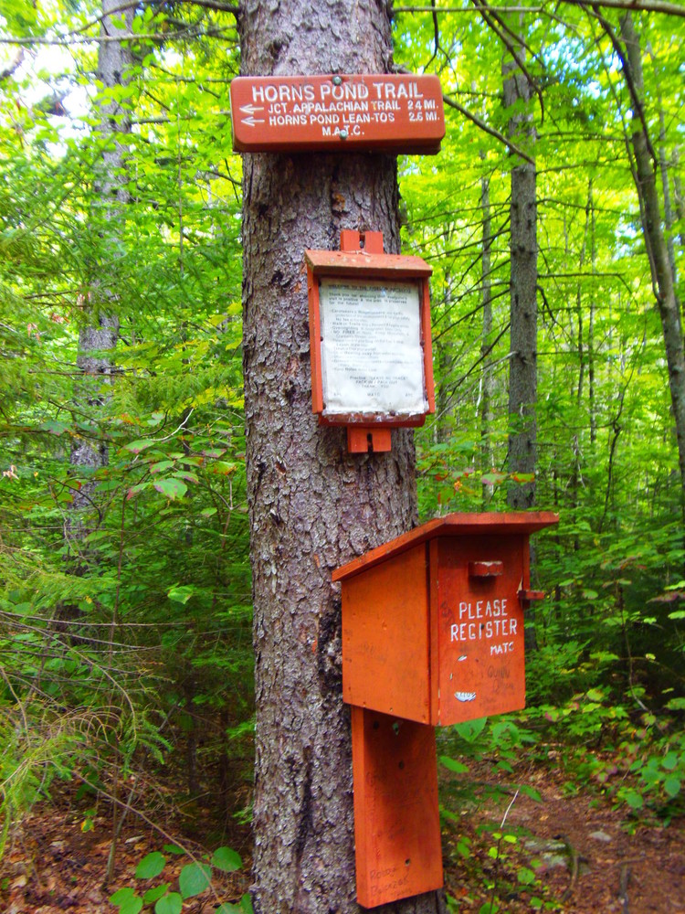
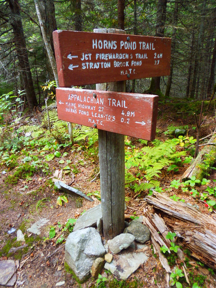
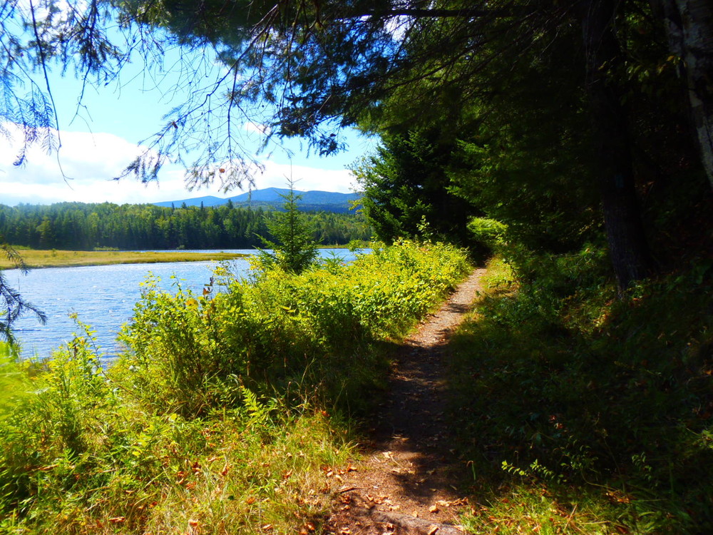
The Fire Warden's Trail (4.6 miles) intersects the Appalachian Trail at Bigelow Col (the lowest point between two peaks) and provides the shortest route to Avery Peak or West Peak from the south side of the Bigelow Range. Follow Stratton Brook Pond Road 0.4 mile east to Stratton Brook, the outlet of the pond, and another 0.4 mile east to the fork. Take the north fork (left) 0.3 miles to the old trailhead clearing. The trail bears northeast along an old tote road and ascends gradually 1.2 miles until the Horn's Pond Trail diverges left. Moose Falls Campsite is located about 1 mile further up the Fire Warden's Trail. Shortly after this the trail ascends steeply for the last 0.7 mile until the Fire Warden's Trail ends at the Bigelow Col (3815').
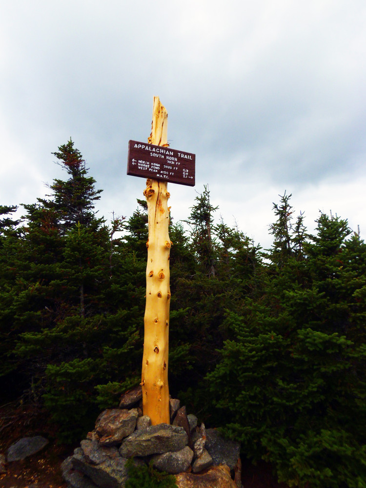
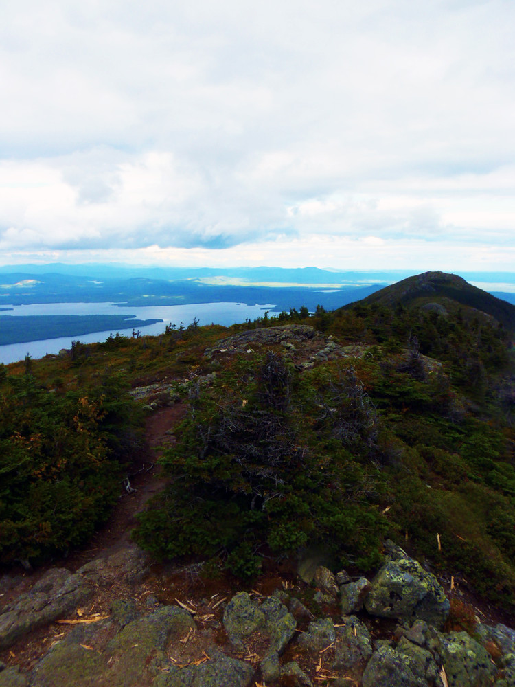
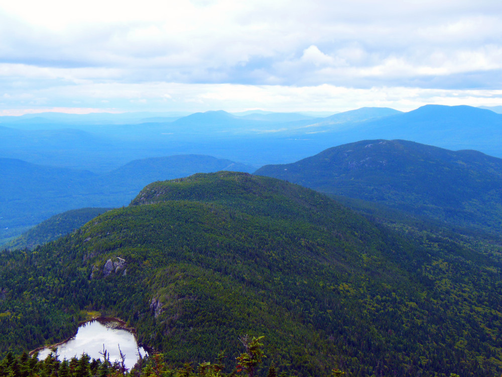
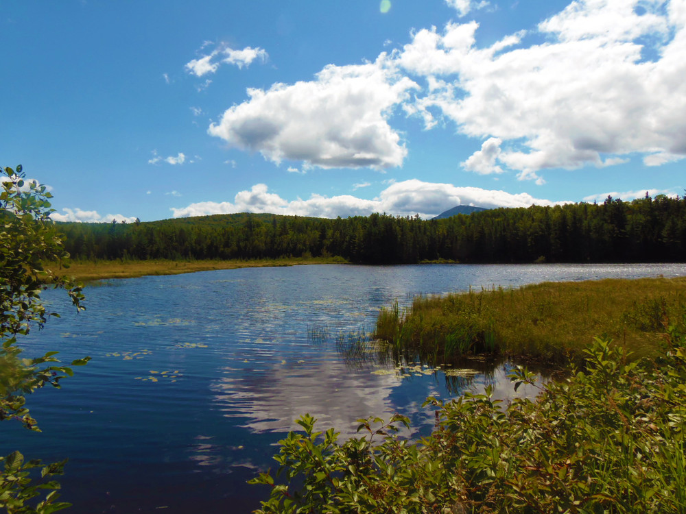
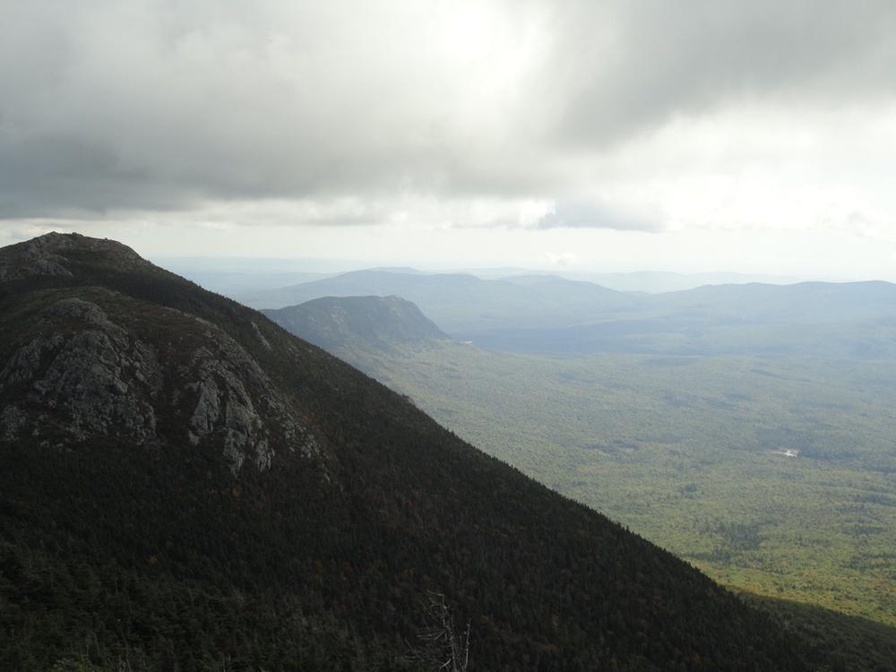
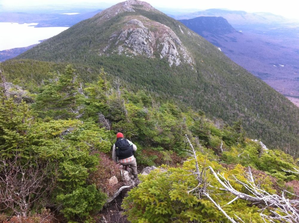
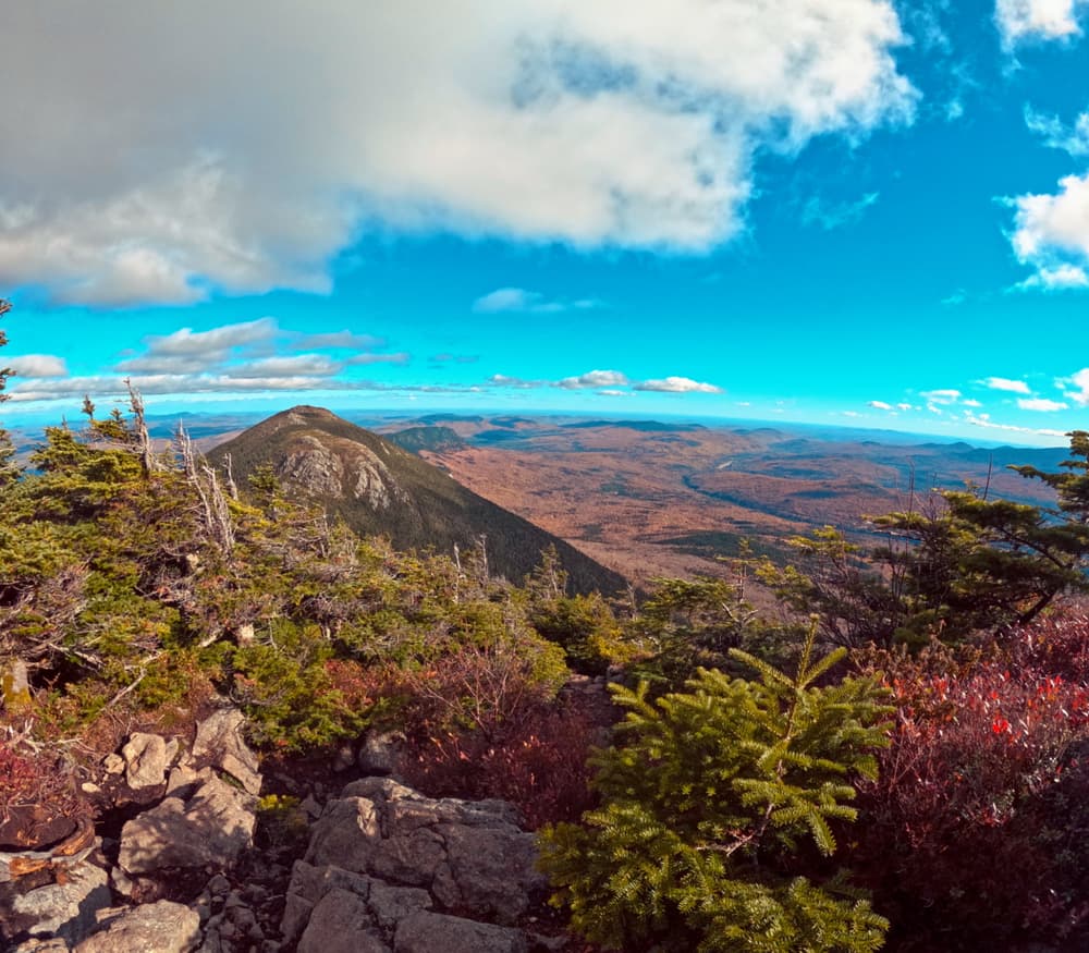
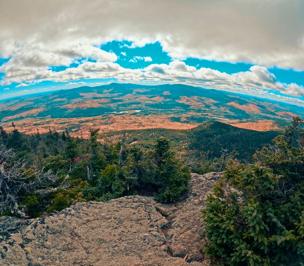
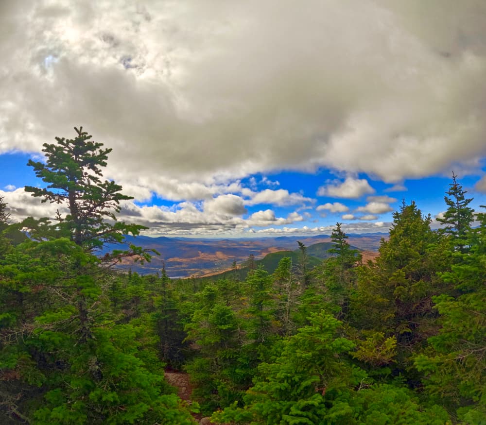
The next leg of this loop is a 3.1 miles on the Appalachian Trail. From the Fire Warden and A.T. trail intersection, turn left (southbound) onto the A.T. The trail climbs to the open summit of West Peak (4145') with magnificent 360 degree views. After descending from West Peak, the trail starts the climbing again up the conical South Horn (3805'). From the small clearing of this summit, Horns Pond, a tarn (small mountain pond) can be seen directly below and to the west. An option while on the summit of South Horn is to visit North Horn (3792') 0.2 mile away. Continuing with the loop begin the steep descent to the pond. In 0.5 mile, hikers will come to the original CCC lean-to which has been converted to a day use lean-to for visitors. Another tenth of a mile brings the users to the junction of the A.T. and the Horns Pond Trail.
The return of this loop begins with a left turn from the A.T. down the Horns Pond Trail (2.4 miles). Descend gradually for about 1.1 miles, skirt a beaver pond, hike through a magnificent stand of spruce and descend gradually through some hardwoods.
Upon reaching the junction of the Horns Pond Trail and the Fire Warden's Trail, turn right and descend to the parking area 2.7 miles away.
As Myron Avery once said, "Mt. Bigelow (renamed Avery Peak in his honor) is well worthy of several days' exploration." This is very good advice to make this trip an overnight one or even multiple days and enjoy the campsites and the Bigelow Range in a more relaxed and enjoyable atmosphere.
View BPL's map and guide for the Bigelow Preserve & Flagstaff Lake Public Lands.
The Bigelow Preserve is a public land managed for multiple uses including wildlife and timber management along with its recreational uses. Part of the Bigelow Preserve, mostly the upper elevations, lies within a state Ecological Reserves specifically set aside to protect and monitor natural ecosystems.
Do not underestimate the difficulty of hiking the mountains of Western Maine. Be sure to carry equipment and supplies necessary for this undertaking. If you do not have the information or skills, be sure to research and educate yourself in order to have an enjoyable and safe hike. Be very aware of past, present, and predicted weather. Though the preserve is managed only for summer-time uses, winter uses like cross-country skiing, snowshoeing, and winter camping are allowed and popular.
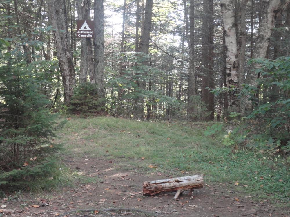
Fires are only allowed in the provided fireplace ring at the Little Bigelow Lean-to. In the state of Maine, it is illegal to build a fire anywhere except within a certified fire ring. Camp stoves are permitted. Camping is not allowed above the tree line (a very delicate and vulnerable area to hike in), please stay on the trail.
The Maine Appalachian Trail Club (MATC) is an all volunteer organization that exists to maintain and protect the 267-mile section of the Appalachian Trail in Maine extending between Katahdin in Baxter State Park and Grafton Notch at ME Route 26. In addition, MATC maintains over 60 miles of side trails as well as a system of regularly spaced shelters and campsites in order that wild, backcountry hiking remains accessible in Maine. MATC publishes The Official Appalachian Trail Guide to Maine, which includes seven maps, please visit their website for information on how to purchase the guide or to learn more about becoming a member of MATC.
Please contact the Bigelow District Overseer by email (bigelow@matc.org) to report any trail or shelter conditions that may require maintenance or special attention.
Visit Maine Appalachian Trail Club or the Maine Bureau of Parks and Lands online (detailed trail guide) for more information or contact:

![]()
Never Feed Wildlife: It can change their behavior and can make them dependent on humans.
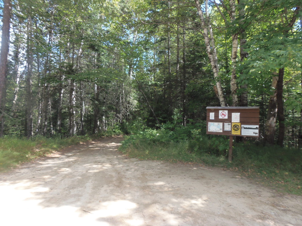
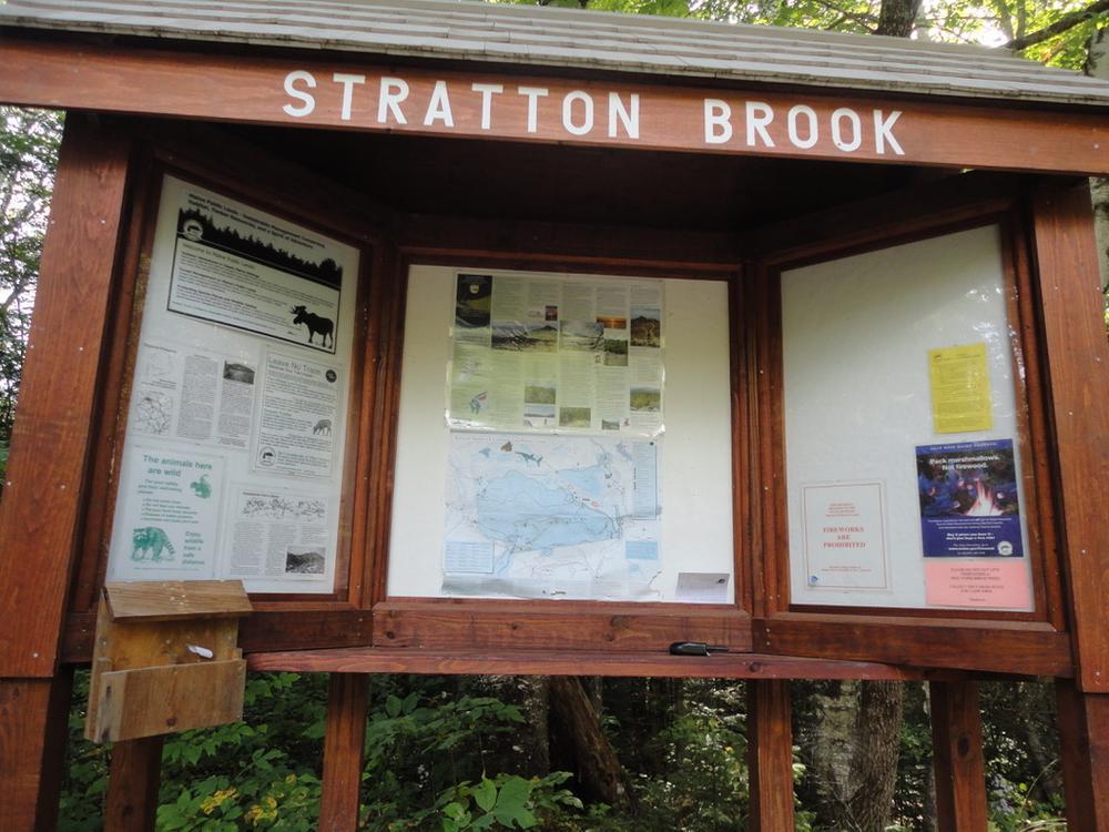
To access the Fire Warden's Trail, enter via the rough gravel Stratton Brook Pond Road which leaves from the eastern side of ME-16/27 4.6 miles south of the junction of ME-16 and ME-27 in the Village of Stratton, or 0.6 miles north of the Appalachian Trail crossing of ME-16/27. At 1.4 miles from the highway, Stratton Brook Pond Road crosses the Appalachian Trail; however, the parking and trailhead for the Fire Warden's Trail is 0.7 miles further.
In the winter, please park in the parking area on ME 16/27 or drive all the way to the trailhead on Stratton Brook Pond Road (which may not be doable for parts of the year. Do not park at the entrance to Stratton Brook Pond Road. Never block driveways or trail access.
Success! A new password has been emailed to you.
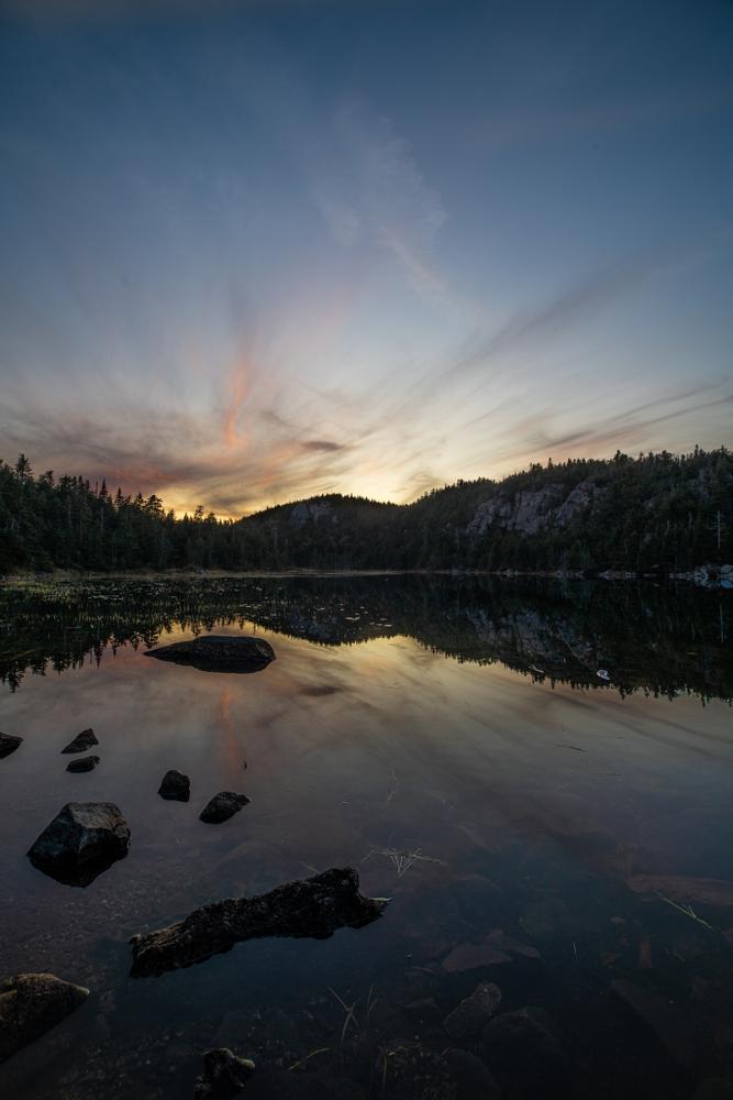
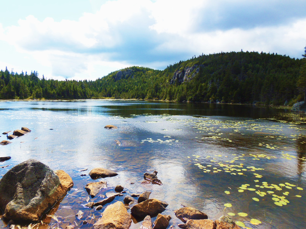

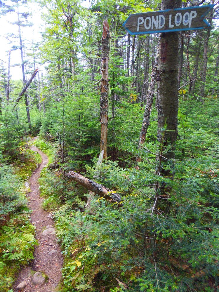


Once we peeled away from the Firewarden's Trail and onto Horns Pond Trail, hiker traffic dropped off dramatically; everybody else must have been heading to Bigelow. Horns Pond Trail is well maintained and passes through a dramatic blowdown area that others with chainsaws worked hard to make easily passable. The pond and surrounds have a wilderness feel. Inviting spot for a swim or just a snack.
Up and back to Horns Pond on the Horns Pond Trail was 9.2 miles per loved one's fancy watch. It took us a little over 6 hours with snacks and lunch on a hot day. Some time back we did the loop, up on Horns Pond Trail and down the AT. Found it to be a stiff descent on the AT and also tedious to walk back to the car on the road. Preferred this day's up-and-back.